| Monday | Monday Night | Tuesday | |
|---|---|---|---|
| Cloud Cover: | Snow showers | Snow decreasing | Light snow and windy |
| Temperatures: | 23 to 28 deg. F. | 5 to 10 deg. F. | 30 to 35 deg. F. |
| Wind Direction: | N | S | SW |
| Wind Speed: | 5 to 10 mph, gusting 20 mph | 1 to 11 | 5 to 15 mph, gusting 25 mph |
| Snowfall: | 2 to 4 in. | 0 in. | 1 to 2 in. |
| Snow Line: |
Whitefish Range
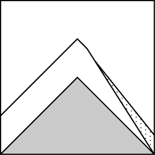
How to read the forecast
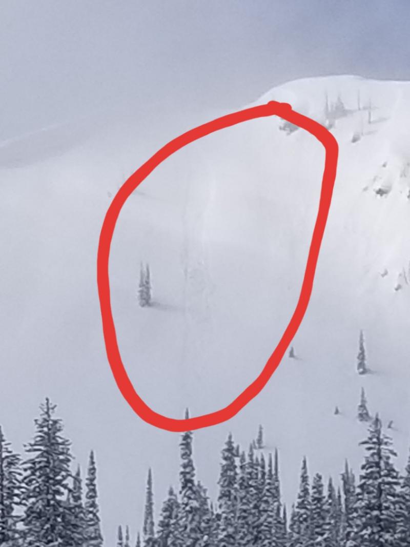
The return of snow and wind has elevated the avalanche danger. In many locations, fresh slabs are resting on a surface crust which will inhibit bonding. Evaluate new snow amounts and look for cracking in the snow surface. Safer riding will be in non-wind loaded terrain.

3. Considerable
?
Above 6500 ft.
3. Considerable
?
5000-6500 ft.
2. Moderate
?
3500-5000 ft.
- 1. Low
- 2. Moderate
- 3. Considerable
- 4. High
- 5. Extreme
-
Type ?
-
Aspect/Elevation ?

-
Likelihood ?CertainVery LikelyLikelyPossible
 Unlikely
 -
Size ?HistoricVery LargeLargeSmall

The current storm favored the northern Whitefish Range with up to 15" at upper elevations and 12" at lower elevations. The southern part of the range only picked up 5". Shifting winds are forming thicker slabs on wind loaded terrain. In many locations, slabs are forming on top of a surface crust which will inhibit bonding and allow for avalanches to travel long distances. Hand pits are a great way to evaluate bonding. Evaluate all steep or convex slopes before committing. Cracking in the snow surface is a sign of instability.
-
Type ?
-
Aspect/Elevation ?

-
Likelihood ?CertainVery LikelyLikelyPossible
 Unlikely
 -
Size ?HistoricVery LargeLargeSmall

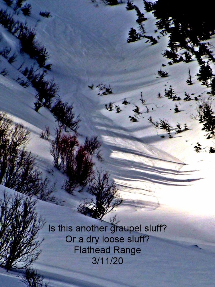
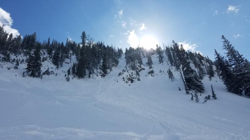
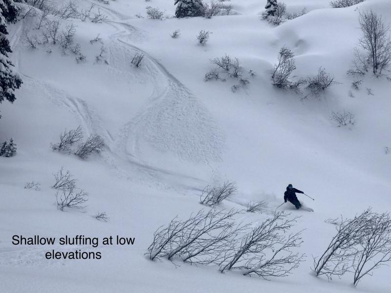
Observations yesterday revealed a poor bond between the new snow and the underlying surface. Resulting loose snow slides today may run surprisingly long distances due to the underlying crust. Avoid traveling above terrain traps and long-running gullies. Shaded non-wind loaded aspects will have better bonding between the new snow and the old surface.
The recent storm favored the northern Whitefish Range with up to 15" of snow and central Glacier Park with 10". Other areas seem to have missed the brunt of the storm and are reporting several inches. The avalanche danger is higher in areas that saw more snowfall. Yesterday the storm arrived warm with southwest winds which shifted to the north overnight accompanied by much cooler temperatures. This should allow for a "right side up" snow surface. Unfortunately, the new snow is falling on a surface crust in many locations. Observations yesterday revealed that this bond was poor in the southern Whitefish Range and in Skiumah Creek. Continued wind and snow will thicken slabs throughout the day. In areas that picked up more than about 8" or 10" of cohesive snow, monitor for storm slab instabilities on all terrain features steeper than 35 degrees. In areas that saw smaller storm totals, slab formation will generally be localized to wind drifted terrain, such as gullies or near ridgelines. In those locations, we have highlighted wind slabs as the primary concern.
If you use our advisories, we encourage you to offer us feedback on this 5-minute survey. For those who participate, we are raffling off a pair of Zeal goggles on April 5th. Thanks!
A diet of steadily strengthening snow showers are expected today, bringing fairly widespread snowfall accumulations to the higher terrain. Expect decreasing snow showers overnight into Tuesday morning.
This advisory applies only to backcountry areas outside established ski area boundaries. This advisory describes general avalanche conditions and local variations always occur. This advisory expires at midnight on the posted day unless otherwise noted. The information in this advisory is provided by the USDA Forest Service who is solely responsible for its content.


