| Monday | Monday Night | Tuesday | |
|---|---|---|---|
| Cloud Cover: | Light snow with easterly winds | Light snow | Mostly dry |
| Temperatures: | 22 to 27 deg. F. | 16 to 21 deg. F. | 25 to 30 deg. F. |
| Wind Direction: | NE | WSW | W |
| Wind Speed: | 1 to 10 mph, gusting to 20 | 1 to 11 mph | 1 to 11 mph, gusting to 20 |
| Snowfall: | 3 to 5 in. | 1 to 2 in. | 0 to 1 in. |
| Snow Line: |
Whitefish Range
Swan Range
Flathead Range and Glacier National Park
How to read the forecast

3. Considerable
?
Above 6500 ft.
3. Considerable
?
5000-6500 ft.
2. Moderate
?
3500-5000 ft.
- 1. Low
- 2. Moderate
- 3. Considerable
- 4. High
- 5. Extreme
-
Type ?
-
Aspect/Elevation ?

-
Likelihood ?CertainVery LikelyLikelyPossible
 Unlikely
 -
Size ?HistoricVery LargeLargeSmall

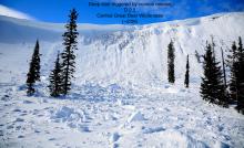
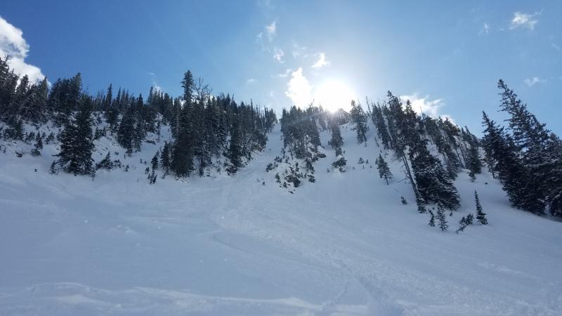
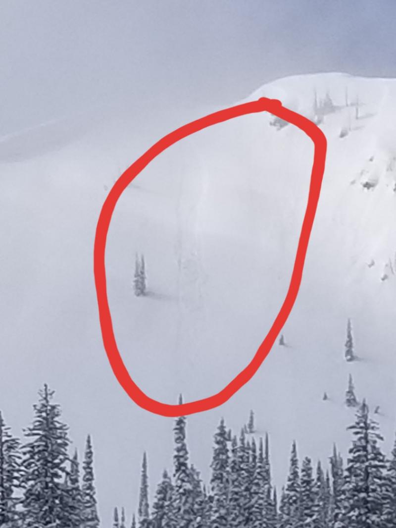
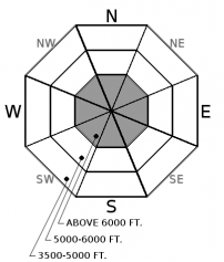
Intense precipitation rates yesterday afternoon and last night likely resulted in a natural storm slab avalanche cycle overnight. Today, a human-triggered storm slab is likely, similar to this avalanche that was skier triggered yesterday (Observation). Up to 12" of dense snow, combined with wind, has formed fresh slabs on top of a variety of surfaces including graupel, low-density snow, and crusts. The thickness of this slab will increase on the leeward terrain below ridgelines and in gullies. With several feet of snow this week, a storm slab avalanche has the potential to be very large and could trigger a deeper instability resulting in a destructive avalanche. Cracking under your feet or machine is an obvious sign of instability.
-
Type ?
-
Aspect/Elevation ?
-
Likelihood ?CertainVery LikelyLikelyPossible
 Unlikely
 -
Size ?HistoricVery LargeLargeSmall

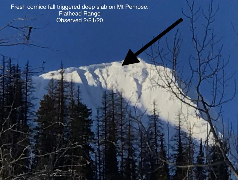
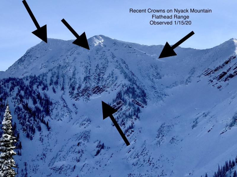
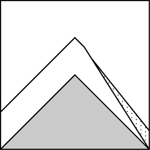
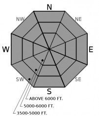
6-day storm totals include 4.9" of SWE in Noisy Basin and 6" at Flattop! Most deep slab avalanches observed this season occurred at the tail end of a major loading event. With a week of heavy precipitation ending our concern needs to include the weak layers buried well below the snow surface. There are several weak layers underneath a thick slab of snow including the Thanksgiving crust/facet combo located near the bottom of the pack. Several very large destructive avalanches recently failed on this layer in the Flathead and Swan Range during our last storm cycle(observation 1, observation 2, observation 3, observation 4). These slides initiated at upper elevations in rocky terrain where the slab depth was not uniform. Deep slabs will be more sensitive to triggers following last night's heavy snowfall, and they are most likely to be triggered from cornice falls. Terrain is the answer with deeply buried weak layers: Avoid steep, unsupported slopes and shallow or rocky areas. Today is a day to avoid lingering in the runout zones of large paths.
-
Type ?
-
Aspect/Elevation ?
-
Likelihood ?CertainVery LikelyLikelyPossible
 Unlikely
 -
Size ?HistoricVery LargeLargeSmall

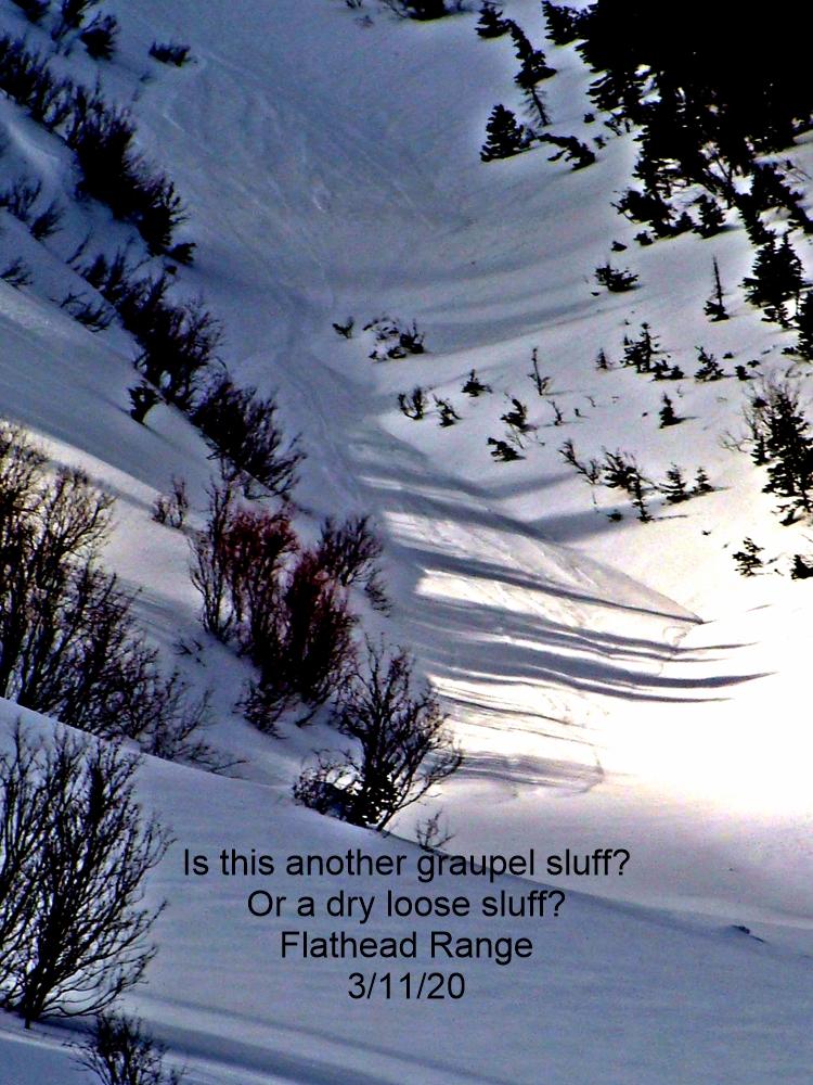
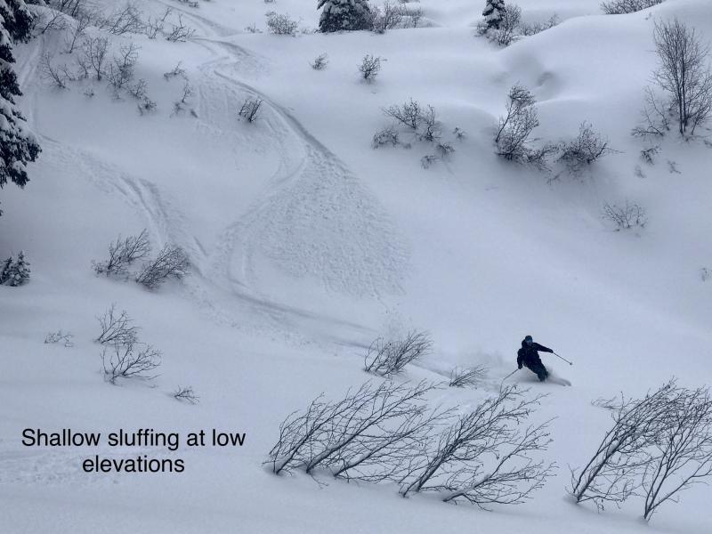
Recent low-density snowfall is sitting on graupel and crusts. In sheltered locations this snow may remain cohesionless and likely be human triggered on slopes greater than 35º. Slides will have the potential to run far and fast due to the underlying slick bed surface, especially at mid and low elevations. Avoid convexities and riding above terrain traps where debris may deposit a substantial debris pile.
24-hour snowfall totals range from 4-12”/ 0.7-0.89” SWE in the Whitefish Range, 11”/2.2” SWE at Noisy Basin, 1.37" SWE in the valley floor of John F. Stevens and 10”/ 1.5” at Flattop in GNP. The battle of two air masses continues as cold arctic air infiltrated into John F. Stevens Canyon and Glacier Park last night dramatically dropping temperatures with accompanying moderate east winds. Currently, the majority of the Whitefish and Swan Range have escaped the Arctic with temperatures remaining mild. Light to moderate snowfall will continue through the day at all elevations.
The avalanche danger has increased in the Swan and Whitefish Ranges due to warm dense snow and southwest winds. Noisy Basin received 2.2" of SWE in 17 hours yesterday with a 6 day total of 4.9". The danger in the Flathead Range and Glacier Park remains elevated with Flattop recording 1.5" in the past 24 hours and 6" over the past 6 days. Storm slab natural avalanche activity likely peaked last night but a human-triggered slide is likely today. This season nearly every large loading event have ended with large destructive avalanches failing near the ground and we expect similar results with this storm. Today we recommend staying off of and below steep slopes with rocky features and/or cornices.
The most recent surge of moisture will taper off through the day today with light to moderate snow expected at all locations. Arctic air has infiltrated the eastern portion of our area with the Swan and Whitefish Ranges currently mild. Easterly winds with temperatures below freezing at all locations should be expected today. A gradual drying trend starts tonight into tomorrow.
This advisory applies only to backcountry areas outside established ski area boundaries. This advisory describes general avalanche conditions and local variations always occur. This advisory expires at midnight on the posted day unless otherwise noted. The information in this advisory is provided by the USDA Forest Service who is solely responsible for its content.


