| Monday | Monday Night | Tuesday | |
|---|---|---|---|
| Cloud Cover: | Light snow showers with cool temperatures. | Precipitation tapers with cold temperatures. | High pressure builds with warming and sunshine. |
| Temperatures: | 25-38 deg. F. | 7-18 deg. F. | 33-46 deg. F. |
| Wind Direction: | West through north | Southwest | South-southwest |
| Wind Speed: | 5-6 mph | 4-6 mph | 4-8 mph with gusts to 16 |
| Snowfall: | 2-5 in. | 0-2 in. | 0 in. |
| Snow Line: |
Whitefish Range
Swan Range
Flathead Range and Glacier National Park
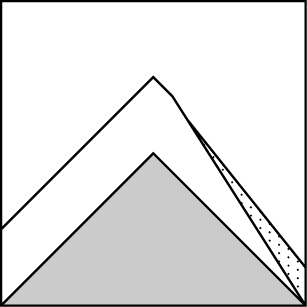
How to read the forecast
Light snow overnight and through today is being deposited onto a surface crust. Winds have and will transport this low density snow and form thin fresh wind slabs in areas favored by snowfall. The avalanche danger is LOW. Continue to practice safe travel techniques and evaluate all slopes that have been favored by new snow or wind loading.

1. Low
?
Above 6500 ft.
1. Low
?
5000-6500 ft.
1. Low
?
3500-5000 ft.
- 1. Low
- 2. Moderate
- 3. Considerable
- 4. High
- 5. Extreme
-
Type ?
-
Aspect/Elevation ?
-
Likelihood ?CertainVery LikelyLikelyPossible
 Unlikely
 -
Size ?HistoricVery LargeLargeSmall

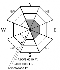
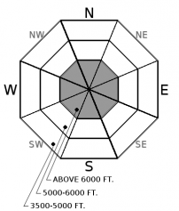
Yesterday's moderate to strong winds have decreased overnight and should remain light through the day. However, overnight snow and snow that will fall today is low density and can be easily transported. Light winds have and will deposit this snow on top of a crust at upper elevation locations. This crust will act as a slippery bed surface and wind deposited snow may have a difficult time bonding. Winds are currently our typical southwesterly flow but wind direction may change to a more northerly direction as the day progresses. These fresh wind slabs will be quite thin, confined to ridgeline locations and easy to identify by cracking in the snow beneath your skis or machine.
-
Type ?
-
Aspect/Elevation ?
-
Likelihood ?CertainVery LikelyLikelyPossible
 Unlikely
 -
Size ?HistoricVery LargeLargeSmall

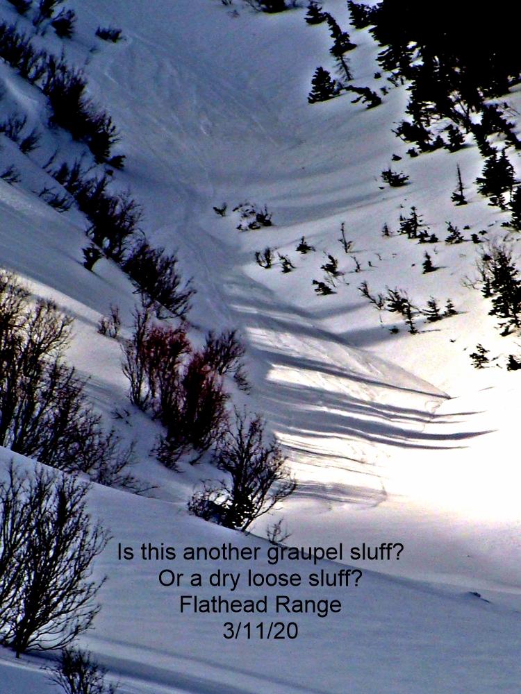
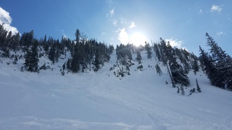
2-4 inches of low density snow fell at most of our upper elevation weather stations overnight with light snow forecast to continue through the day. At upper elevations this snow was deposited on top of a surface melt freeze crust created from Friday's warm sunny weather. This dry snow will have a difficult time adhering to the underlying surface in locations where the surface was frozen prior to snows arrival. In locations favored by snowfall there is a chance that you could trigger a small loose dry avalanche in this layer today. With the underlying crust as a great bed surface these small slides may run surprisingly long distances.
With the fickle and often surprising weather events that spring in northwest Montana brings it's important to pay attention to prolonged warm and sunny conditions or heavy rain that could weaken deep layers again.
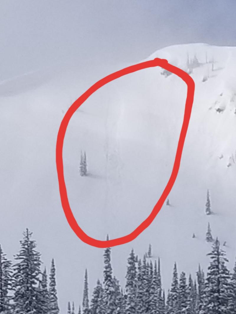
Glide cracks have also been observed opening up in many locations. The first reported glide avalanche this season was March 25 and occurred west of the WMR ski area in the southern Whitefish Range. There is a large amount of uncertainty associated with glide avalanches, so the best way to manage them is to avoid slopes where they are present.
The last daily avalanche advisory of the season will be Sunday, April 9.
Sunday: FAC staff visited Skiumah Creek, in the Flathead Range, where we noted older large impressive wet avalanche debris piles. The snow surface at low and mid elevations was moist and unsupportable to skis throughout the day. New snow that fell during our tour was being transported at all elevations by strong wind gusts.
Saturday: Skiers in the Crystal Creek/Cascadilla Creek area of the Flathead Range noted no surface crust in the trees at low elevations, but there was a supportable crust above 5500 feet. No natural loose wet avalanche activity or rollerballs were observed during their tour.
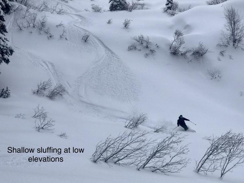
Friday: FAC staff toured in the Blaine Mountain area of the northern Swan Range where they found up to 14" of recent snow sitting on top of the mid March rain crust. Warm temperatures and sunshine warmed and moistened the new snow and created rollerballs and loose wet slides.
See below for all observations this season.
Yesterday was a wild spring weather day with a little bit of everything: rain, rain/snow mix, silver dollar sized snowflakes, graupel, moderate winds with occasional strong gusts, obscured skies and prolonged periods of solar input. Currently, mountain temperatures are 27-35º F and winds are 2-10 mph gusting to 17 mph out of the southwest. Today expect mostly cloudy conditions, temperatures in the 20s with scattered light snow showers favoring Glacier Park and the Flathead and Swan ranges.
| 0600 temperature: | 21-27 deg. F. |
| Max. temperature in the last 24 hours: | 31-40 deg. F. |
| Average wind direction during the last 24 hours: | Southwest |
| Average wind speed during the last 24 hours: | 5-31 mph |
| Maximum wind gust in the last 24 hours: | 22-46 mph |
| New snowfall in the last 24 hours: | 0-4 inches |
| Total snow depth: | 86-124 inches |
This advisory applies only to backcountry areas outside established ski area boundaries. This advisory describes general avalanche conditions and local variations always occur. This advisory expires at midnight on the posted day unless otherwise noted. The information in this advisory is provided by the USDA Forest Service who is solely responsible for its content.


