| Wednesday | Wednesday Night | Thursday | |
|---|---|---|---|
| Cloud Cover: | Mostly Cloudy | Partly Cloudy | Partly Cloudy |
| Temperatures: | 25 to 33 deg. F. | 12 to 16 deg. F. | 26 to 34 deg. F. |
| Wind Direction: | West | West | Southwest |
| Wind Speed: | 9G21 | 12 | 15G33 |
| Snowfall: | 1" to 2" in. | 0" to 1" in. | 0" in. |
| Snow Line: | 2000' | 1500' | 1000' |
Flathead Range and Glacier National Park
How to read the forecast
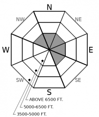
Enjoy mostly stable conditions today. The exceptions will be wind slabs in steep alpine terrain or sluffing where the surface snow is loose. The problems are easily avoidable. The risk you undertake correlates to your terrain choices. Steeper, unsupported slopes with terrain traps below will expose you to the biggest hazards.

1. Low
?
Above 6500 ft.
1. Low
?
5000-6500 ft.
1. Low
?
3500-5000 ft.
- 1. Low
- 2. Moderate
- 3. Considerable
- 4. High
- 5. Extreme
-
Type ?
-
Aspect/Elevation ?
-
Likelihood ?CertainVery LikelyLikelyPossible
 Unlikely
 -
Size ?HistoricVery LargeLargeSmall

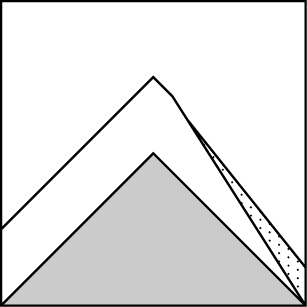
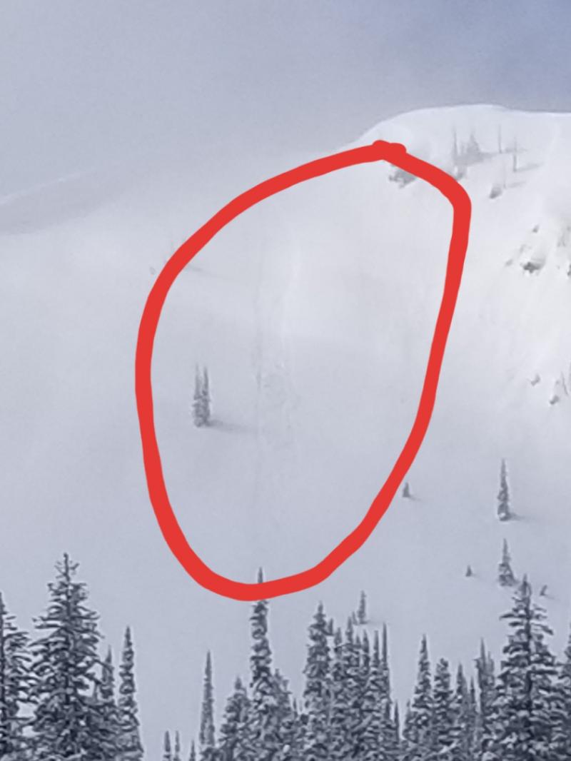
Sustained winds early this week created drifts on the leeward side of alpine ridges and on the sidewalls of steep chutes. Observers reported several small natural avalanches over the last 2 days. Otherwise-avoidable drifts may be camouflaged by newer snow. Steer clear of rounded dunes in down-wind areas likely to collect drifting snow. Continue to give cornices, and the slopes below them, due caution.
-
Type ?
-
Aspect/Elevation ?

-
Likelihood ?CertainVery LikelyLikelyPossible
 Unlikely
 -
Size ?HistoricVery LargeLargeSmall

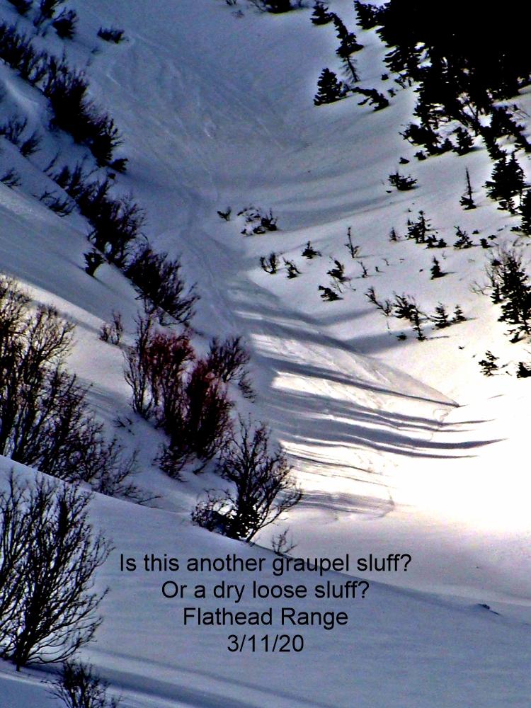
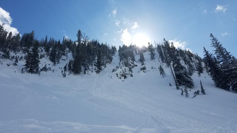
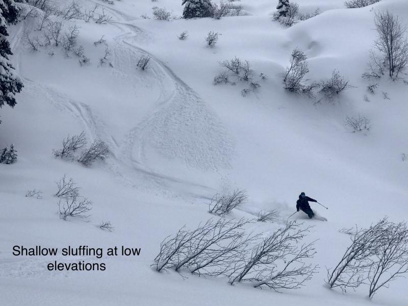
If you’re lucky enough to be riding on more than 6 inches of loose snow, mind your sluff and manage your terrain so that you can let moving snow pass you by. On very steep slopes, snow will move faster and entrain more debris. Confined chutes with terrain traps below deserve a second thought.
Avalanche activity has reflected the forecast this week. We’ve seen a few small, isolated wind slab avalanches in alpine terrain (Whitefish Range yesterday, John Stevens Canyon on Monday). Large loose wet avalanches ran at middle elevations on Sunday. Observers triggered small loose dry avalanches through yesterday. One of these caught and carried a rider in steep, confined terrain in a minor incident last weekend. The series of small slides and the incident are reminders to evaluate your choices carefully. Isolated exceptions to the generally stable conditions exist. Don’t get taken by surprise and taken for a ride.
Occasional showers today could drop another quick inch or two of fresh snow, which may fall on the graupel from yesterday’s showers. At lower elevations and sunny aspects, newer snow rests on melt-freeze crusts. Above around 5,500 feet on north-facing slopes, 6 to 10 inches of soft snow sit atop old, hard wind slabs or a thin layer of facets. Small, newer wind slabs may have formed where there was enough snow for light winds to blow around. Older, larger slabs may linger in the highest terrain. New snow will likely get warm and wet. Rollerballs or small wet sluffs are possible, especially on northerly aspects. Sluffing where there’s more loose snow and isolated wind slabs remain the problems to identify before committing to steep lines or extreme terrain.
A final factor to consider before committing to big objectives: local medical staff are overtaxed. Any backcountry accidents could put extra strain on an already stressed EMS system. More risk for you means more risk for everyone. Take care of yourself.
Expect another day of scattered showers. Some could be briefly intense. Temperatures warm to near freezing around 5,000' today. Cool and dry conditions are expected Thursday with increasing wind.
This forecast applies only to backcountry areas outside established ski area boundaries. The forecast describes general avalanche conditions and local variations always occur. This forecast expires at midnight on the posted day unless otherwise noted. The information in this forecast is provided by the USDA Forest Service who is solely responsible for its content.


