| Saturday | Saturday Night | Sunday | |
|---|---|---|---|
| Cloud Cover: | Mostly Cloudy | Mostly Cloudy | Mostly Cloudy |
| Temperatures: | 22 to 27 deg. F. | 9 to 15 deg. F. | 14 to 20 deg. F. |
| Wind Direction: | South | Southwest | Southeast |
| Wind Speed: | 4G29 | 16G31 | 14G31 |
| Snowfall: | 6" to 8" in. | 4" to 6" in. | 4" to 5" in. |
| Snow Line: | 2000' | 1500' | 0' |
Whitefish Range
How to read the forecast
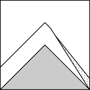
The avalanche hazard will rise throughout the day. The obvious: as new snow stacks up, watch for loose dry and soft slab avalanches. Manage this by sticking to terrain with clean run-outs and away from steep, rocky avalanche chutes. The dangerous: persistent weak layers buried in our snowpack could wake up with the weight of a rider, new snow, or a smaller avalanche. Shooting cracks and collapses are signs to seek low angle terrain.

2. Moderate
?
Above 6500 ft.
2. Moderate
?
5000-6500 ft.
1. Low
?
3500-5000 ft.
- 1. Low
- 2. Moderate
- 3. Considerable
- 4. High
- 5. Extreme
-
Type ?
-
Aspect/Elevation ?
-
Likelihood ?CertainVery LikelyLikelyPossible
 Unlikely
 -
Size ?HistoricVery LargeLargeSmall

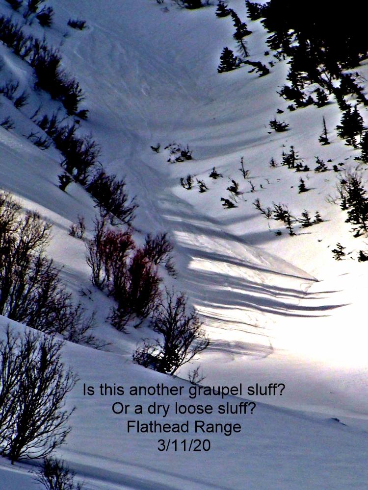
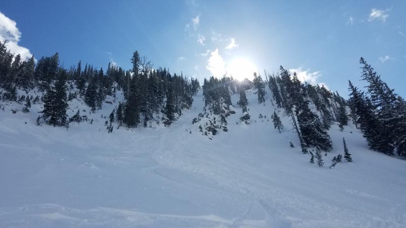
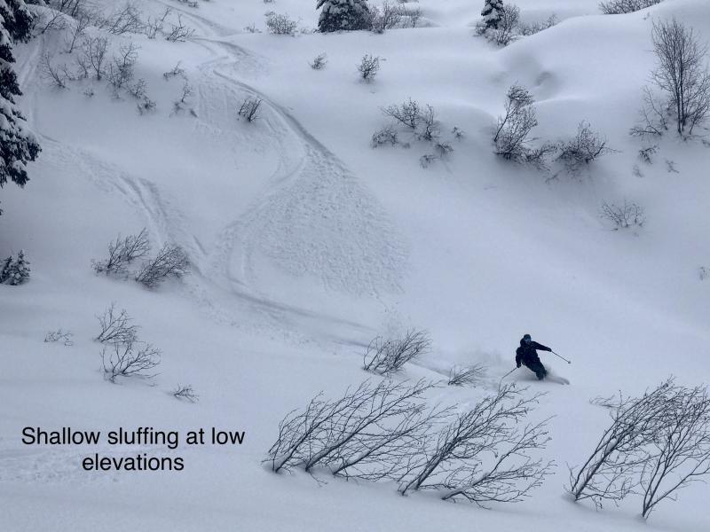
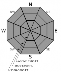
As moderate to heavy snowfall continues, expect natural and skier triggered loose dry avalanches in the low density new snow. Although loose dry avalanches are a manageable hazard with defensive riding techniques, they can be consequential if they push you into a gully, through trees, or over cliff bands. If you see 6 to 10 inches of new snow stack up, manage your terrain carefully around steep start zones, cliff bands, and watch out for steep terrain overhead where these avalanches can release and entrain snow on their way down. The scarier issue today is that loose dry avalanches might be able to step down and trigger buried persistent weak layers, creating a larger, more dangerous slide.
-
Type ?
-
Aspect/Elevation ?

-
Likelihood ?CertainVery LikelyLikelyPossible
 Unlikely
 -
Size ?HistoricVery LargeLargeSmall

Several weak layers buried 2 to 3 feet deep continue to show signs that make them untrustworthy. Surface hoar and faceted crusts that developed throughout the holidays have become stubborn, yet pit tests show that they have the propensity to propagate. As new snow continues to stress these weak layers, there is the uncertainty of what will tip the balance. Shooting cracks and collapses are sure signs to seek out terrain with slope angles no greater than 35 degrees.
This storm, much colder than the previous ones, will bring snowfall to all elevations. Yes, I said snowfall, not rain! We are also seeing decreasing temperatures, which will make this snow sit right side up (not top-heavy) like the previous two storms. If you can stay warm and out of harm's way, it will make for an enjoyable weekend.
The freshest topic is storm snow. Throughout the region, we can see anywhere from 8 to 16 inches of snow by this evening, favoring the Swan Range. The danger is higher in areas that are expected to receive more snow by the end of the day. Loose dry and soft slab avalanches will be manageable today. The biggest worry is how the buried persistent weak layers, now 2 to 3 feet down, will behave with additional loading. Another change is that all elevations can become a player today. We have seen little to no snow below 5000 feet. The last storm left us with snow down to 3500 feet and a melt-freeze crust to top it off. New snow will stuff off easily in this terrain. Then as gain elevation to mid and upper elevations, deeper issues are a concern.
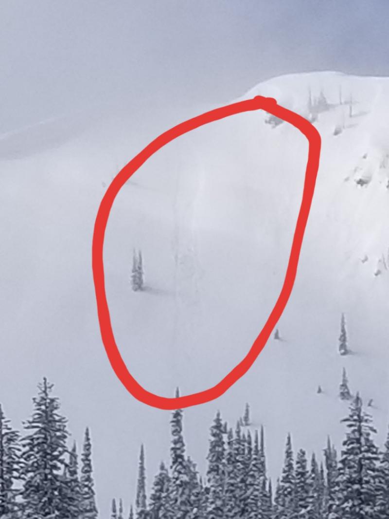
The last persistent slab avalanche was reported on January 8th. The snowpack was finally adjusting to the last load of weight, and then BAM, here we go with another. Take a minute to look at observations from the Whitefish Range, Glacier National Park, and the Swan Range, before heading into the field today to see what is beneath the light, fluffy snow that is falling from the sky. Buried surface hoar and faceted crusts are a much more dangerous scenario than the manageable new snow hazards. As more weight is added to the snowpack throughout the weekend, select terrain with lesser slope angles and be cautious about traveling in terrain with overhead hazards.
Moderate to heavy snowfall will continue today. Expect accumulations to range from 3 to 6 inches in Flathead and Glacier National Park and up to 8 to 10 inches in the Swan Range. Winds will be light with gusts as high as 30 mph out of the SW. Temperatures will be in the low 20s and drop to single digits overnight.
This forecast applies only to backcountry areas outside established ski area boundaries. The forecast describes general avalanche conditions and local variations always occur. This forecast expires at midnight on the posted day unless otherwise noted. The information in this forecast is provided by the USDA Forest Service who is solely responsible for its content.


