| Saturday | Saturday Night | Sunday | |
|---|---|---|---|
| Cloud Cover: | Overcast | Overcast | Mostly Cloudy |
| Temperatures: | 27 to 33 deg. F. | 14 to 20 deg. F. | 22 to 28 deg. F. |
| Wind Direction: | Southwest | Southwest | North |
| Wind Speed: | 19G36 | 13G28 | 6G33 |
| Snowfall: | 3" to 6" in. | 4" to 10" in. | 1" in. |
| Snow Line: | 4500' | 4000' | 1000' |
Flathead Range and Glacier National Park
How to read the forecast
An Avalanche Watch has been issued and the danger will increase into tomorrow.
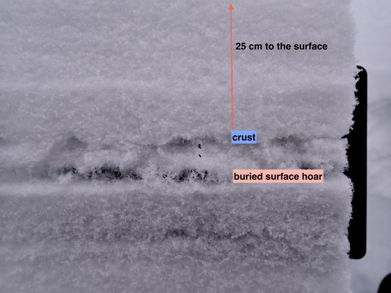
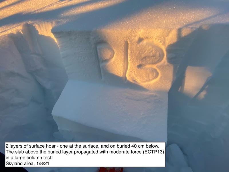
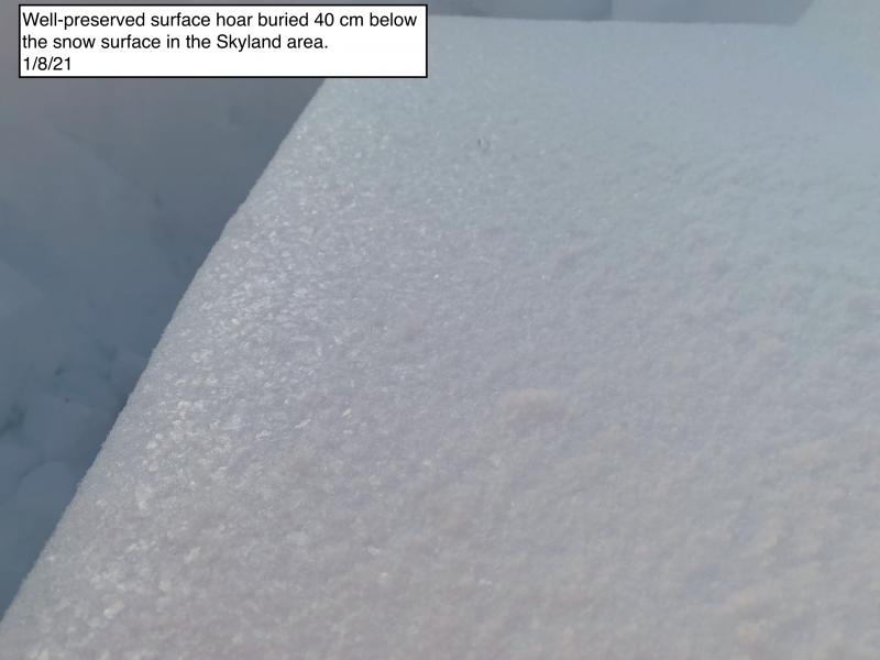
Track new snowfall today and dial back your terrain choices as it gets deeper. Weak layers of surface hoar and faceted crusts are already buried under a foot of snow from previous storms. Storm slabs will become more sensitive this afternoon, especially in wind-drifted areas below ridgelines. Deeper instabilities lurk in the higher terrain. Downed logs and buried rocks will increase the consequences of triggering a slide.

2. Moderate
?
Above 6500 ft.
2. Moderate
?
5000-6500 ft.
1. Low
?
3500-5000 ft.
- 1. Low
- 2. Moderate
- 3. Considerable
- 4. High
- 5. Extreme
-
Type ?
-
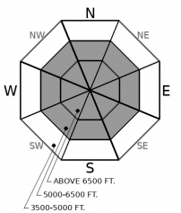
Aspect/Elevation ?
-
Likelihood ?CertainVery LikelyLikelyPossible
 Unlikely
 -
Size ?HistoricVery LargeLargeSmall

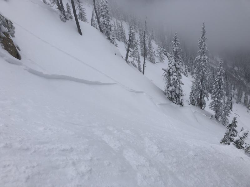
By this afternoon, several inches of new snow will add weight to weak layers of surface hoar and faceted crusts buried about a foot deep by snow that has been accumulating all week. Steep, middle and upper elevation slopes will become more dangerous throughout the day. Slabs may be thicker and more sensitive on leeward slopes below ridgelines and in alpine bowls. Shooting cracks are a red flag. Be extra wary above terrain traps.
-
Type ?
-
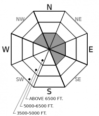
Aspect/Elevation ?
-
Likelihood ?CertainVery LikelyLikelyPossible
 Unlikely
 -
Size ?HistoricVery LargeLargeSmall

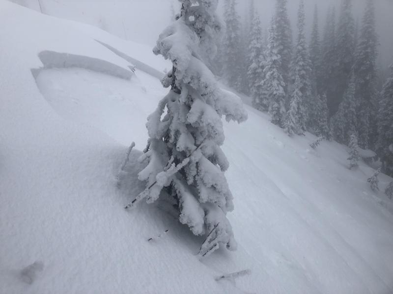
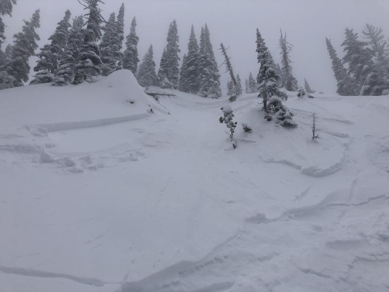
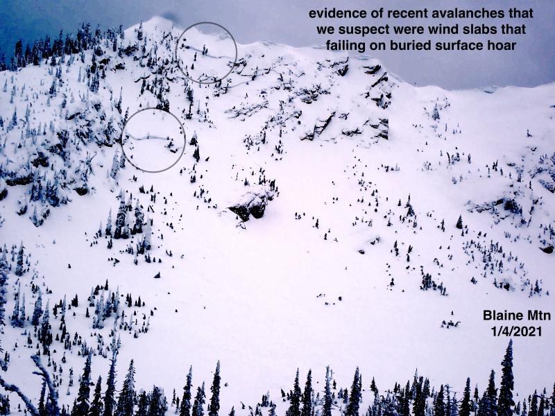
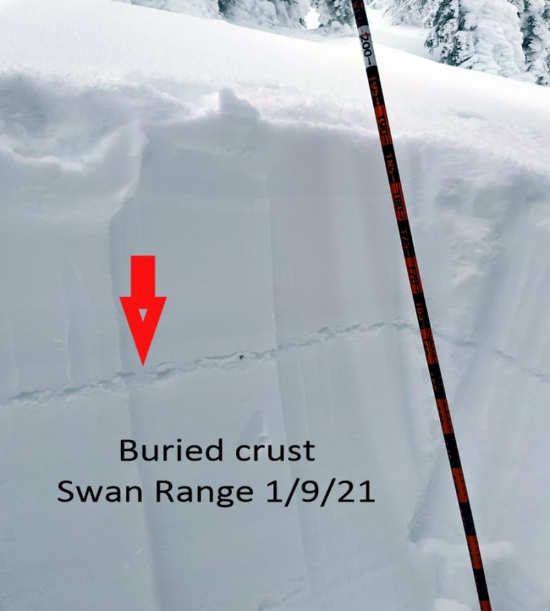
On steep, upper elevation slopes, you may be able to trigger large slabs that break around crusts that formed in late October and mid November. The thickest slabs exist in bowls and large slopes like those where big slides were reported on Nov. 22. These are more widespread closer to the Continental Divide in Glacier National Park. Elsewhere, recent snow has accumulated above the Nov. 19 rain crust or a surface hoar layer that formed a few days later, creating other potenially dangerous structures. Step back from steep slopes if you see the unambiguous signs of instability - shooting cracks, whumpfing collapses, and recent slides.
As major precip finally heads our way, it's a good idea to remember what's underneath.
Dry, wintry snow cover has been limited to the higher elevations this fall. The layers include hard crusts at the bottom and middle of the snowpack from late October and mid-November. Sugary snow above and between these crusts makes for a weak base that may not support the weight of significant new loading. Pair that with a preserved layer of surface hoar that is now lurking below this week's snowfall at mid and some upper elevations. Since the start of the week, these layers have gradually been buried by 1.0" to 2.5" of Snow Water Equivalent (about 6" to 12" of slab-forming snow). We have received a few reports from test pits that these buried weak layers will easily become unstable with the rapid loading expected in the next 24 hours. This is our developing storm slab problem. Below about 5500 feet, thin, moist snow barely covers brush, stumps, and logs. Getting swept into the bush is a dangerous prospect.
While we have limited field observations so far, it appears the most well-developed snowpack and the potential for the largest slides is near the Continental Divide. Recent storms have built thicker slabs above the Nov. 19 rain crust, which stops at lower elevations there. Elsewhere, the persistent slab problem is more isolated, and storm slabs are a more immediate concern.
A Winter Weather Advisory goes into effect this afternoon. Snowfalll rapidly increases into tonight favoring the Swan Range and portions of Glacier National Park near the Divide. Southwest winds will be strong enough to drift snow into leeward terrain today. Winds shift to the north tomorrow.
This forecast applies only to backcountry areas outside established ski area boundaries. The forecast describes general avalanche conditions and local variations always occur. This forecast expires at midnight on the posted day unless otherwise noted. The information in this forecast is provided by the USDA Forest Service who is solely responsible for its content.


