| Tuesday | Tuesday Night | Wednesday | |
|---|---|---|---|
| Cloud Cover: | Mostly Cloudy | Mostly Cloudy | Mostly Cloudy |
| Temperatures: | 34 to 42 deg. F. | 27 to 31 deg. F. | 37 to 45 deg. F. |
| Wind Direction: | Northeast | Northeast | West |
| Wind Speed: | 5 to 10, Gusting to 20 | 5 to 10, Gusting to 20 | 5 to 10 |
| Snowfall: | 3 to 6 in. | 2 to 5 in. | 1 to 2 in. |
| Snow Line: | 6000' | 5000' | 5000' |
Whitefish Range
Swan Range
Flathead Range and Glacier National Park
How to read the forecast
Tuesday's storm will form fresh thin slabs above 5000'. Slabs will be thickest downwind of ridgelines and in cross-loaded gullies. Look and feel for textured dense snow with cracking a sign of instability. Rain and heavy snow may result in wet slides at middle elevations. Dense sluffs could be problematic above terrain traps, cliff bands, and thick trees. Avoid recreating on slopes below glide cracks.

No Rating
?
Above 6500 ft.
No Rating
?
5000-6500 ft.
No Rating
?
3500-5000 ft.
-
Type ?
-
Aspect/Elevation ?

-
Size ?HistoricVery LargeLargeSmall

A storm entering our area Tuesday will favor the Swan Range and areas close to the Continental Divide with 4-10” of dense snow. Shifting winds will thicken slabs downwind of ridgelines and in cross-loaded gullies. Monitor new snow totals and look for blowing snow as you gain elevation. Utilize hand pits and test slopes to evaluate the bonding of the new snow to the underlying surface. Shooting cracks are bull's eye data that you should head for lower angle terrain.
-
Type ?
-
Aspect/Elevation ?
-
Size ?HistoricVery LargeLargeSmall

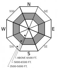
A poor overnight refreeze, wet heavy snow, and rain will increase wet slide activity. Rain may weaken recent snow, especially on northerly aspects. Fresh snow may not bond well to crusts on steep slopes. Rollerballs and tree bombs are a precursor to wet loose slides. Dense debris may pack a surprising punch with consequences magnified in terrain traps, long-running gullies and above cliff bands.
-
Type ?
-
Aspect/Elevation ?

-
Size ?HistoricVery LargeLargeSmall

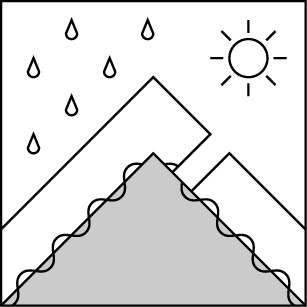
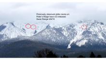
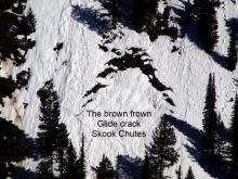
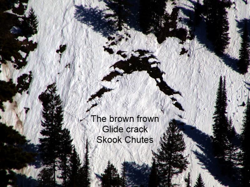
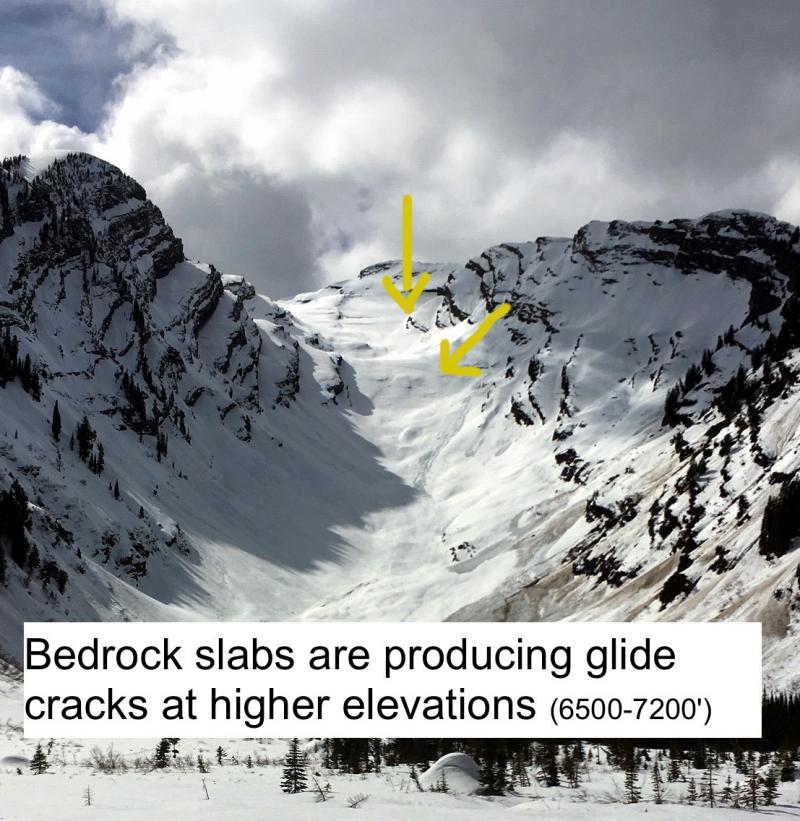
Seasonal temperatures are increasing meltwater production in the snowpack with Tuesday’s rain adding to the problem. Glide cracks continue to open on all aspects throughout our area. These features will either melt in place or fail catastrophically. Unfortunately, glide avalanches are unpredictable and forecasting their failure is difficult at best. Several nights of above freezing temperatures with warm sunny days, or heavy rain, is the best recipe for failure. Steering clear of slopes harboring cracks is encouraged.
Unsettled weather returned to the Flathead Sunday with 0.5” - 0.7” of SWE and generally 4-6” of dense snow above 6000’. The Tuesday/Wednesday storm may deposit up to 1" of precipitation at favored upper elevation terrain along the Continental Divide and in the Swan Range. The Whitefish Range may miss out on the majority of the precipitation. We expect 4 - 10” of new snow by Wednesday morning above 6000'. The storm arrives warm with freezing levels approaching 6000’ before dropping overnight. After a long absence, the storm slab problem has returned to our forecast. Slabs will be most widespread and thickest at upper elevations. Areas downwind of ridgelines and in cross-loaded gullies may develop slabs greater than 1-foot thick. Cracking will alert you to the presence of a slab, with shooting cracks an obvious sign to seek out lower angle terrain.
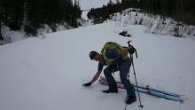
Above 5000,’ recent snow from Sunday and this storm will keep the wet loose problem elevated. My ski partners and I were able to trigger wet loose slides in steep terrain Sunday at WMR. The 4” of moist surface snow was not bonding to the underlying melt-freeze crust and ran surprisingly long distances depositing dense piles of debris. Tuesday's rain/snow mix will add thickness and weight to recent snow resting on crusts.
Many areas below 5000’ have a thin snowpack which has been worked over by rain, sun, and avalanches from above. This snowpack may be wet and punchy but is generally stable. Avalanche concerns in this terrain primarily consist of overhead hazards. Avalanche paths large enough to reach the lower elevations are found in the Flathead Range and Glacier Park.
This is a late-season snowpack update. The next update will be issued on April 11th at 7 a.m. unless conditions warrant an earlier update.
EDUCATION: The Scoop on Spring Touring: Curious about spring snow and safe travel techniques? This is the talk for you. Join FAC Lead Forecaster Blase Reardon for a FREE one hour talk on spring conditions in the Flathead. The talk begins at 6:30 p.m. Thursday, April 11th at Rocky Mountain Outfitters in Kalispell. That evening is also a community night for the Friends of the Flathead Avalanche Center at Sweet Peaks in Kalispell. Stop by for a sweet treat and then head down the street to get the scoop on spring conditions.
A storm system will enter our area late Tuesday morning with precipitation tapering off Wednesday morning. Warm temperatures with freezing levels near 6000' will usher in this system. Temperatures will cool by Tuesday afternoon with freezing levels possibly dropping to 4500' by Wednesday.
This forecast applies only to backcountry areas outside established ski area boundaries. The forecast describes general avalanche conditions and local variations always occur. This forecast expires at midnight on the posted day unless otherwise noted. The information in this forecast is provided by the USDA Forest Service who is solely responsible for its content.


