| Wednesday | Wednesday Night | Thursday | |
|---|---|---|---|
| Cloud Cover: | Mostly Cloudy | Overcast | Partly Cloudy |
| Temperatures: | 35 to 40 deg. F. | 27 to 32 deg. F. | 40 to 45 deg. F. |
| Wind Direction: | South/ Southwest | Southwest | Southwest |
| Wind Speed: | 10 to 15, gusting to 20 | 20 to 25, gusting to 40 | 15 to 20, gusting to 35 |
| Snowfall: | 0 to 1 in. | 1 to 6 in. | 0 in. |
| Snow Line: | 5000 | 6000 | 5000 |
Whitefish Range
Swan Range
Flathead Range and Glacier National Park
How to read the forecast
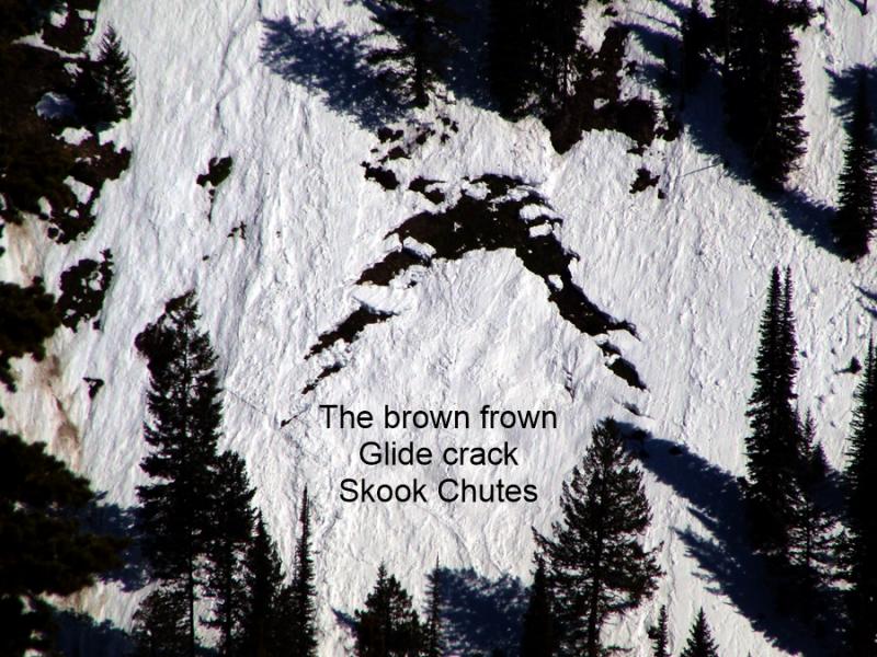
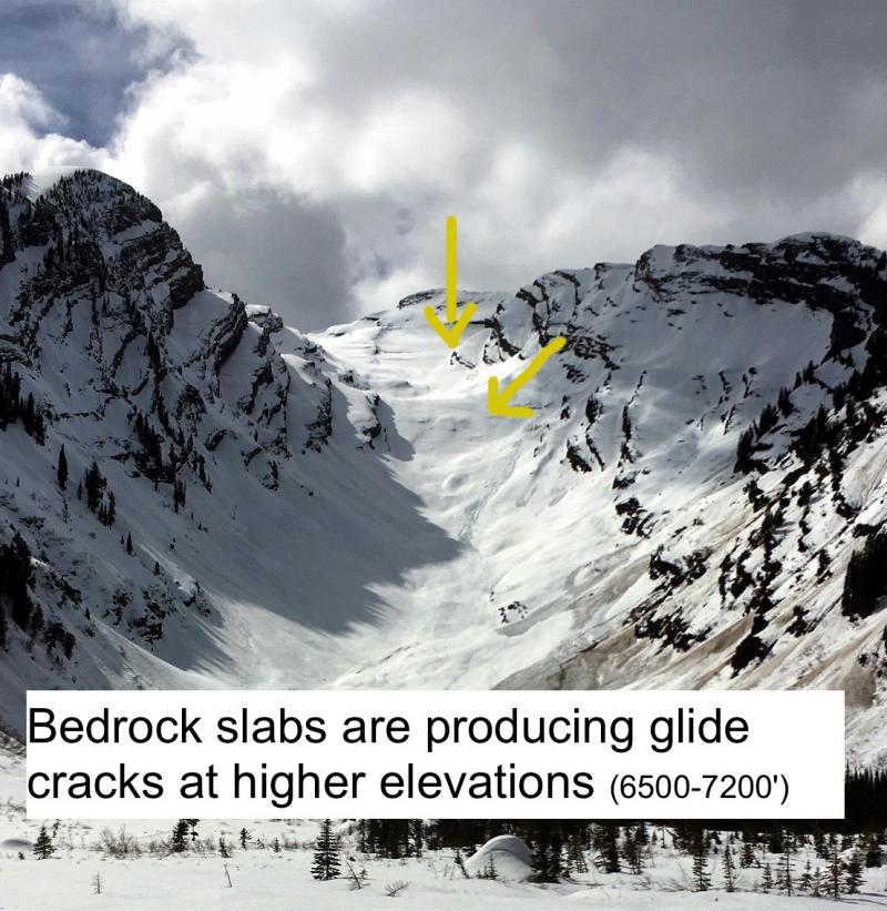
Avalanche problems are isolated and easy to manage. Avoid slopes below glide cracks. Watch for sluffing in steep, northerly terrain where loose, cohesionless snow exists at the snow surface. Warm, wet and windy weather may create new avalanche problems by tomorrow morning.

1. Low
?
Above 6500 ft.
1. Low
?
5000-6500 ft.
1. Low
?
3500-5000 ft.
- 1. Low
- 2. Moderate
- 3. Considerable
- 4. High
- 5. Extreme
-
Type ?
-
Aspect/Elevation ?
-
Likelihood ?CertainVery LikelyLikelyPossible
 Unlikely
 -
Size ?HistoricVery LargeLargeSmall

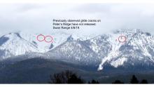
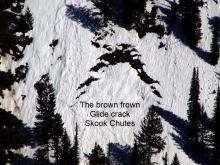
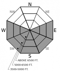
Glide cracks have formed on isolated slopes where the snowpack sits on grass or bedrock. The cracks open when the season's snowpack slides downslope, separating itself from the snow higher on the slope. The slabs release when the snow supporting them fails. That's only partially related to temperatures and meltwater. The most reliable way to manage this unpredictability is to avoid slopes below open glide cracks.
-
Type ?
-
Aspect/Elevation ?
-
Likelihood ?CertainVery LikelyLikelyPossible
 Unlikely
 -
Size ?HistoricVery LargeLargeSmall

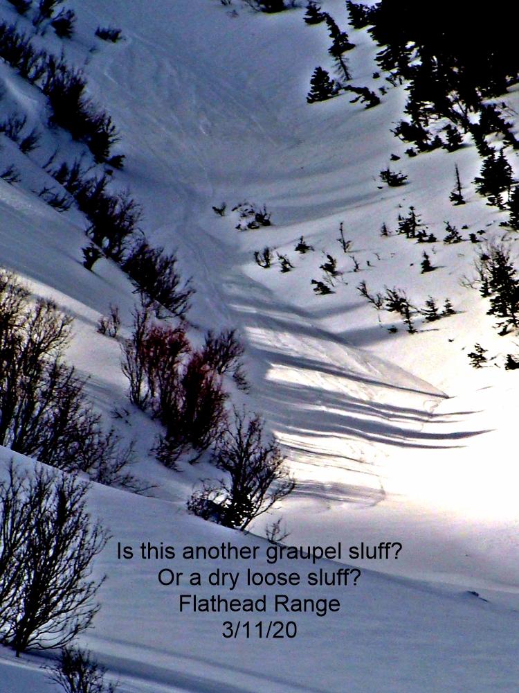
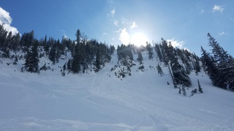
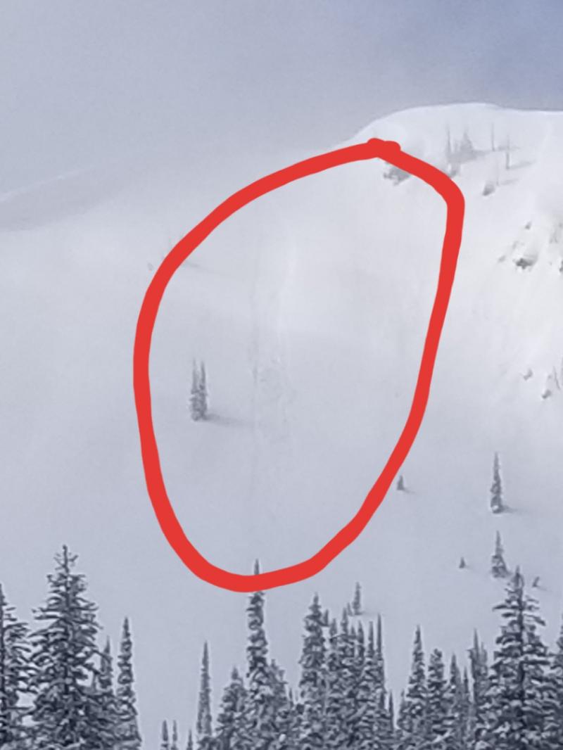
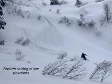
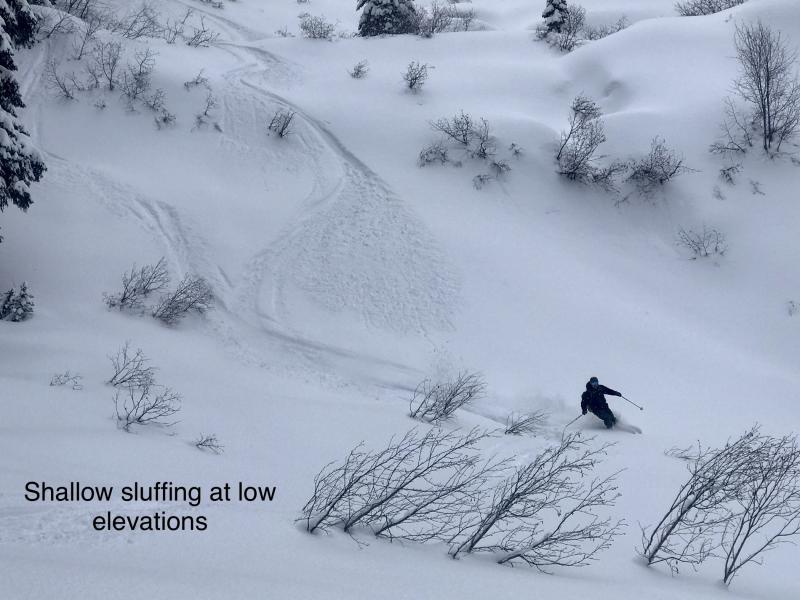
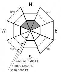
Loose, cohesionless snow can release as sluffs on steep, northerly slopes. These may involve dry snow at upper elevations, or stickier, moist snow in mid-elevation or warmer terrain. In either case, reduce your exposure to this hazard by picking lines that allow you to escape to the side before triggered sluffs knock you off your feet and into or over a terrain trap. Natural sluffs are possible if rain falls high enough to wet cold, dry snow, so avoid being under steep, rocky slopes if rain showers follow you to high terrain.
Our benign Spring weather changes today to a wetter pattern that will bring rain and snow showers and strong gusty winds overnight, with similar conditions periodically over the next week. That will eventually complicate avalanche problems. Today's showers don't look to bring enough water to increase the likelihood or size of Glide Slab avalanches, but those cracks won't close because the weather changes. So continue to look up above you for open glide cracks; find ascent routes and play spots that aren't below this unpredicable hazard.
Like sightings of some rare animal, reports of dry snow trickle in from high, cold, northerly slopes. In the Flathead Range Tuesday, this snow was cohesionless and sluffed easily on steep slopes. Above 7000 feet, some sluffs ran relatively long distances and were large enough to knock a person off their feet. That dry snow may turn moist or wet today, thanks to higher freezing levels and the possibility of wet, heavy snow or rain showers. It will remain cohesionless and prone to sluffing regardless. Should you encounter the rare and fabled snowus dryus on steep slopes - or its cousin, snowus loosus moistiae, pick lines that have runouts free from rockbands, gullies, and other terrain traps.
If more than a few inches of snow accumulate overnight, a wind slab avalanche problem may develop, and tomorrow's danger may be higher.
EDUCATION: The Scoop on Spring Touring: Curious about spring snow and safe travel techniques? This is the talk for you. Join FAC Lead Forecaster Blase Reardon for a FREE one hour talk on spring conditions in the Flathead. The talk begins at 6:30 p.m. Thursday, April 11th at Rocky Mountain Outfitters in Kalispell. That evening is also a community night for the Friends of the Flathead Avalanche Center at Sweet Peaks in Kalispell. Stop by for a sweet treat and then head down the street to get the scoop on spring conditions.
Warm, wet and windy weather is approaching. Expect gusty winds and widespread rain and snow showers this afternoon. Both continue overnight, with strong southwest winds developing. By morning, snow totals look to be 1 to 6 inches, with the Swan Range favored.
This forecast applies only to backcountry areas outside established ski area boundaries. The forecast describes general avalanche conditions and local variations always occur. This forecast expires at midnight on the posted day unless otherwise noted. The information in this forecast is provided by the USDA Forest Service who is solely responsible for its content.


