| Tuesday | Tuesday Night | Wednesday | |
|---|---|---|---|
| Cloud Cover: | Partly Cloudy | Partly Cloudy | Mostly Cloudy |
| Temperatures: | 39 to 48 deg. F. | 22 to 27 deg. F. | 36 to 44 deg. F. |
| Wind Direction: | East-northeast | East | South |
| Wind Speed: | 7, gusting to 15 | 10, gusting to 20 | 10, gusting to 20 |
| Snowfall: | 0 in. | 0 in. | 0-3 in. |
| Snow Line: | 4000' | 4000' | 4000' |
Whitefish Range
Swan Range
Flathead Range and Glacier National Park
How to read the forecast
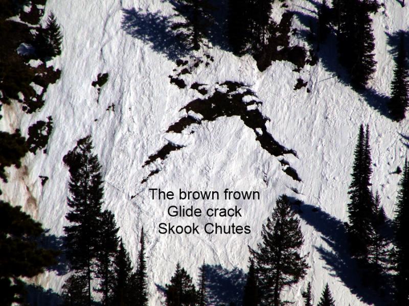
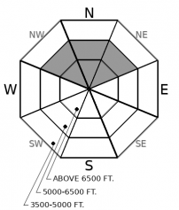
The snowpack is generally stable, thanks to a spell of relatively cool, dry weather. Wet snow avalanches may develop this afternoon on steep slopes with more than a few inches of recent snow. Avoid slopes below glide cracks.

1. Low
?
Above 6500 ft.
1. Low
?
5000-6500 ft.
1. Low
?
3500-5000 ft.
- 1. Low
- 2. Moderate
- 3. Considerable
- 4. High
- 5. Extreme
-
Type ?
-
Aspect/Elevation ?
-
Likelihood ?CertainVery LikelyLikelyPossible
 Unlikely
 -
Size ?HistoricVery LargeLargeSmall

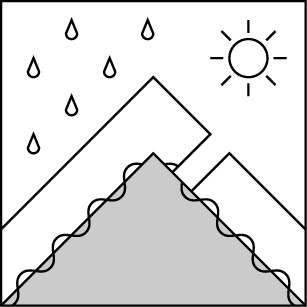
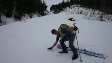
Natural and triggered rollerballs on steep slopes indicate that the potential for wet loose avalanches exists. Most triggered sluffs will be too small to be dangerous, because new snow over the past few days has been minimal. The exceptions are slopes where more than about 6 inches of snow has accumulated in the past week. Look for these special cases in the northern end of the Whitefish Range, portions of the Swan and Flathead Ranges, and peaks near the Continental Divide. If pinwheels of snow are rolling downslope or the snow feels sticky and is clumping onto your boards or snowmachine, move on to slopes where the snow remains cooler.
-
Type ?
-
Aspect/Elevation ?
-
Likelihood ?CertainVery LikelyLikelyPossible
 Unlikely
 -
Size ?HistoricVery LargeLargeSmall

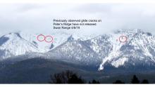
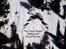
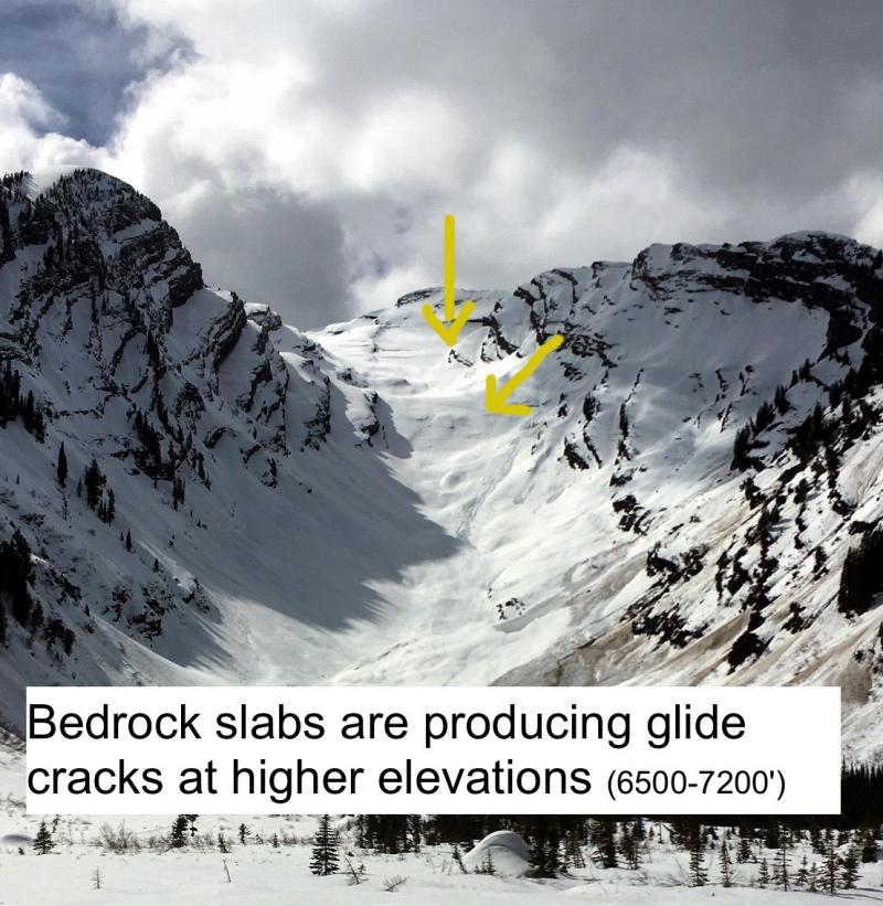
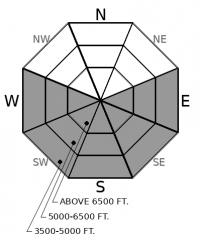
Glide cracks have formed on isolated slopes where the snowpack sits on grass or bedrock. The cracks open when the season's snowpack glides downslope, separating itself from the snow above. The slabs release when the snow supporting them fails. That's only partially related to temperatures and meltwater. The most reliable way to manage this unpredictability is to avoid slopes below open glide cracks.
With generally stable conditions like those today, staying alert for special cases is the key to riding and playing safely. Glide slabs are one such oddity, because they fail differently than any other type of avalanche. But the terrain where they pose a hazard is easy to identify: open slopes with visible cracks. Keep it simple and avoid playing below these.
While the snow surface on most slopes is getting wet during the day, the wet snow avalanche hazard is confined to slopes where the near-surface snow layers consist of dry or moist snow that can't drain water effciently. That's generally slopes where the surface snow is recent. Meltwater saturates this snow, the snow loses cohesion, and natural or triggered wet loose avalanches become possible. Rollerballs are a visual clue to these conditions, particularly pinwheels that grow as they tumble downslope. Conditions like these are mostly isolated to parts of the forecast region where more than a few inches of new snow has accumulated in the past week. Among them are the far northern end of the Whitefish Range and peaks near the Continental Divide. Both areas may have picked up 3-5 inches of new snow since Sunday. In portions of the Swan and Flathead Ranges, people have reported 6 to 12 inches of recent snow on northerly terrain. On steep, shaded, mid- and upper elevation slopes, you can still trigger wet snow avalanches large enough to knock you off your feet or push you around.
Conditions may get more complex tomorrow, if snow showers and moderate but gusty southwest winds arrive as forecast. New and drifted snow may not bond well to the icy crusts or weak snow at the snow surface today. Be alert for developing loose snow or wind slab avalanche problems if more than a few inches of snow accumulate.
EDUCATION: The Scoop on Spring Touring: Curious about spring snow and safe travel techniques? This is the talk for you. Join FAC Lead Forecaster Blase Reardon for a FREE one hour talk on spring conditions in the Flathead. The talk begins at 6:30 p.m. Thursday, April 11th at Rocky Mountain Outfitters in Kalispell. That evening is also a community night for the Friends of the Flathead Avalanche Center at Sweet Peaks in Kalispell. Stop by for a sweet treat and then head down the street to get the scoop on spring conditions.
Expect a warmer afternoon, with a mix of sun and clouds and light but gusty northeasterly winds. A shortwave Wednesday brings snow and rain showers, with moderate southerly winds.
This forecast applies only to backcountry areas outside established ski area boundaries. The forecast describes general avalanche conditions and local variations always occur. This forecast expires at midnight on the posted day unless otherwise noted. The information in this forecast is provided by the USDA Forest Service who is solely responsible for its content.


