| Sunday | Sunday Night | Monday | |
|---|---|---|---|
| Cloud Cover: | Mostly Cloudy | Partly Cloudy | Partly Cloudy |
| Temperatures: | 23 to 29 deg. F. | 15 to 18 deg. F. | 22 to 27 deg. F. |
| Wind Direction: | West | Northwest | Northwest |
| Wind Speed: | 16G32 | 15G29 | 11G22 |
| Snowfall: | 2" to 3" in. | 0" in. | 0" in. |
| Snow Line: | 3000' | 2500' | 1500' |
Swan Range
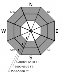
How to read the forecast
Due to an overproducing storm, we have reissued the Swan forecast. Anticipate thin slabs forming throughout the day. These will be thicker and more widespread as you gain elevation, especially on leeward slopes. You can still trigger a weak layer buried 1-3 feet below the surface in areas not capped by a thick crust. In these areas, choose lower-angled, planar terrain. Finish your weekend off in style by steering around slopes harboring dense snow that cracks around you.

3. Considerable
?
Above 6500 ft.
2. Moderate
?
5000-6500 ft.
1. Low
?
3500-5000 ft.
- 1. Low
- 2. Moderate
- 3. Considerable
- 4. High
- 5. Extreme
-
Type ?
-
Aspect/Elevation ?

-
Likelihood ?CertainVery LikelyLikelyPossible
 Unlikely
 -
Size ?HistoricVery LargeLargeSmall

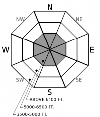
Snow, not rain, arrived this morning and will continue through the day. The white stuff is falling either on crusts or a thin layer of faceted snow capping a crust, which could inhibit bonding and allow slabs to run further than expected. Thin slabs may form and thicken through the day, especially in leeward terrain. As you gain elevation, monitor new snow totals and look for blowing snow. Utilize hand pits and test slopes to determine how well the fresh snow is bonding to the firm layer underneath. Cracking is feedback that you have found a reactive slab and should choose lower angle slopes. Sheltered terrain will offer a less cohesive snow surface.
-
Type ?
-
Aspect/Elevation ?
-
Likelihood ?CertainVery LikelyLikelyPossible
 Unlikely
 -
Size ?HistoricVery LargeLargeSmall

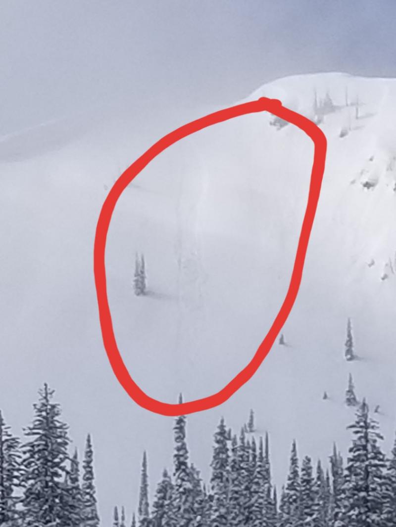
This week's Pineapple Express left a widespread thick, hard crust that ruined the riding and is acting as a bridge across our snowpack. The silver lining is that it has diminished the hazard posed by our Persistent Slab problem in these areas. Above treeline, the crust is not as widespread, and these are the areas where you can impact buried weak layers. We are monitoring two buried surface hoar layers, one which is about a foot below the surface while the other is 2-3 feet down. Snowpit tests reveal this layer in the pit wall and in propagating results. If you're not interested in digging, sticking to slopes less than 35 degrees that are free of convexities is a wise choice.
-
Type ?
-
Aspect/Elevation ?
-
Likelihood ?CertainVery LikelyLikelyPossible
 Unlikely
 -
Size ?HistoricVery LargeLargeSmall

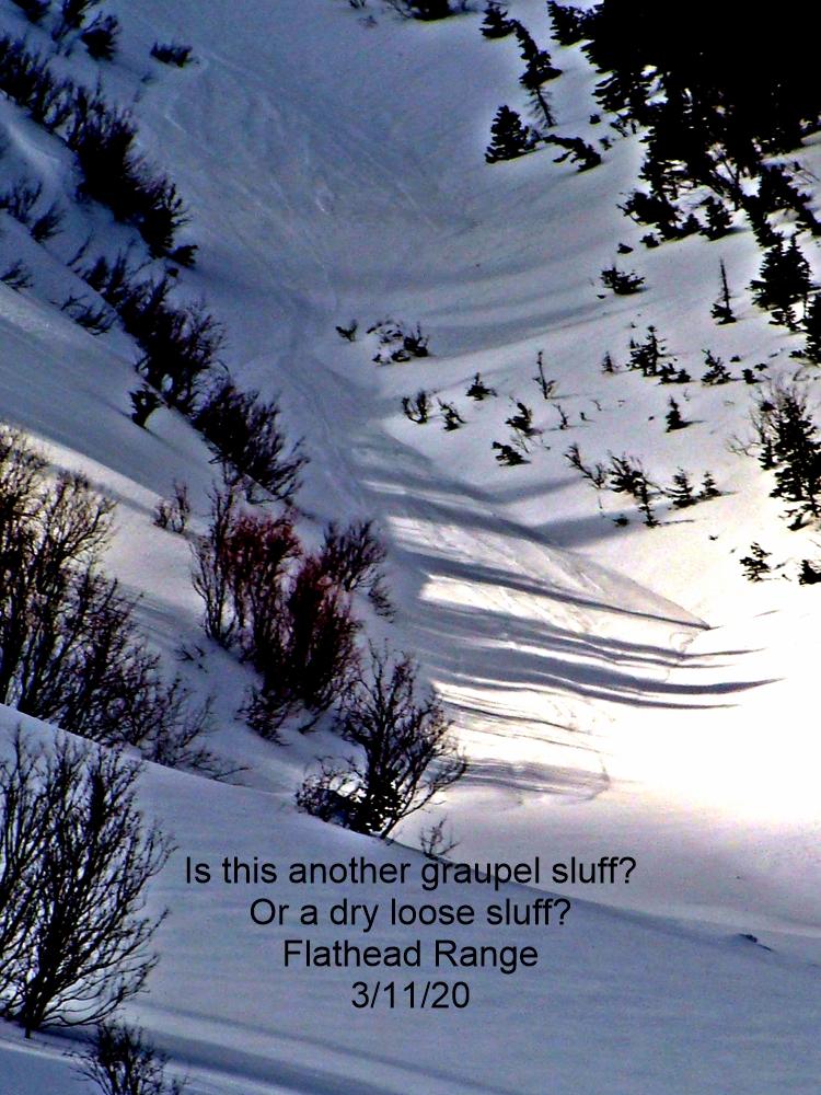
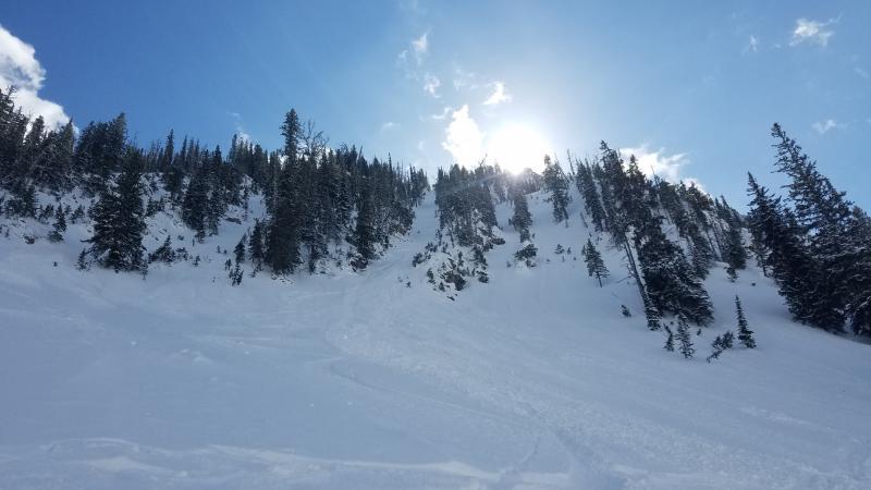
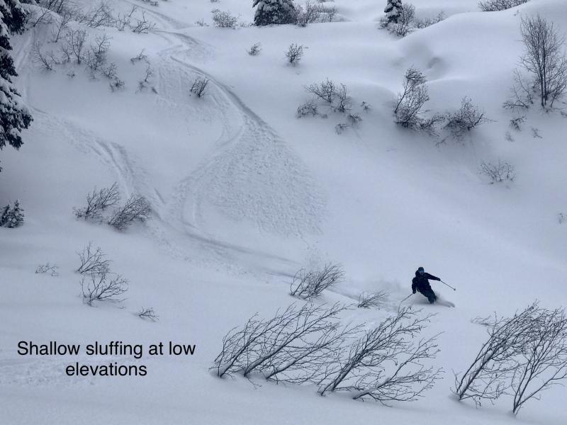
Does anyone remember dry snow sluffs? Today's fresh snow will be surprisingly low-density than what we have witnessed recently. Triggered loose slides may run long distances as the new snow piles up on top of a firm crust. Manage your sluff! In steep terrain, anticipate these by planning your escape route or intentionally releasing these from a safe location. Staying off slopes directly above a terrain trap where these small slides can pile up deep is always good practice.
Winter-like weather makes a return to the Flathead with several inches of low-density powder, cool temperatures, and breezy conditions. At most low- and mid-elevations, along with isolated upper elevations, snow will fall on crusts or a thin layer of faceted snow capping a crust. Poor bonding may result in triggered sluffs or thin slabs, which, on sustained steep slopes, can run surprisingly long distances due to the slick bed surface. These will be mostly harmless in the Flathead Range, where modest snow totals are forecast. We anticipate higher snow amounts in the Swan Range and have moved storm slab to our number one concern in this range.
Riders are experiencing challenging riding conditions Post Pineapple Express (the other type of PPE). Instead of sticking to your standard mid-season game plan, maybe now is a good time to mix it up. Current conditions are downright hazardous on some slopes, and selecting terrain to minimize the risk of getting injured on the ascent or descent should be weighed. There is value in comparing risk vs. reward in all walks of life, and riding in conditions like ours accentuates that comparison. If you choose the risk, do you have a safety plan to understand what you will do if something goes wrong? Can you self-rescue and self-evacuate? What is in your pack’s first aid kit, and do you know how to use those items? Is your equipment, like many, missing essential items? Can you fabricate a rescue sled out of the gear you are carrying? If not, how will you get someone out of the backcountry who cannot ski or ride? When bad luck strikes and you do require a rescue, how will you communicate your needs to a rescue organization? Will you be able to keep your partner and/or yourself from becoming hypothermic while awaiting help?
For most of us, these questions sound a bit daunting. Perhaps now is an excellent time to improve a skill set besides our riding skills. FAC staff is required to practice with avalanche beacons once a month. When did you last practice? Do you know there is a beacon park, open to the public, at the top of WMR? Have you assembled your probe and shovel, making sure that everything is in tip-top shape?
When was your last first aid class? If it has been a while, consider what resources you need to refresh your skills. This could be as simple as talking through medical scenarios with a friend, taking an online course, or attending training sessions offered within our community.
While we wait for better conditions, take advantage of this time to work with maps of future trips. The possibilities are endless. The backcountry community thanks you for being better prepared.
For a seasonal summary of chapter 1 see here.
Winter returns for the day with cool temperatures, fresh snow, and breezy conditions. Drier weather is on tap for tomorrow.
This forecast applies only to backcountry areas outside established ski area boundaries. The forecast describes general avalanche conditions and local variations always occur. This forecast expires at midnight on the posted day unless otherwise noted. The information in this forecast is provided by the USDA Forest Service who is solely responsible for its content.


