| Thursday | Thursday Night | Friday | |
|---|---|---|---|
| Cloud Cover: | Partly Cloudy | Partly Cloudy | Mostly Cloudy |
| Temperatures: | 36 to 41 deg. F. | 25 to 30 deg. F. | 34 to 39 deg. F. |
| Wind Direction: | Southwest | Southwest | Southwest |
| Wind Speed: | 5 to 15, G25 | 5 to 15, G25 | 5 to 15, G25 |
| Snowfall: | 0" in. | 0" in. | 0 to 1" in. |
| Snow Line: | 2500' | 4500' | 4500' |
Whitefish Range
Swan Range
How to read the forecast
The avalanche danger will rise to Moderate as unusually warm weather will increase the chances of large cornice falls. Reduce your exposure below cornices as temperatures climb. If you see active rollerballs or pinwheels, move to colder snow for safer, higher quality riding.

2. Moderate
?
Above 6500 ft.
1. Low
?
5000-6500 ft.
1. Low
?
3500-5000 ft.
- 1. Low
- 2. Moderate
- 3. Considerable
- 4. High
- 5. Extreme
-
Type ?
-
Aspect/Elevation ?
-
Likelihood ?CertainVery LikelyLikelyPossible
 Unlikely
 -
Size ?HistoricVery LargeLargeSmall

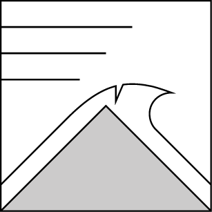
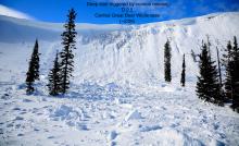
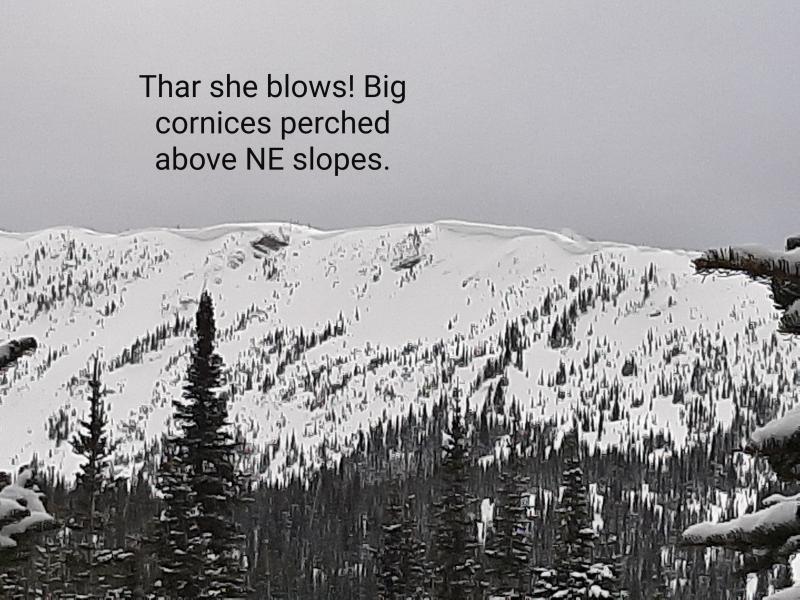
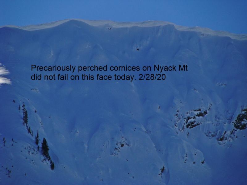
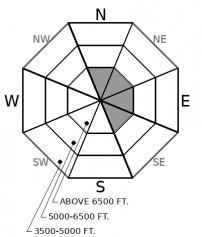
Cornices have grown to large, dangerous sizes this season. Today's warm weather will increase the chances of cornice falls: van-sized chunks of snow trundling off of their perches near wind-exposed ridgelines. Give cornices a wide berth, both below and adjacent to them, especially as temperatures heat up this afternoon. Cornices are notorious for breaking further onto ridgelines than expected.
-
Type ?
-
Aspect/Elevation ?

-
Likelihood ?CertainVery LikelyLikelyPossible
 Unlikely
 -
Size ?HistoricVery LargeLargeSmall

The snow surface will get wet today with warm temperatures. In isolated areas, the snow surface may become unstable and produce shallow loose wet avalanches. These wet goobers can plow you off your feet and drag you into a tree or push you over a rock band. Pay attention to the snow surface. If the snow starts to rollerball, pinwheel, or produce natural sluffs, seek out colder snow or lower angle terrain to avoid the problem.
Yesterday’s headline was wind. Today’s headline is warm. Both have left us with a unique set of problems.
The Wind: Southwesterly winds were blasting up to 80 mph yesterday. For better or worse, the forecasted snowfall didn’t come to fruition, which limited snow available for transport. The most active wind loading yesterday was at the highest elevations: namely the peaks of the Flathead Range and Glacier Park. The resulting wind slabs are the type I don’t like to mess with: hard, dense, and unpredictable. They won’t be easy to trigger, but they also won’t be easy to escape from either. While the problem is most pronounced at high elevations in the Park and Flathead Range, you might find a few smaller wind slabs lurking elsewhere.
The Warm: Another springlike day is in store. Warm, lots of sunshine. Yep, you've heard it before - this isn’t the first warmup and our snowpack can handle it. The biggest concern is the continued threat of cornice falls, and in isolated areas of the Flathead and Park, the potential for a larger deep slab or wind slab release. A lack of recent snowfall and yesterday’s wind blast have left us with a mix of crusty or wind hardened surfaces. We don’t expect these surfaces to react dramatically to today’s warmup. Soft snow that warms up will be most reactive; this could happen on sheltered northerly aspects if we get enough cloud cover for greenhousing. If surfaces crusts thaw into slushy snow on south aspects, this can also produce loose wet avalanches. Monitor the snow surface and you can easily manage this problem.
A high pressure ridge is moving overhead today, bringing another beautiful, yet unseasonably warm, spring-like day. We are expecting thin, high clouds, light winds, and mountain temperatures to rise towards 40 degrees. The sunny weather is shortlived, tomorrow brings more clouds with a chance for rain and snow showers. Saturday's cold front looks like our best chance at accumulating snowfall.
This forecast applies only to backcountry areas outside established ski area boundaries. The forecast describes general avalanche conditions and local variations always occur. This forecast expires at midnight on the posted day unless otherwise noted. The information in this forecast is provided by the USDA Forest Service who is solely responsible for its content.


