| Tuesday | Tuesday Night | Wednesday | |
|---|---|---|---|
| Cloud Cover: | Mostly Cloudy | Mostly Cloudy | Mostly Cloudy |
| Temperatures: | 21 to 28 deg. F. | 15 to 19 deg. F. | 25 to 32 deg. F. |
| Wind Direction: | West | Southwest | Southwest |
| Wind Speed: | 11G24 | 14G24 | 13G24 |
| Snowfall: | 0" in. | 0" in. | 0" in. |
| Snow Line: | 1000' | 2000' | 2000' |
Whitefish Range
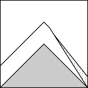
How to read the forecast
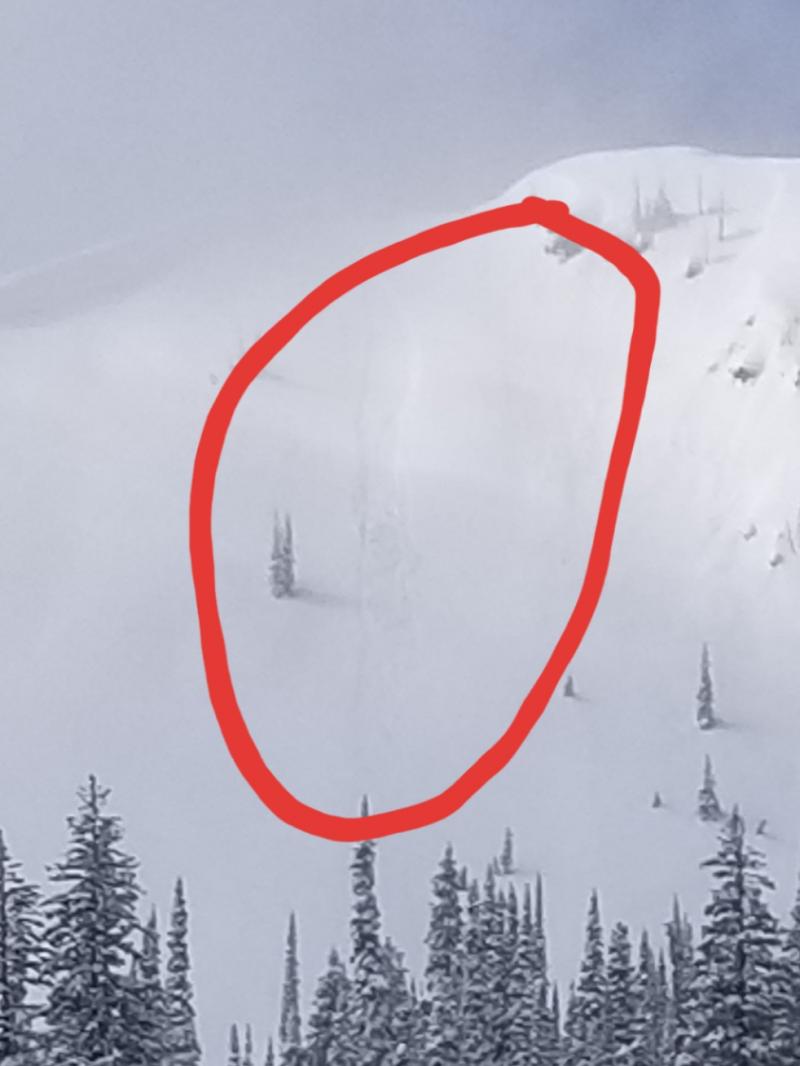
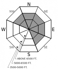
Increasing ridgetop winds will have ample new snow to transport onto leeward slopes. Recent and developing wind slabs will rest on a variety of surfaces, including persistent weak layers. They will be most sensitive where those weak layers were preserved prior to the storm – on sheltered, northerly slopes. Loose snow will sluff on very steep slopes. Sunshine could increase the potential for sluffs on solar aspects.

2. Moderate
?
Above 6500 ft.
2. Moderate
?
5000-6500 ft.
1. Low
?
3500-5000 ft.
- 1. Low
- 2. Moderate
- 3. Considerable
- 4. High
- 5. Extreme
-
Type ?
-
Aspect/Elevation ?
-
Likelihood ?CertainVery LikelyLikelyPossible
 Unlikely
 -
Size ?HistoricVery LargeLargeSmall

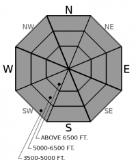
Southwest winds increase again at upper elevations into this afternoon continuing to drift recent snow into cohesive slabs on leeward terrain features. Surface hoar and weak facets buried below these wind slabs makes the problem particularly scary. Skiers near Big Mountain triggered touchy wind slabs on Monday where the slabs had formed over surface hoar. The potential for buried weak layers mean that you may be able to trigger slabs from their margins. They could break above you or from nearby, sheltered slopes. That means you need to give drifts an even bigger margin than usual. Watch for rounded drifts and blowing snow below ridgelines and on the sidewalls of chutes, then take a big step back from that terrain.
-
Type ?
-
Aspect/Elevation ?
-
Likelihood ?CertainVery LikelyLikelyPossible
 Unlikely
 -
Size ?HistoricVery LargeLargeSmall

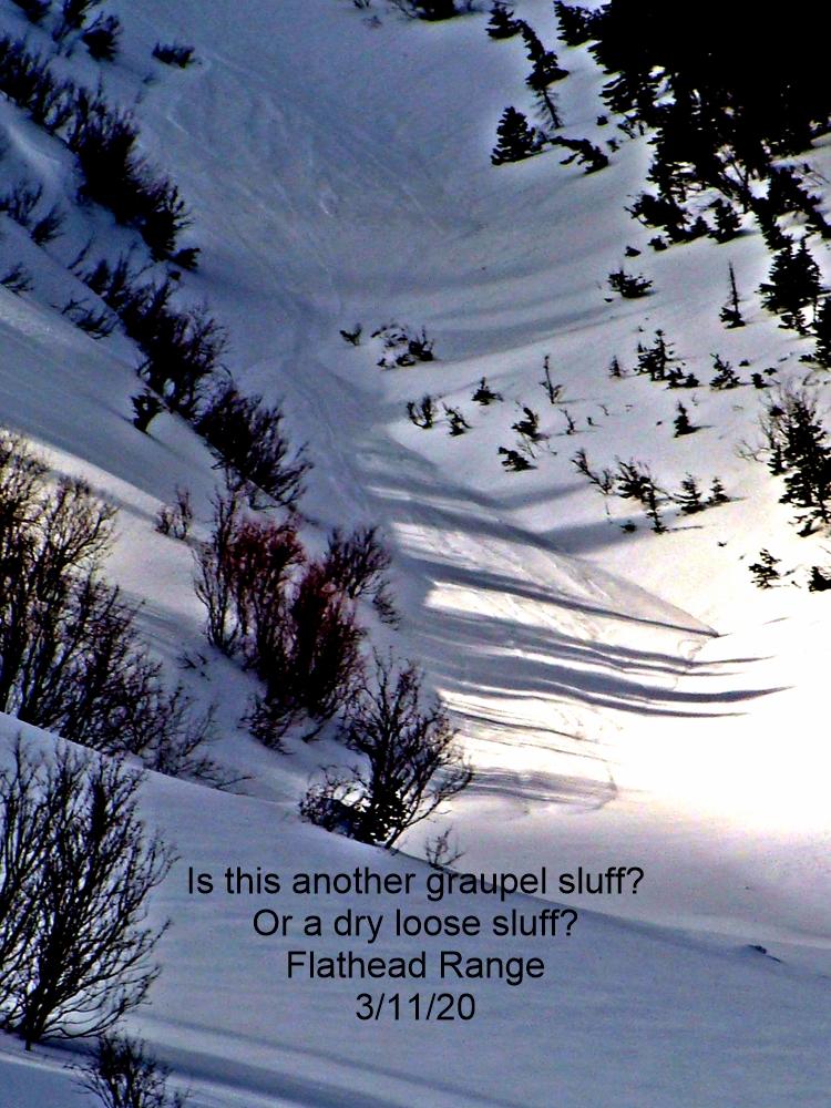
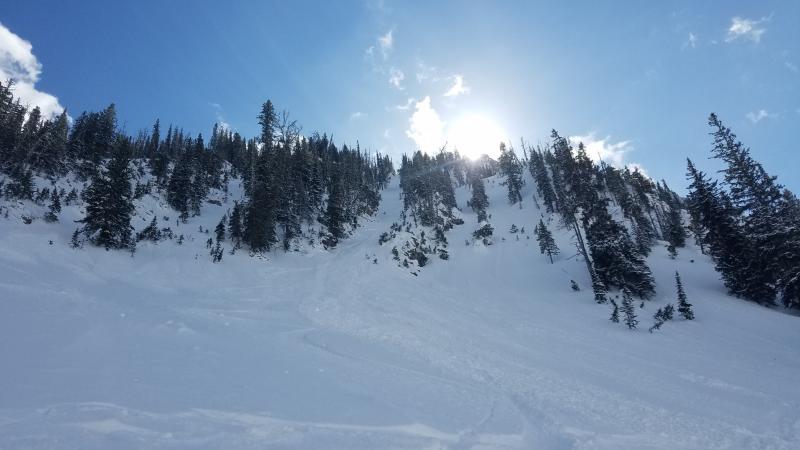
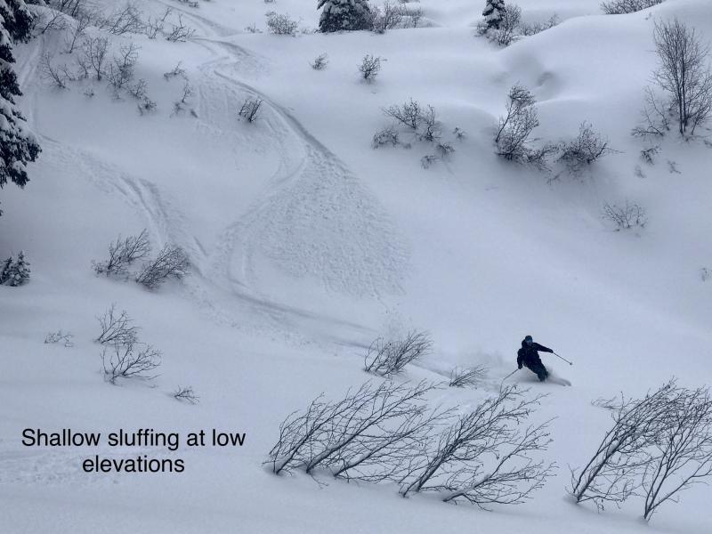
The only reports we have from yesterday mention sluffing in the soft new snow. After a little more snow overnight, the problem will continue today. Sluffs will be most dangerous where the new snow is deepest – at higher elevations and in the Swan Range. If the sun comes out today the problem will become more sensitive on solar aspects where the new snow may get moist and slide on buried crusts. Be extra cautious of very steep slopes with terrain traps below and confined chutes where you can’t escape your sluff.
Seems like the party ended as soon as it started. About 36 hours of heavy snowfall has left Noisy Basin with 16 inches of new snow and 1.9 inches of SWE. Flattop Mountain picked up a foot of snow and 1.3 inches of water. Snow depths at the Stahl Peak SNOTEL increased by 10 inches of snow and 1.3 inches SWE. The taps closed around midnight and now we all have to deal with the hangover.
Today will be relatively mild compared to the recent surge in snowfall. Except for some sun here and there, and ridgetop winds, we can expect nothing more interesting than a few flurries. However. However, the new snow will need time to adjust. We have limited data on how the new snow is reacting. Yesterday, I got a few notes about sluffing in the Middle Fork and we received one official observation of similar conditions near Big Mountain.
I hate to be a party pooper, but with limited information I’ll be sticking to what I know: lots of new snow just fell over a short period of time. Storm instabilities may take a day or two to stabilize. As the new loading began, we got reports of surface hoar and weak faceted snow getting buried in Canyon Creek and the southern Flathead Range. Those persistent weak layers were preserved on sheltered, northerly areas near typically wind loaded slopes. In some cases, wind slabs developed over the surface hoar created a sensitive avalanche problem. I have more uncertainty about whether we have this type of setup in the Swan and northern Whitefish ranges. I’ll be treating slope as if they have the offending weak layers until proven otherwise.
Looking through the weather today, ridgetop wind may be enough to transport light new snow onto leeward slopes, adding to the wind slabs that formed yesterday. The sun may burn its way through the clouds sporadically, which could warm the fluffy new snow and trigger natural sluffs. Temperatures may climb above freezing at lower elevations, causing sluffs to become heavier and wetter.
As the captain of the fun police, I’m expecting the threat of storm slabs to continue today where the most new snow has accumulated, most commonly in the Swan Range. Recent and developing winds slabs should also be sensitive, especially where they formed on buried weak layers. Sluffs could grow quite large where the new, cohesionless snow begins to slide above buried sun crusts. Use caution as you head out into the mountains. The storm may be over, but don’t ignore the aftermath.
A ridge of high pressure to our west will be the dominant weather feature this week. A little moisture will move through the ridge today allowing for a few light snow showers. Winds increase ahead of a shortwave trough that sneaks through tomorrow. We can expect a litte more snow with that distrubance before full on high pressure with clearing skies and warm temperatures builds in by the end of the week.
This forecast applies only to backcountry areas outside established ski area boundaries. The forecast describes general avalanche conditions and local variations always occur. This forecast expires at midnight on the posted day unless otherwise noted. The information in this forecast is provided by the USDA Forest Service who is solely responsible for its content.


