| Sunday | Sunday Night | Monday | |
|---|---|---|---|
| Cloud Cover: | Mostly Cloudy | Mostly Cloudy | Mostly Cloudy |
| Temperatures: | 22 to 29 deg. F. | 10 to 14 deg. F. | 19 to 26 deg. F. |
| Wind Direction: | Southwest | West | West |
| Wind Speed: | 16G29 | 12G23 | 10 |
| Snowfall: | 1" to 2" in. | 1" to 3" in. | 0" in. |
| Snow Line: | 2000' | 1000' | 500' |
Whitefish Range
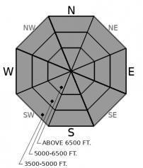
How to read the forecast
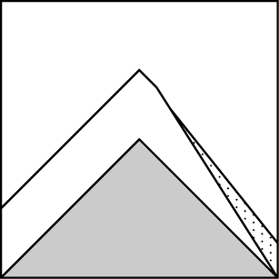
You can manage the risk of fresh wind slabs by avoiding steep leeward slopes. If you want to step out, start small and use safe test slopes before venturing onto steep, open terrain. Watch for rounded drifts below ridgelines and the sidewalls of gullies. Signs of danger include shooting cracks in drifted snow and long running sluffs. In sheltered terrain, sluffs may entrain large amounts of snow and pile up pile up in terrain traps.

2. Moderate
?
Above 6500 ft.
2. Moderate
?
5000-6500 ft.
1. Low
?
3500-5000 ft.
- 1. Low
- 2. Moderate
- 3. Considerable
- 4. High
- 5. Extreme
-
Type ?
-
Aspect/Elevation ?
-
Likelihood ?CertainVery LikelyLikelyPossible
 Unlikely
 -
Size ?HistoricVery LargeLargeSmall

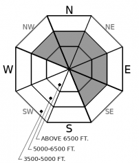
Southwest winds have been steady in the northern Whitefish Range. That’s also where the most new snow has accumulated in the past few days. You can get into trouble on steep leeward terrain and on wind-loaded slopes above terrain traps. Watch for rounded drifts below ridgelines and on the sidewalls of chutes. Steer away from steep, leeward slopes below fresh cornices. Small test slopes that crack under your boards or machine are a clue that you should avoid bigger wind loaded terrain.
-
Type ?
-
Aspect/Elevation ?
-
Likelihood ?CertainVery LikelyLikelyPossible
 Unlikely
 -
Size ?HistoricVery LargeLargeSmall

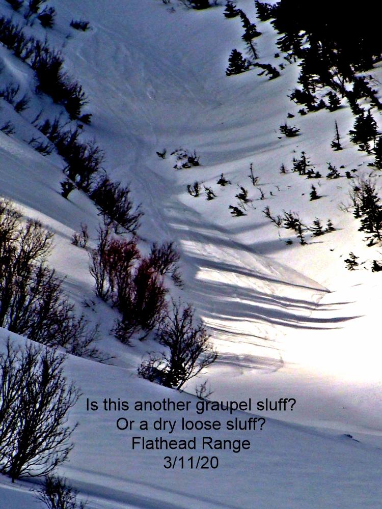
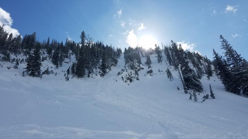
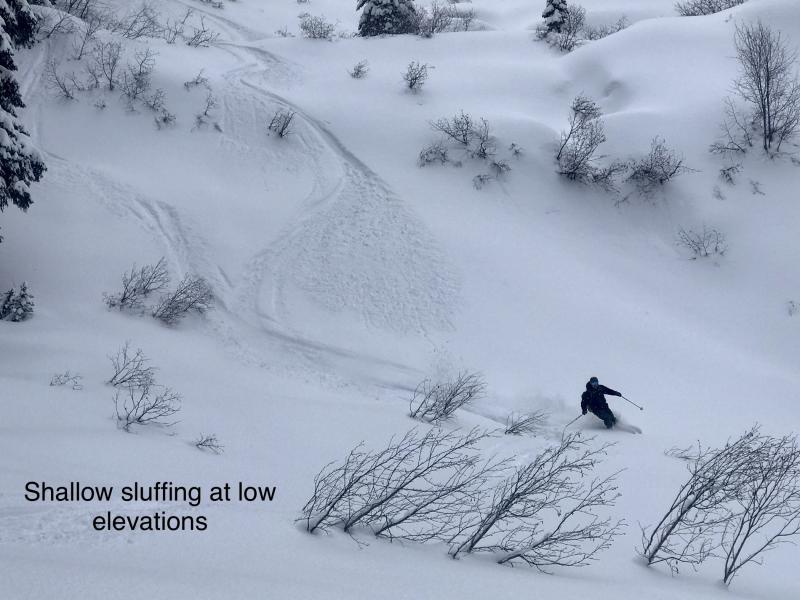
Loose dry avalanches will be most dangerous where more snow has accumulated – in the northern part of the range - and above terrain traps where debris can pile up deeply. Avoid steep, confined terrain where you can’t escape your sluff. Watch for loose fanning out and running down above you on very steep slopes.
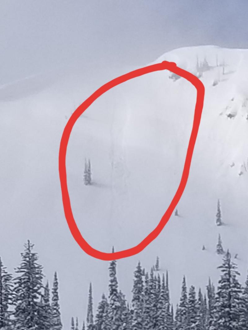
Observers across the region reported all the signs of growing wind slabs yesterday. Big cornices got bigger. Moderate southwest winds built reactive new drifts below ridglines. We triggered wind slabs, new and old, in the Swan Range. Shooting cracks were a common occurrence along the crest of the Apgars. Though new slabs were small Saturday, the winds maintained their steady howl through about midnight. Moderate to heavy snowfall began yesterday afternoon and continued into the early hours this morning. Today, be especially alert for signs of instability and danger in areas prone to collecting drifted snow. The combination of recently-formed wind slabs and stiffening of today's new snow by wind will make this terrain the most likely spots for finding trouble.
In sheltered areas, today's light to moderate snowfall will accumulate on a variety of snow surfaces, including low density snow that sluffed Saturday in sheltered areas. New snow will also cover rime crusts and wind board on windward slopes, and leftover hard wind slabs near ridgelines. Below the snow surface, two crusts from early February are separated a few inches of soft, weak snow. Where the upper crust from 2/5 is thinnest, slabs could break between the crusts and propagate further than expected. This variability makes it important to assess slope-specific conditions before stepping out into consequential terrain.
Northwest flow continues across the region. Light to moderate snow showers are expected ahead of an appriaching cold front forecast to pass overhead this afternoon. The heaviest snowfall thus far has been in Glacier Park. The Swan Range looks favored today. Temperatures remain seasonable and steady. Winds will be less than yesterday, but gusty at ridgetops. Snowfall tapers into the early week as high pressure settles in by Wednesday.
This forecast applies only to backcountry areas outside established ski area boundaries. The forecast describes general avalanche conditions and local variations always occur. This forecast expires at midnight on the posted day unless otherwise noted. The information in this forecast is provided by the USDA Forest Service who is solely responsible for its content.


