| Saturday | Saturday Night | Sunday | |
|---|---|---|---|
| Cloud Cover: | Mostly Cloudy | Mostly Cloudy | Mostly Cloudy |
| Temperatures: | 22 to 29 deg. F. | 17 to 21 deg. F. | 23 to 29 deg. F. |
| Wind Direction: | Southwest | Southwest | Southwest |
| Wind Speed: | 15 to 20, gusting to 35 | 15 to 20, gusting to 30 | 10 to 15, gusting to 25 |
| Snowfall: | 3" to 4" in. | 4" to 5" in. | 1" to 3" in. |
| Snow Line: | 1500' | 2500' | 1500' |
Whitefish Range
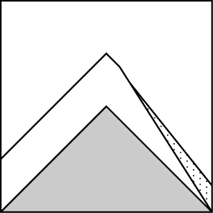
How to read the forecast
Sticking to slopes sheltered from the wind will get you good riding and reduce your risk of triggering slabs of drifted snow that break 1 to 2 feet deep. Near ridges and peaks, these will be larger and more likely to bury or injure a rider. On very steep slopes with loose dry snow near the surface, triggering sluffs above a gully, trees, or a cliff may get you into trouble.

2. Moderate
?
Above 6500 ft.
1. Low
?
5000-6500 ft.
1. Low
?
3500-5000 ft.
- 1. Low
- 2. Moderate
- 3. Considerable
- 4. High
- 5. Extreme
-
Type ?
-
Aspect/Elevation ?
-
Likelihood ?CertainVery LikelyLikelyPossible
 Unlikely
 -
Size ?HistoricVery LargeLargeSmall

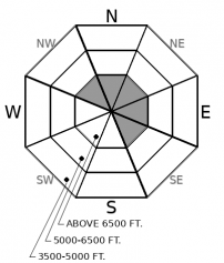
Recently-formed slabs of drifted snow pose the greatest danger today. These are most common on the lee sides of ridges at mid and upper elevations, though gusty winds may have built some pillows in gullies and crossloaded steep slopes below rockbands and in open bowls. These slabs are growing harder as winds continue, making them more likely to break above a rider. Cornices are also growing larger and more fragile, making them a hazard in themselves and potential triggers for natural avalanches. Avoid slopes steeper than about 35 degrees with dense, hollow-feeling snow at or near the snow surface. Move out from under steep start zones where you see blowing and swirling snow. Cracks around your skis and boards are clear signs of sensitive slabs of drifted snow.
-
Type ?
-
Aspect/Elevation ?
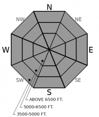
-
Likelihood ?CertainVery LikelyLikelyPossible
 Unlikely
 -
Size ?HistoricVery LargeLargeSmall

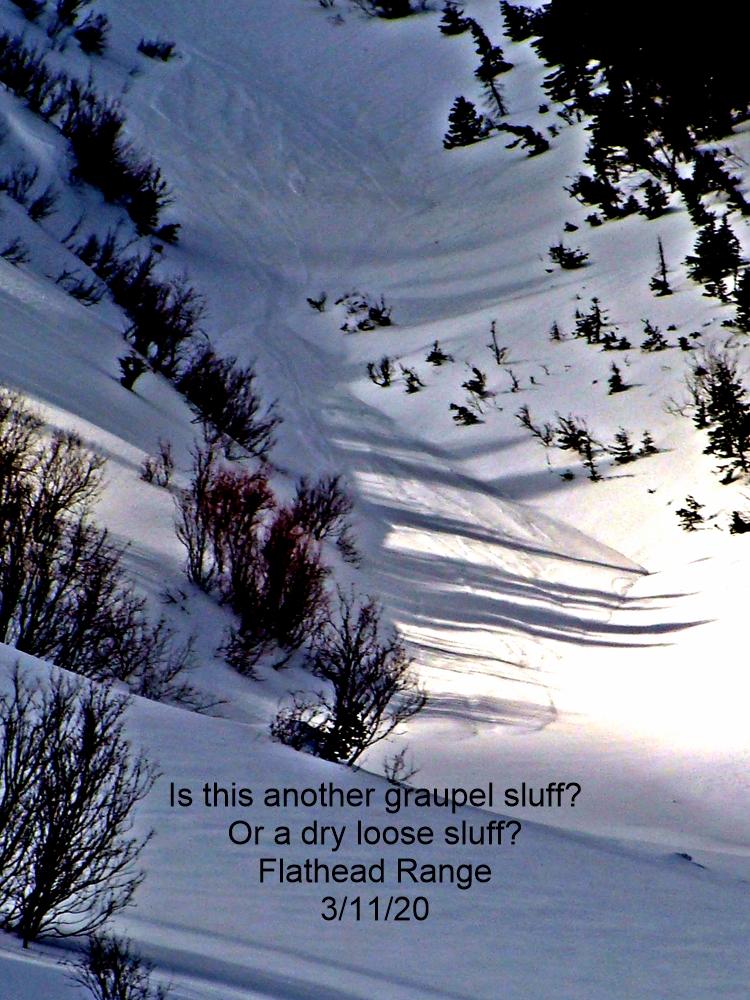
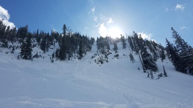
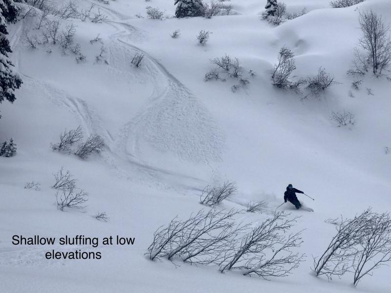
On slopes where southwesterly winds haven't packed the snow surface into crusts or slabs, sluffs of cohesionless dry snow pose a growing hazard today. They'll be largest where there's more than about 8 inches of cohesionless new and old snow. They can run faster and further on slopes with continuously steep pitches. They can turn from nuisance to nasty if they push you into or over a terrain trap.
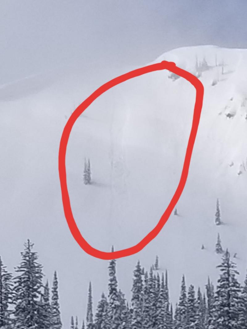
Overpromised, under delivered - never fun, especially on Valentine's Day. Reports were full of romance-related jokes and puns Friday, mostly because snowfall didn't match forecast totals. Accumulations in the past 36 hours are 1 to 6 inches, with the Stevens Canyon/ Skyland area getting the most love. Accompanying the snow were moderate to strong southwesterly winds. These drifted snow and built cornices near ridges. Observers and forecasters described a few shooting cracks and small, triggered avalanches, mostly near ridges at upper elevations. With continued winds today and a few more inches of snow, slabs of drifted snow should get thicker, wider, and more widespread, though sun crusts from Thursday on windward slopes should limit the amount of snow available for transport.
Graupel made up a large portion of Friday's snowfall. Loose Dry avalanches may pose a growing hazard on wind-sheltered slopes today, as snow accumulates above the 2/13 snow surfaces - melt-freeze crusts on sunny slopes, loose dry snow on shady slopes. These may be most sensitive and run further on the crusts, but involve more snow on shady slopes.
Expect snow showers and moderate to strong southwesterly winds today as a storm approaches from the coast. The showers will intensify and become more widespread as the day progresses. Accumlations will range from 1 to 5 inches in most areas, with the most uncertainty for the Swan Range, again. The storm tonight should at least double today's accumulations, with winds continuing at moderate to strong. Snow levels remain at valley elevations throughout the period.
This forecast applies only to backcountry areas outside established ski area boundaries. The forecast describes general avalanche conditions and local variations always occur. This forecast expires at midnight on the posted day unless otherwise noted. The information in this forecast is provided by the USDA Forest Service who is solely responsible for its content.


