| Sunday | Sunday Night | Monday | |
|---|---|---|---|
| Cloud Cover: | Partly Cloudy | Mostly Cloudy | Mostly Clear |
| Temperatures: | 19 to 25 deg. F. | 8 to 11 deg. F. | 21 to 27 deg. F. |
| Wind Direction: | Southwest | West | West |
| Wind Speed: | 14G28 | 15G29 | 12G24 |
| Snowfall: | 0" in. | 0" in. | 0" in. |
| Snow Line: | 500' | 1000' | 500' |
Flathead Range and Glacier National Park
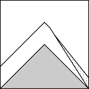
How to read the forecast
Several parties had near misses with avalanches that broke in unexpected ways yesterday. Recent storm slabs resting on top of weak layers and crusts will be slow to heal. Conservative terrain choices and low slope angles are your ticket to safe riding today. Where the surface is unconsolidated, sluffs can entrain large amounts of snow and deep debris can pile up in terrain traps. Avoid slopes with overhead exposure to alpine start zones where deep slabs are still a concern.

3. Considerable
?
Above 6500 ft.
3. Considerable
?
5000-6500 ft.
2. Moderate
?
3500-5000 ft.
- 1. Low
- 2. Moderate
- 3. Considerable
- 4. High
- 5. Extreme
-
Type ?
-
Aspect/Elevation ?

-
Likelihood ?CertainVery LikelyLikelyPossible
 Unlikely
 -
Size ?HistoricVery LargeLargeSmall

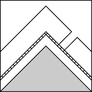
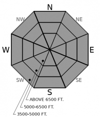
Between 8 and 12 inches of new snow with wind drifting has formed soft slabs up to several feet thick over persistent weak layers. Parties across the Swan and Flathead Ranges triggered avalanches small and large yesterday. Some of these slides released remotely, or broke above unsuspecting riders. Recent and newly drifted snow will be the densest and slabbiest. Recent natural avalanches and shooting cracks in the snow are red flags. Conservative terrain choices that steer you away from slopes steeper than about 35 degrees are the safest bet today.
-
Type ?
-
Aspect/Elevation ?
-
Likelihood ?CertainVery LikelyLikelyPossible
 Unlikely
 -
Size ?HistoricVery LargeLargeSmall

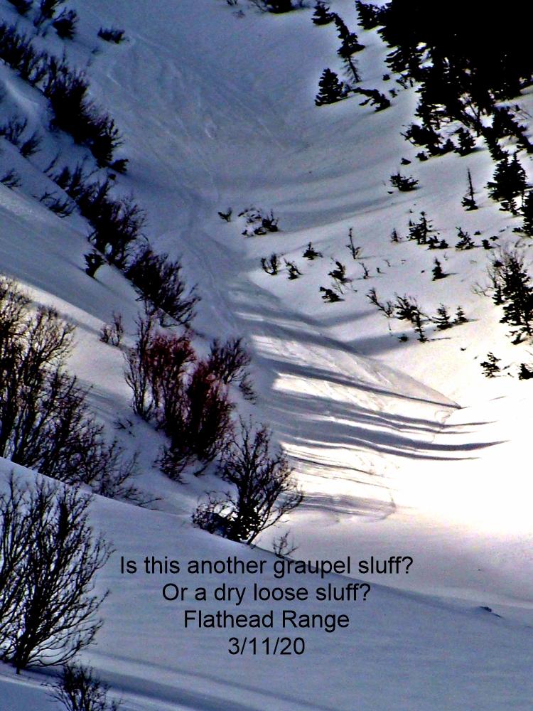
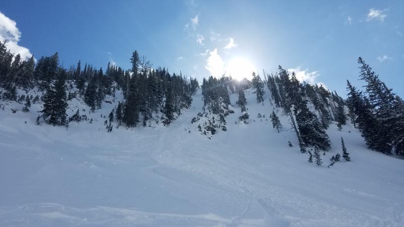
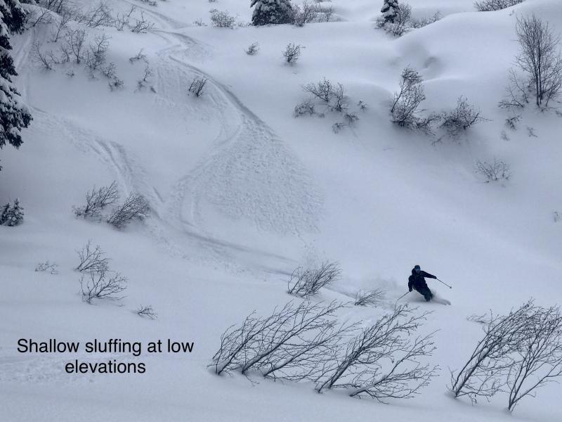
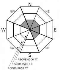
Widespread natural and triggered sluffs have been running for the past several days. As the sun comes out today, natural sluffs will be likely on solar aspects. Loose dry avalanches will be most dangerous where more snow has accumulated, and above terrain traps where debris can pile up deeply. Avoid steep, confined terrain where you can’t escape your sluff. Watch for loose snow running down above you on steep sunny slopes.
-
Type ?
-
Aspect/Elevation ?
-
Likelihood ?CertainVery LikelyLikelyPossible
 Unlikely
 -
Size ?HistoricVery LargeLargeSmall

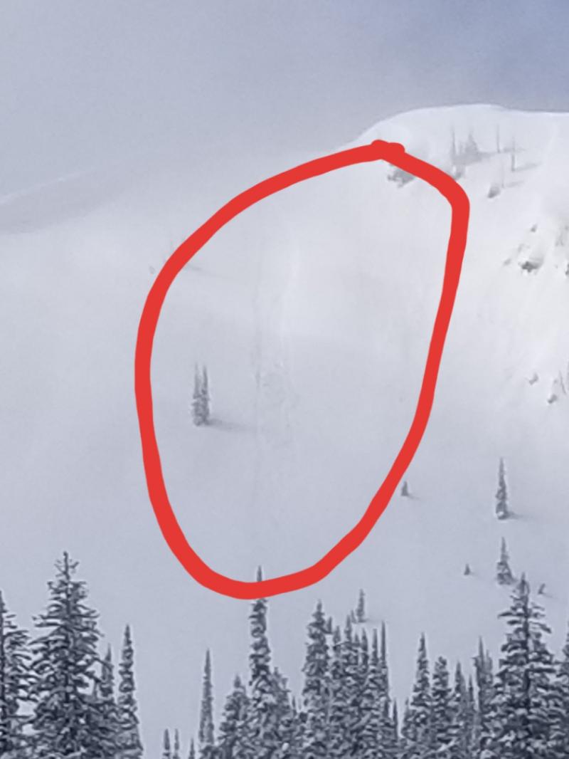
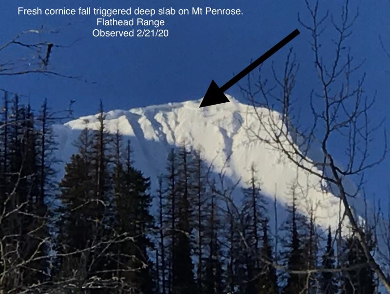
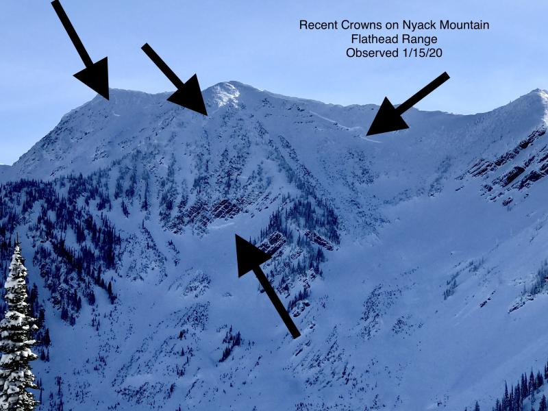
Giant avalanches ran on Mt. Grant this past weekend, and a group in the Middle Fork yesterday may have witnessed another monster slide. Let sleeping ogres lie. It remains critical to limit your exposure to steep, upper-elevation slopes that harbor weak facets and crusts near the ground. That means avoiding the runouts of these start zones. I'd also avoid being under slopes like this that have large cornices cantilevered over them, as falling cornices may be a large enough load to trigger a slide that breaks near the ground and involves the entire season's snowpack. Though unlikely, deep slab avalanches of this size would be un-survivable.
Observers reported widespread natural and human triggered storm slabs yesterday across the Swan and Flathead Ranges. Many of these slides were small, but several were large enough to bury you. Three separate parties had near misses with avalanches that broke in unexpected ways. One rider was carried and partially buried. She was able to extract herself from the debris. We have a report that very large avalanches may have run again on Mt. Grant or Liebig, similar to the destructive deep slabs that ran a week ago. Loose snow avalanches have been a common feature for several days. No one has reported avalanche activity in the Whitefish Range. However, the Stahl Peak weather station picked up 8 inches of snow while the Hornet Lookout reported continuous moderate winds, so I expect that wind slabs are reactive in parts of the range.
Snowfall exceeded 1 inch per hour in the Flathead and Swan Ranges yesterday morning. Precipitation stopped in the afternoon. Since the storm began on the evening of the 7th, Noisy Basin reported 10 inches of new snow, Stahl Peak saw 8 inches, and riders in the Flathead Ranger reported between 8 and 12 inches. Winds were moderate and shifted from southwest to north as a front dropped down from Canada in the afternoon. Soft new and windblown snow sits atop crusts and near surface facets buried at the start of the month. 5 day precipitation totals – on top of the crusts – exceed 3 inches of SWE in the Swan Range and 1 to 1.6 inches SWE in the northern Whitefish Range and Glacier Park. Slabs breaking on these new persistent weak layers caught people by surprise. Some avalanches were triggered remotely, propagated for long distances, and broke uphill of unsuspecting skiers. Winds will continue at snow-moving speeds near ridgetops today. Fresh slabs on top of persistent weak layers will be slow to heal. They can still break wider and further than expected.
With all the cohesionless snow in sheltered terrain, loose dry avalanches will still be likely in steep terrain. As the sun comes out today, solar radiation will weaken the already fragile bonds in the new snow and natural sluffs will be likely on sunny slopes. These will be more dangerous where there’s more snow at higher elevations, or above terrain traps where debris can pile up deeply.
Older, deeper, more sinister persistent weak layers lurk at the bottom of the snowpack like a monster under the bed. New loading from wind and snow has only added weight to the giant slabs on top of these weak layers. Though still unlikely, deep slab avalanches can run to lower elevations and destroy mature trees. An avalanche of that size would be un-survivable. Large cornice fall is exactly the kind of trigger that could set off another one of these monsters.
Expect clearing skies and seasonably cool temps today until a weather disturbance in Canada moves down the Divide this evening through Monday bringing more showers with it.
This forecast applies only to backcountry areas outside established ski area boundaries. The forecast describes general avalanche conditions and local variations always occur. This forecast expires at midnight on the posted day unless otherwise noted. The information in this forecast is provided by the USDA Forest Service who is solely responsible for its content.


