| Sunday | Sunday Night | Monday | |
|---|---|---|---|
| Cloud Cover: | Mostly Cloudy | Partly Cloudy | Mostly Clear |
| Temperatures: | 19 to 25 deg. F. | 8 to 13 deg. F. | 21 to 27 deg. F. |
| Wind Direction: | West | Northwest | South |
| Wind Speed: | 5 to 10 | 5 to 10 gusting to 15 | 7 to 10 gusting to 20 |
| Snowfall: | 0-1" in. | 0" in. | 0" in. |
| Snow Line: | 1500' | 1500' | 1000' |
Flathead Range and Glacier National Park
How to read the forecast
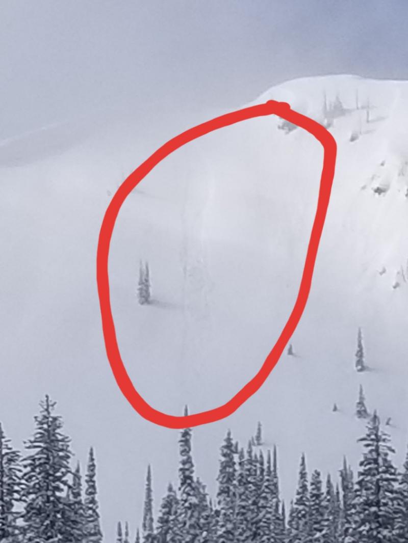
Near the crest of the Flathead Range and in the high peaks of Glacier National Park, there are still slopes where you can to trigger a slide that breaks near the ground, on facets and crusts buried in early season. In this terrain, pick your lines carefully, to avoid the slopes most likely to harbor this lingering danger. Triggered sluffs of dry, cohesionless snow can be dangerous if they sweep you into or over a terrain trap.

2. Moderate
?
Above 6500 ft.
1. Low
?
5000-6500 ft.
1. Low
?
3500-5000 ft.
- 1. Low
- 2. Moderate
- 3. Considerable
- 4. High
- 5. Extreme
-
Type ?
-
Aspect/Elevation ?

-
Likelihood ?CertainVery LikelyLikelyPossible
 Unlikely
 -
Size ?HistoricVery LargeLargeSmall

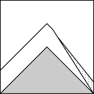
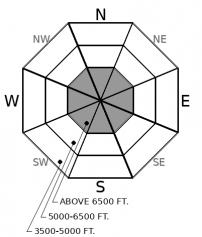
On isolated slopes, the weight of a person or snowmachine can still trigger an avalanche that breaks 2 to 4 feet deep on weak facets and crusts near the base of the snowpack. These slopes are generally above 6000 feet and near ridges or summits exposed to the wind. You can reduce your chances of stumbling into one of these booby traps by avoiding convex slopes steeper than about 35 degrees, particularly those with variable snow depths. If a slope above or below you rolls out of sight, has a snow cover that looks continuous except for a few rocks and bushes, and sits above a terrain trap, move on to terrain that's planar, sheltered from the wind, and has a clean runout.
-
Type ?
-
Aspect/Elevation ?
-
Likelihood ?CertainVery LikelyLikelyPossible
 Unlikely
 -
Size ?HistoricVery LargeLargeSmall

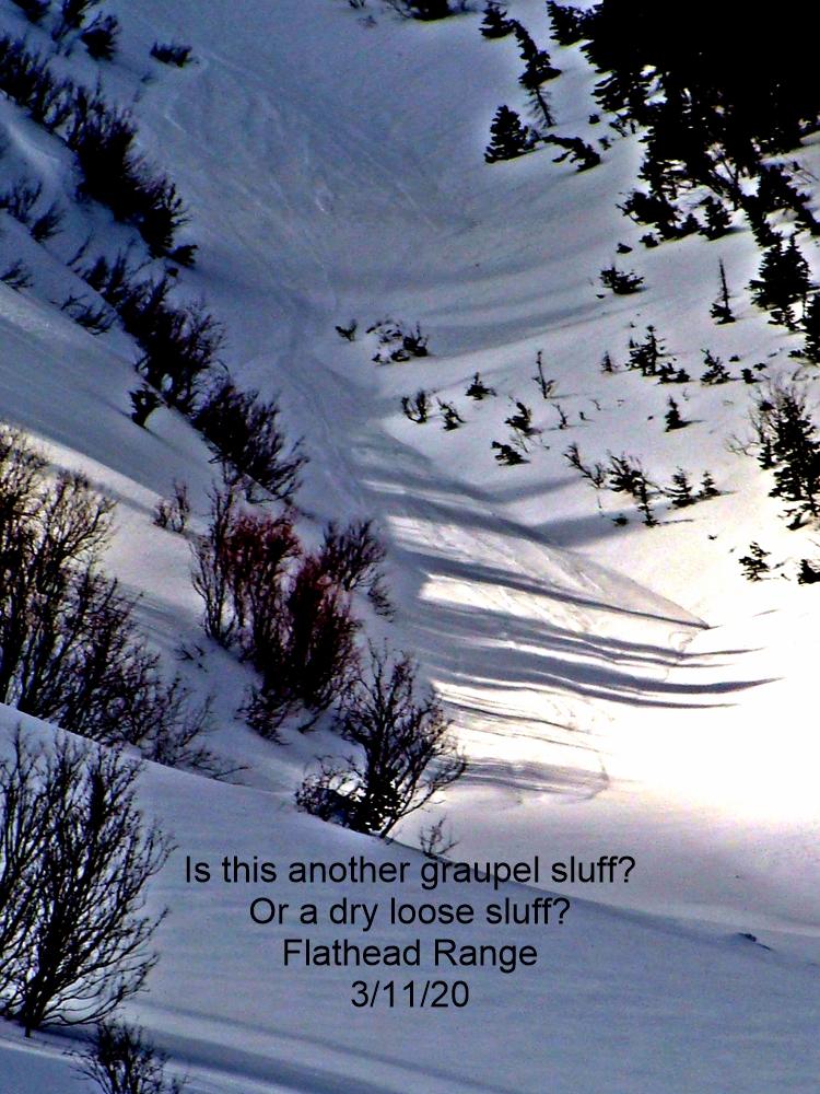
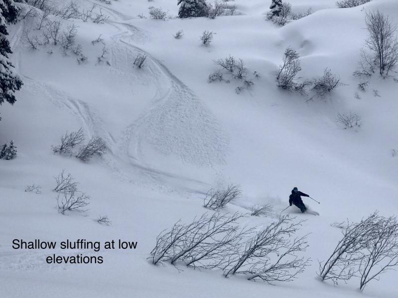
If you're lucky enough to find a slope steeper than about 35 degrees with 10 inches or more of loose, cohesionless snow at the surface, do a quick check before you drop in or carve up it. Terrain traps like gullies, trees, or cliffs below? If so, find another slope or figure out a plan for riding it that'll reduce your chances of getting knocked off your feet or snowmachine.
Someone find a wooden stake. Like some Hollywood vampire, the Nov. 19 facets and crusts just won't die. People are reporting inconsistent results from large column tests. One test in a profile propagates, the next doesn't, or a test on one slope produces propagation while a test on a nearby slope does not. That inconsistency is due to the facets rounding and gaining strength as the crust weakens and as the slab above hardens. These processes occur at different rates on different slopes. The trend is towards stability - no reports of collapses or natural avalanches in about a week, and no significant load since the Solstice storm - but the trend isn't complete.
So riding around hither and yon is a gamble, because on isolated slopes, a person or snowmachine might still trigger dangerous avalanches that break at the Nov. 19 crust. A more reliable way to avoid feeding a vampire is to avoid slopes where vampires might sleep. These are generally steeper than about 35 degrees with midslope convexities, prone to winds that leave scoured and drifted patches, marked by rocky areas or small cliffs, and sit above terrain traps like gullies. That's not many slopes below about 6000 feet. Above that elevation, you can find more, particularly near ridges and summits in the Flathead Range and Glacier National Park. This terrain tends to have larger start zones as well, so the potential size of triggered slides is larger in these areas. It's worth staying out from under terrain like this as well, as insurance against unlikely surprises.
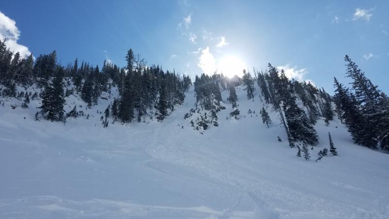
Saturday, people reported triggering small, mostly harmless sluffs involving recent low density snow in the Whitefish and Swan ranges. While these were easy to trigger, few involved enough snow to be dangerous. We had no reports describing slabs of wind-drifted snow large enough to bury or injure a person. Keep an eye out for the few exceptions - very steep slopes with more than about 10" of loose snow, or soft slabs of drifted snow about the same thickness.
Weather forecasts are calling for bouts of snow midweek and next weekend. If these materialize, expect the avalanche danger to rise.
The region will see spotty snow showers with a trace to an inch of snow accumulating through the day before skies begin clearing tonight. Winds will be light and variable in direction. Monday looks to bring a brief dose of sun before snowfall returns Tuesday and Wednesday.
This forecast applies only to backcountry areas outside established ski area boundaries. The forecast describes general avalanche conditions and local variations always occur. This forecast expires at midnight on the posted day unless otherwise noted. The information in this forecast is provided by the USDA Forest Service who is solely responsible for its content.


