| Sunday | Sunday Night | Monday | |
|---|---|---|---|
| Cloud Cover: | Mostly Cloudy | Partly Cloudy | Mostly Cloudy |
| Temperatures: | 17 to 29 deg. F. | 19 to 17 deg. F. | 15 to 28 deg. F. |
| Wind Direction: | West | West | Southwest |
| Wind Speed: | 7-12G29 | 9-15G36 | 13-20G34 |
| Snowfall: | 0 to 1 in. | 0 to 1 in. | 0 in. |
| Snow Line: | 500' | 0' | 0' |
Flathead Range and Glacier National Park
How to read the forecast
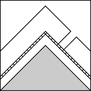
The likelihood of triggering a buried weak layer may be slowly going down, but the consequences still are very high. If you’re looking for that kind of trouble you can still find it on steep slopes with stiffer slabs over whumpfing, collapsing crusts and facets. Leeward features have the thickest, most dangerous slabs. Triggering a smaller slab could step down and cause a large, dangerous avalanche.

2. Moderate
?
Above 6500 ft.
2. Moderate
?
5000-6500 ft.
1. Low
?
3500-5000 ft.
- 1. Low
- 2. Moderate
- 3. Considerable
- 4. High
- 5. Extreme
-
Type ?
-
Aspect/Elevation ?

-
Likelihood ?CertainVery LikelyLikelyPossible
 Unlikely
 -
Size ?HistoricVery LargeLargeSmall

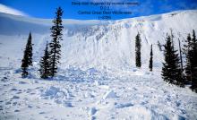
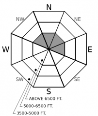
Slabs that break around crusts that formed in late October and mid-November, or surface hoar buried on 11/23 will be several feet thick. You may be able to trigger avalanches that break on these layers from a distance, from below, or from shallower, rocky areas or convexities. Shooting cracks and whumpfing collapses should direct you to lower angled terrain. If triggered, small wind slabs have the potential to step down to deeper layers causing a large and dangerous avalanche.
-
Type ?
-
Aspect/Elevation ?
-
Likelihood ?CertainVery LikelyLikelyPossible
 Unlikely
 -
Size ?HistoricVery LargeLargeSmall

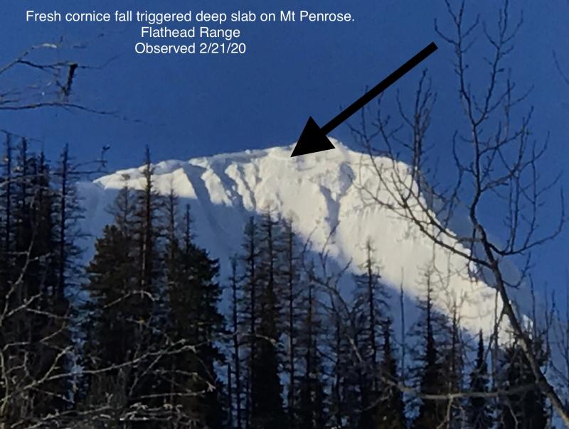
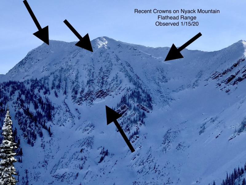
Each significant storm since November has produced large avalanches on deeply buried weak layers in Glacier Park and possibly the Flathead Range. The recent storm was the most significant by far. We have few observations recently of activity on these layers, and there is uncertainty about the likelihood of triggering them. But with Flattop Mountain receiving 1.7” of new water just a few days ago, and likely higher amounts near the Flathead crest, treat alpine terrain with a healthy dose of skepticism.
If you don’t like the weather, it’ll change – quickly. The storm that ended on Friday the 13th did a lot for our snowpack. Remote weather stations reported between 12 and 20 inches of new snow in 4 days. The overall water content jumped by 26% in Noisy Basin, 25% at Stahl Peak, and 14% at Flattop Mountain. Southwest winds accompanying the storm were enough to stiffen some of that new snow into sensitive drifts in the highest terrain. And then, yesterday, the weather quieted significantly with only a few showers and light winds. That trend is expected to continue into Monday. Storm slab and wind slab avalanche activity has reflected the change. We have limited observations in the wake of the storm, but there have been no reports of sliding storm snow since the 13th.
But while some things change, some things stay the same. Though the weather has quieted down, the bottom of the snowpack is still squawking. Parties near Canyon Creek reported unnerving whumpfs as buried weak layers collapsed across whole slopes yesterday. We have had reports of similar collapsing, and shooting cracks, from across the region since December 8th when very large avalanches failing on buried weak layers were seen in the Lake McDonald area. The weak layers of note include surface hoar found mostly in the Swan and Whitefish ranges, widespread facets around crusts and, in Glacier National Park and the Flathead Range, crusts buried in late October found near the ground. These layers seem to be slowly gaining strength. Test results have been hit and miss. But with 2 to 3 feet of newer snow resting on top of them, the consequences of triggering one of these layers is high.
Today, don’t let your guard down near ridge crests and in crossloaded terrain where you may still find stiffer, drifted slabs. If triggered, small wind slabs may step down to deeper layers causing a large and dangerous avalanche. Even in areas with unconsolidated snow at the surface, triggering a buried weak layer is possible. Convexities and areas with shallower snow cover may be trigger points. Manage your terrain carefully and step back if these layers collapse or the snow cracks around you. Failures may carry up the slope, so be cautious of how you travel and regroup below avalanche start zones.
Minor snow showers are expected to diminish in intensity and coverage through tonight into Monday morning. Temperatures will decrease, but winds could increase out of the southwest tomorrow.
This forecast applies only to backcountry areas outside established ski area boundaries. The forecast describes general avalanche conditions and local variations always occur. This forecast expires at midnight on the posted day unless otherwise noted. The information in this forecast is provided by the USDA Forest Service who is solely responsible for its content.


