| Tuesday | Tuesday Night | Wednesday | |
|---|---|---|---|
| Cloud Cover: | Mostly Cloudy | Partly Cloudy | Partly Cloudy |
| Temperatures: | 38 to 43 deg. F. | 22 to 27 deg. F. | 36 to 41 deg. F. |
| Wind Direction: | Southwest | Southwest | Northeast |
| Wind Speed: | 5 to 15, G30 | 5 to 15, G30 | 2 to 12, G25 |
| Snowfall: | 1 to 3" in. | 0" in. | 0" in. |
| Snow Line: | 5000' | 3500' | 3000' |
Whitefish Range
Swan Range
Flathead Range and Glacier National Park
How to read the forecast
The snowpack refuses to refreeze and wet avalanches remain a concern. Avoid terrain traps as you descend to lower elevations, where northerly aspects are producing wet loose avalanches gouging to the ground in very steep terrain. Rollerballs, pinwheels, or wet snow that can't support your weight are warning signs to choose lower angle or colder slopes.

1. Low
?
Above 6500 ft.
2. Moderate
?
5000-6500 ft.
2. Moderate
?
3500-5000 ft.
- 1. Low
- 2. Moderate
- 3. Considerable
- 4. High
- 5. Extreme
-
Type ?
-
Aspect/Elevation ?
-
Likelihood ?CertainVery LikelyLikelyPossible
 Unlikely
 -
Size ?HistoricVery LargeLargeSmall

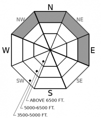
As the snow surface warms up, the threat of point release avalanches will increase, particularly on low elevation northerly aspects, where the snow is transitioning to wet. Several natural and skier triggered wet loose avalanches have occurred on north aspects during the past two days, and these slides are entraining the whole season's snowpack. Loose wet sluffs give obvious surface clues: look for pinwheels, rollerballs, or shin-deep slush as warning signs to stay away from terrain traps and gullies.
-
Type ?
-
Aspect/Elevation ?
-
Likelihood ?CertainVery LikelyLikelyPossible
 Unlikely
 -
Size ?HistoricVery LargeLargeSmall

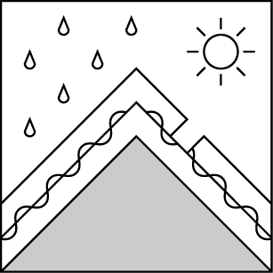
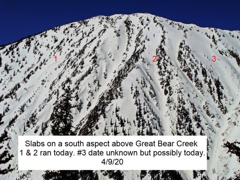
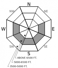
Although wet slab activity has diminished since Friday, the snowpack is still not refreezing at night. On Sunday, a skier near Fernie unintentionally triggered a destructive wet slab that broke trees. The potential for isolated wet slab or glide avalanche failures lingers on sunny, hot aspects, where the snowpack and weak layers are saturated. Wet slabs are difficult to assess and even more difficult to survive if you get caught in one. Go early before the day gets too warm and the snowpack turns to mush. Minimize your exposure below glide cracks and steep, rocky sunbaked terrain. If you step off your skis or sled and sink to your waist, you have outstayed your welcome in steep terrain.
Due to less-than-5-star riding conditions, observations are limited from the past few days. Thanks to increased greenhouse effects, low elevation northerly aspects have been transitioning to wet snow and producing wet loose avalanches that gouge a foot or so deep down to the ground. These can be avoided by moving to slope angles less than 35 degrees once you encounter rollerballs and pinwheels. Wet loose avalanches have more potential to be a problem if they push you into a tree or in a gulley. Watch your terrain traps and make sure your partners aren't skiing or riding above you as you fight through isothermal snow on your way back to the car.
The snowpack took a big warm shock last week spurring an impressive wet slab cycle. Our last wet slab avalanche was observed on Friday, but just north of our forecast area near Fernie, a skier triggered a wet slab on Sunday. Thankfully, water input into the snowpack has significantly slowed down and the snowpack is adjusting. However, cloudy skies at night are preventing a good refreeze, so we still have some uncertainty about the potential for isolated instabilities involving saturated weak layers in the middle or bottom of the snowpack. These weak layers were most active on southeast through west aspects at mid-elevations during last week's wet slab cycle. Given the destructive potential of a wet slab, it is wise to practice good spring travel protocols until the snowpack freezes. Last week's warmup also opened up some gaping glide cracks and triggered a few glide avalanche releases. Glide avalanches are now another isolated concern that behave erratically. Reduce your chances of getting demolished by a catastrophic glide avalanche by avoiding travel on and below slopes showing a "brown frown".
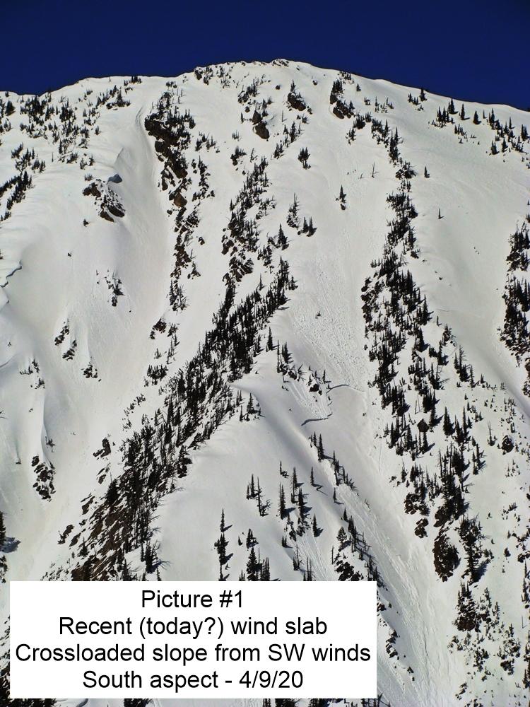
Forecasts are calling for up to 5" in the Swan Range and 2" in the Flathead Range today. If winds increase more than forecast, watch for small wind slabs to form in alpine terrain. These may not bond well to current crusty or faceted snow surfaces.
EDUCATION: The Scoop on Spring Touring: Curious about spring snow and safe travel techniques? This is the talk for you. Join FAC Lead Forecaster Blase Reardon for a FREE one hour talk on spring conditions in the Flathead. The talk begins at 6:30 p.m. Thursday, April 11th at Rocky Mountain Outfitters in Kalispell. That evening is also a community night for the Friends of the Flathead Avalanche Center at Sweet Peaks in Kalispell. Stop by for a sweet treat and then head down the street to get the scoop on spring conditions.
Nice to see snow in the forecast! A "cool" front will bring unsettled weather today, with snowfall above 5500' favoring the Swan Range. Look for an inch or three across the forecast area, and up to 5" in the Swan.
This forecast applies only to backcountry areas outside established ski area boundaries. The forecast describes general avalanche conditions and local variations always occur. This forecast expires at midnight on the posted day unless otherwise noted. The information in this forecast is provided by the USDA Forest Service who is solely responsible for its content.


