| Saturday | Saturday Night | Sunday | |
|---|---|---|---|
| Cloud Cover: | Mostly Cloudy | Mostly Cloudy | Mostly Cloudy |
| Temperatures: | 30 to 37 deg. F. | 16 to 22 deg. F. | 31 to 39 deg. F. |
| Wind Direction: | Southwest | West | West |
| Wind Speed: | 5 to 10, gusting to 15 | 5 to 10 | 5 to 10 |
| Snowfall: | 0 in. | 0 in. | 0 in. |
| Snow Line: | 3500 | 3500 | 3500 |
Whitefish Range
Swan Range
Flathead Range and Glacier National Park
How to read the forecast
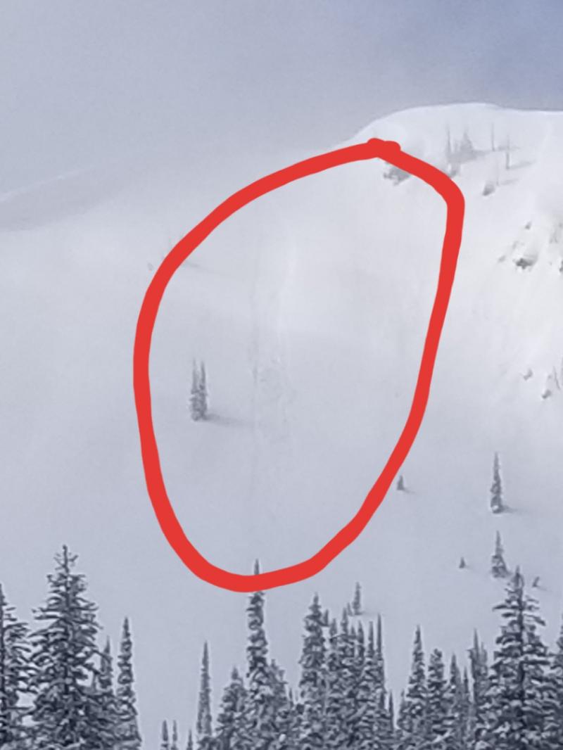
Steer clear of the exceptions to the generally stable conditions. In upper elevation terrain near the crests of the Flathead, Swan, and Whitefish Ranges or the peaks in Glacier National Park, the exceptions will be long-running sluffs of dry snow and pockets of wind slab. At lower elevations, the concern will be wet snow slides on steep slopes receiving direct sun. The danger posed by the latter will rise if cloud cover does not develop as forecast.

1. Low
?
Above 6500 ft.
1. Low
?
5000-6500 ft.
1. Low
?
3500-5000 ft.
- 1. Low
- 2. Moderate
- 3. Considerable
- 4. High
- 5. Extreme
-
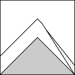
Type ?
-
Aspect/Elevation ?
-
Likelihood ?CertainVery LikelyLikelyPossible
 Unlikely
 -
Size ?HistoricVery LargeLargeSmall

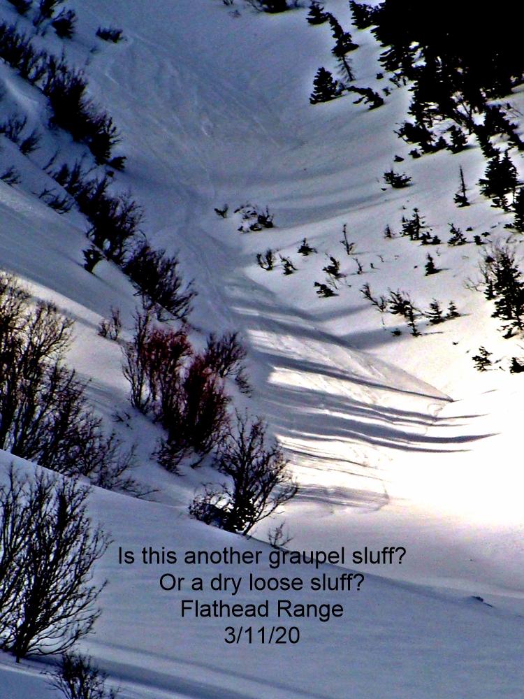
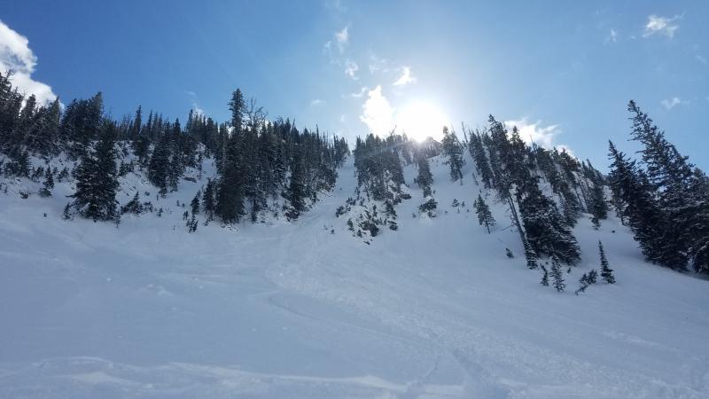
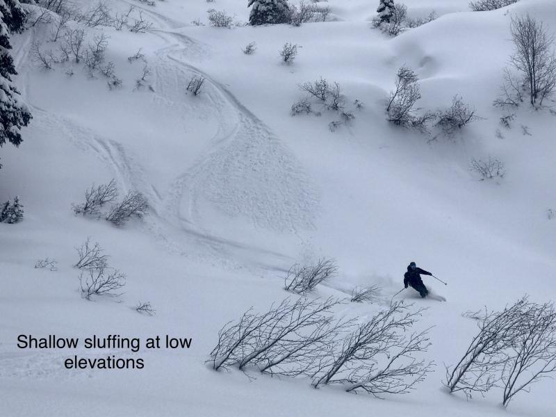
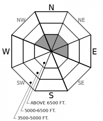
Mind your sluff. Pick lines that allow you to move aside and let debris run past you. Triggered sluffs are most likely where the snow surface remains unconsolidated: high, cold slopes steeper than about 38 degrees. They will be dangerous above terrain traps and slopes with long, continuous pitches that allow them to run further and entrain more snow. They'll also be dangerous if they knock you off your feet or machine above rockbands or other terrain that magnifies the chances of getting injured or buried.
-
Type ?
-
Aspect/Elevation ?

-
Likelihood ?CertainVery LikelyLikelyPossible
 Unlikely
 -
Size ?HistoricVery LargeLargeSmall

Southwesterly winds accompanied this week's snowfall and formed small, thin slabs of drifted snow on the lee (north and east) sides of ridges and saddles. Some of these slabs remain sensitive to the weight of a machine or rider. Look for these exceptions near the tops of chutes, below cornices, and on the downwind sides of passes and other terrain that funnel winds. The slabs will feel denser than snow on slopes sheltered from the wind, and cracks shooting from your board, skis or machine are a clear sign of danger.
-
Type ?
-
Aspect/Elevation ?
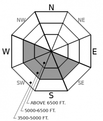
-
Likelihood ?CertainVery LikelyLikelyPossible
 Unlikely
 -
Size ?HistoricVery LargeLargeSmall

If less clouds develop than forecast, the danger posed by natural and triggered wet snow slides will rise. Move on to shadier or lower-angled slopes if the snow gets sticky or you see fan-shaped releases of rollerballs release from steep, rocky slopes. Plan your day to avoid having to exit on or under terrain like this.
A lot of green in the forecast, even though St. Patrick’s Day isn’t until tomorrow. As with that holiday, you can get into trouble if you celebrate recklessly. The hangover from getting swept into a terrain trap will last longer than that from too many Irish car bombs.
With the storm snow from earlier this week settling, the likelihood of triggering dry, loose snow slides is diminishing. It's now confined to the highest, coldest terrain. People reported drifted snow and small wind slabs at upper elevations on the west side of the Swan Range Wednesday and Friday and near Marion Lake Friday. These slabs are small, isolated to upper elevation ridges, and/ or not reactive to the weight of a rider or snowmachine. Loose wet snow avalanches have been limited to small point releases the past few days, thanks to mostly cloudy skies. This trend should continue with more cloud cover in the forecast today.
The upshot: Look for the exceptions to the generally stable conditions. The places where avalanches are most likely are confined to terrain where the consequences are highest. The nature of the exceptions will depend on where you are, with sluffing and pockets of wind slab a concern in high, cold, terrain, and sluffs of loose wet snow on and below steep slopes receiving sustained sun.
A disturbance in the Force - or at least the high-pressure ridge overhead - will increase cloud cover today. Temperatures remain mild, with light winds.
This forecast applies only to backcountry areas outside established ski area boundaries. The forecast describes general avalanche conditions and local variations always occur. This forecast expires at midnight on the posted day unless otherwise noted. The information in this forecast is provided by the USDA Forest Service who is solely responsible for its content.


