| Saturday | Saturday Night | Sunday | |
|---|---|---|---|
| Cloud Cover: | Partly Cloudy | Mostly clear | Clear |
| Temperatures: | -2 to 4 deg. F. | -21 to -1 deg. F. | -5 to 1 deg. F. |
| Wind Direction: | Northeast | Northeast | Northeast |
| Wind Speed: | 15 gusting to 25 | 17 gusting to 31 | 13 gusting to 25 |
| Snowfall: | 0" in. | 0" in. | 0" in. |
| Snow Line: | 0' | 0' | 0' |
Whitefish Range
Swan Range
Flathead Range and Glacier National Park
How to read the forecast
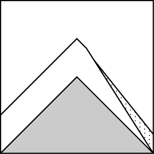
NE winds have formed wind slabs on unusual slopes. Unusual loading means more uncertainty and more potential for unexpected avalanches. Human-triggered wind slab avalanches are possible today. If you want to decrease your exposure to avalanche hazard and poor snow conditions, sniff out soft snow in wind protected areas and you should find the safest and best riding conditions.

2. Moderate
?
Above 6500 ft.
2. Moderate
?
5000-6500 ft.
2. Moderate
?
3500-5000 ft.
- 1. Low
- 2. Moderate
- 3. Considerable
- 4. High
- 5. Extreme
-
Type ?
-
Aspect/Elevation ?
-
Likelihood ?CertainVery LikelyLikelyPossible
 Unlikely
 -
Size ?HistoricVery LargeLargeSmall

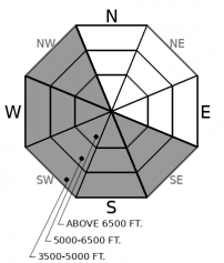
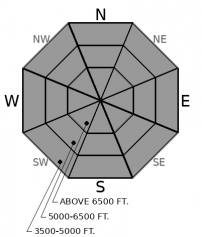
NE winds strong enough to transport snow and plenty of cold light snow available for transport means that wind slabs will exist on leeward slopes. New slabs will continue to form and previously-formed slabs will increase in size and distribution as the winds continue today. Due to the unusual winds, these will form in unusual places. Some uncertainty exists concerning the specifics of these wind slabs (see discussion), but we do know that they can cause problems. Some could be firm, more stubborn, and break above you, some could be softer and more sensitive. The largest wind slabs should exist in areas near ridgelines where NE winds are moving snow but some could also exist in unexpected places.
-
Type ?
-
Aspect/Elevation ?
-
Likelihood ?CertainVery LikelyLikelyPossible
 Unlikely
 -
Size ?HistoricVery LargeLargeSmall

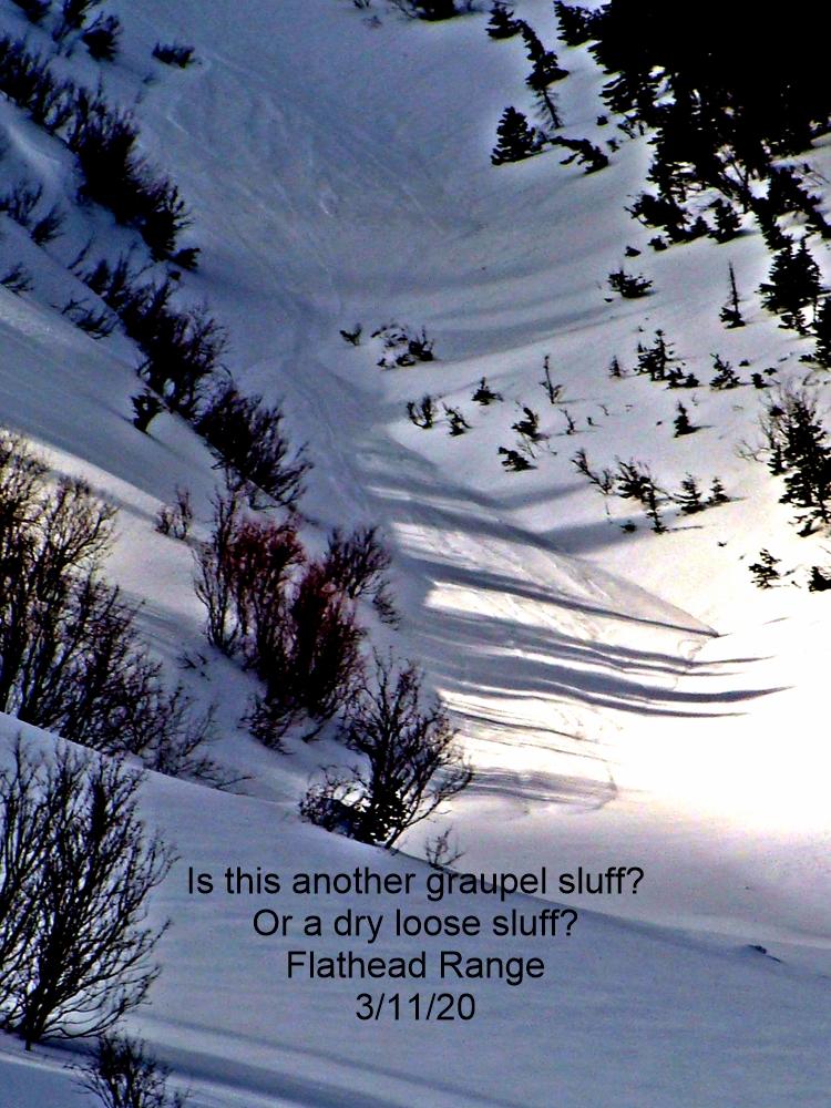
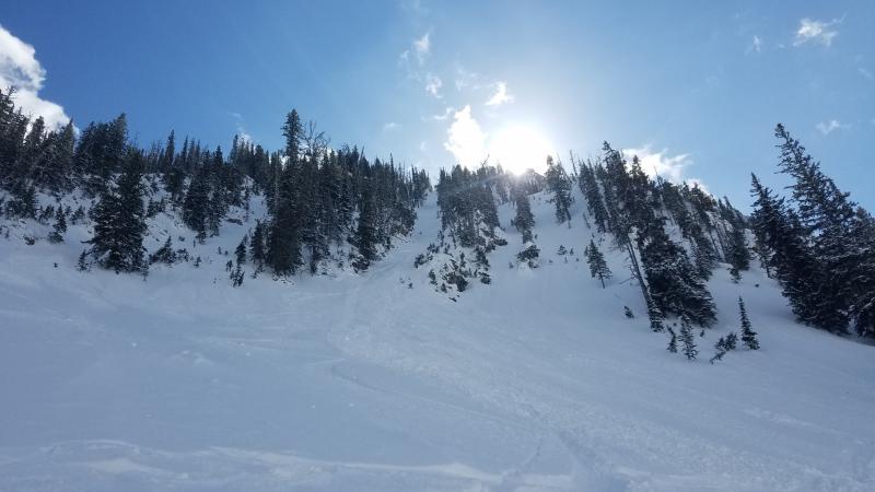
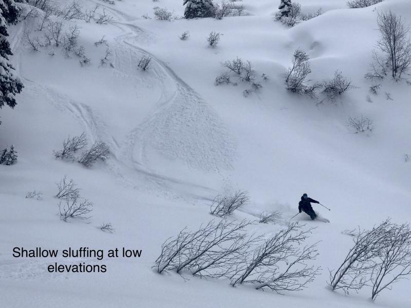
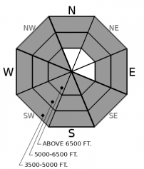
Cold temperatures and some clearing during the night should slow down consolidation in the new snow. Loose dry sluffs could continue to occur on any steep slopes today in areas where the new snow has not been touched by the wind. If the wind gets to the new snow, then the avalanche problem becomes the wind slabs mentioned above. While loose dry avalanches may be easier to manage, they can still have consequences especially in terrain where terrain traps magnify the consequences of any avalanche.
-
Type ?
-
Aspect/Elevation ?
-
Likelihood ?CertainVery LikelyLikelyPossible
 Unlikely
 -
Size ?HistoricVery LargeLargeSmall

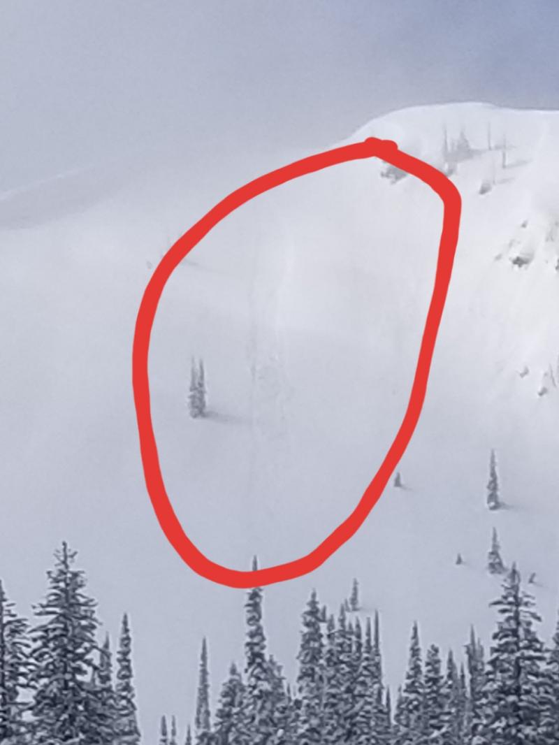
Weak layers that formed before the start of February's Siberian weather have grown dormant. Triggering an avalanche on them has become unlikely but may not be impossible in a few isolated areas. If there is any doubt about a particular slope or you experience signs of deeper instability like whumphing/collapsing, it still makes sense to steer clear areas with a more shallow snowpack or with numerous trigger points. A near-miss occurred in the Whitefish Range last week.
Winds increased and shifted to the NE starting yesterday afternoon. A steady and dramatic drop in temperatures has also accompanied these winds. NE winds and subzero temperatures, it's another arctic blast!
We know that these NE winds will redistribute the 8 to 18 inches cold, light snow that has piled up since Thursday. We know that this redistribution will form wind slabs on some slopes, scour other slopes, and leave firm uneven variable surfaces (like sastrugi) on still other slopes. Unfortunately, we don't know exactly where, how widespread, and how large these wind slabs may be. We have poor forecast tools, poorly placed instrumentation, and an even worse historical record, to help us define how the NE winds mix into higher elevations.
Those specifics matter. Focus on getting obs to evaluate the actual avalanche problem (wind slabs) and identify terrain where it may exist rather than the broad regional danger rating. In areas that the winds impact for the first time, new sensitive wind slabs will exist and triggering an avalanche could be easy. Some natural activity may even occur. In areas where wind loading has been ongoing, some natural activity may have already occurred last night and the lingering wind slabs may be more firm and a bit more difficult to trigger. Of course, these firm slabs may also break above you if you do trigger them. In areas undisturbed by the wind, expect some sluffing and copious amounts of soft cold fun snow.
The silver lining to all of this uncertainty and wind hammering is that the best snow exists where there is also less avalanche hazard: in the wind-sheltered terrain.
An arctic air mass has moved into the region bringing cold temperatures and cold northerly winds. Expect some clearing today with continued E and NE winds. The forecast calls for a sunny day tomorrow with cold temps and more wind.
This forecast applies only to backcountry areas outside established ski area boundaries. The forecast describes general avalanche conditions and local variations always occur. This forecast expires at midnight on the posted day unless otherwise noted. The information in this forecast is provided by the USDA Forest Service who is solely responsible for its content.


