| Friday | Friday Night | Saturday | |
|---|---|---|---|
| Cloud Cover: | Overcast | Mostly cloudy | Partly Cloudy |
| Temperatures: | 8 to 14 deg. F. | -19 to -8 deg. F. | -2 to 4 deg. F. |
| Wind Direction: | Northeast | Northeast | Northeast |
| Wind Speed: | 15, gusting to 33 | 21, gusting to 39 | 13, gusting to 25 |
| Snowfall: | 4 in. | trace to 1 in. | 0 in. |
| Snow Line: | 0 | 0 | 0 |
Whitefish Range
How to read the forecast
Shifting winds and light new snow mean new wind slabs today in areas exposed to the winds and the potential for loose dry avalanches on steep slopes in sheltered areas. Human triggered avalanches are likely today and could have serious consequences. Identify where wind slabs and wind-affected snow exist, and avoid those slopes in favor of more sheltered lower angled slopes. That strategy can help you to find better recreation conditions and expose your party to less potential avalanche hazards.

3. Considerable
?
Above 6500 ft.
3. Considerable
?
5000-6500 ft.
2. Moderate
?
3500-5000 ft.
- 1. Low
- 2. Moderate
- 3. Considerable
- 4. High
- 5. Extreme
-
Type ?
-
Aspect/Elevation ?
-
Likelihood ?CertainVery LikelyLikelyPossible
 Unlikely
 -
Size ?HistoricVery LargeLargeSmall

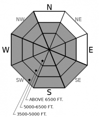
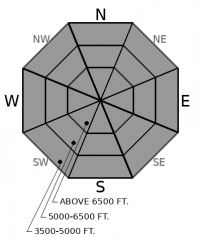
On some slopes, soft wind slabs may have formed during the last 24 hours as a result of the light SW winds. New, stiffer wind slabs will form today as the NE winds transport the light snow a second time. In short, wind slabs could exist on any exposed slope on almost any aspect today. Human-triggered wind slab avalanches will be likely in wind affected areas today.
-
Type ?
-
Aspect/Elevation ?
-
Likelihood ?CertainVery LikelyLikelyPossible
 Unlikely
 -
Size ?HistoricVery LargeLargeSmall

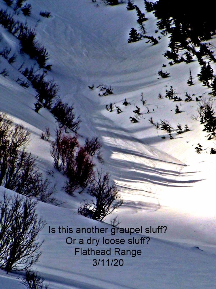
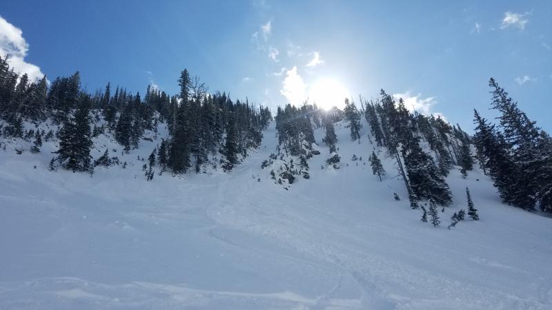
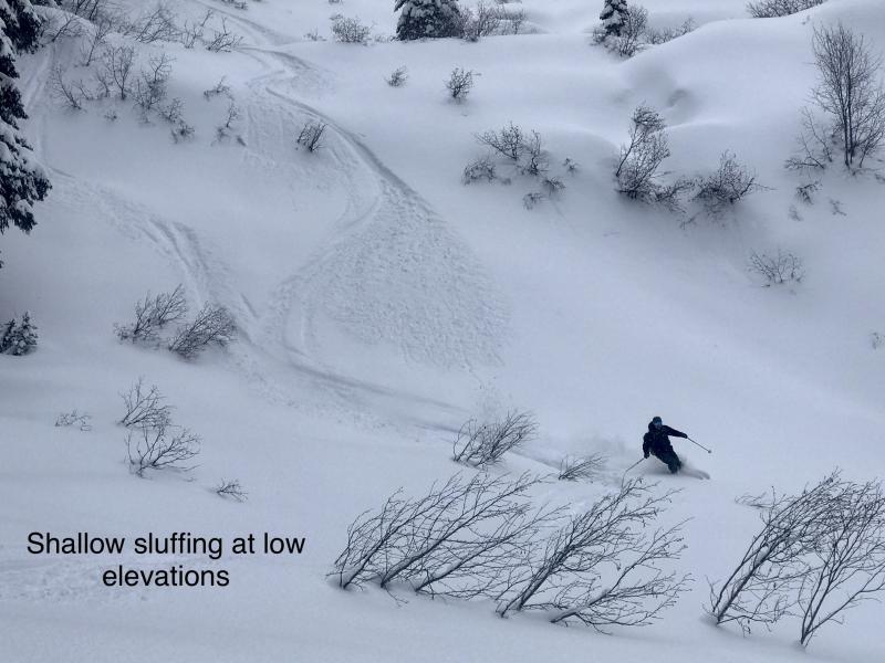
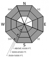
Loose dry sluffs could occur on any steep slope today in areas where the new snow has not been touched by the wind. If the wind gets to the new snow, then the avalanche problem becomes the wind slabs mentioned above. While loose dry avalanches may be easier to manage, they can still have consequences especially in terrain where terrain traps magnify the consequences of any avalanche.
-
Type ?
-
Aspect/Elevation ?
-
Likelihood ?CertainVery LikelyLikelyPossible
 Unlikely
 -
Size ?HistoricVery LargeLargeSmall

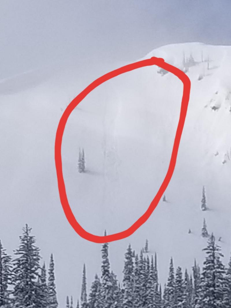
Weak layers that formed before the start of February's Siberian weather have grown dormant and triggering an avalanche on them has become unlikely. However, they're still propagating in a few tests, so it may not be impossible. If there is any doubt about a particular slope or you experience signs of deeper instability like whumphing/collapsing, it still makes sense to steer clear of the terrain that may harbor potential trigger points: convex, unsupported slopes with variable snow depths. A near-miss occurred in the Whitefish Range last week.
The avalanche danger will be greatest in the northern regions where the most new snow has accumulated and larger avalanches could occur.
More snow has fallen in the Whitefish Range than its neighbors to the south in the last 24 hours. Some sensors showed as much as 16 inches of very low-density snow as of 6am up north while most of the sensors in the Flathead and Swan ranges showed 4 to 8 inches. Calm to light SW winds accompanied this initial accumulation, but it doesn't take much wind to move snow this fluffy. Those light SW winds may still have been able to drift some snow onto more traditional leeward aspects. As the winds increase today and shift to the NE they will scour these aspects and move snow back across the ridges. As the snow moves back and forth it will become more cohesive and the new wind slabs formed by the NE winds could be more reactive and larger.
In areas sheltered from the winds, the combination of steadily falling temperatures and very low-density new snow should result in storm snow without many slab characteristics. This storm snow resides on top of loose sugary old snow surfaces and signs of poor bonding existed yesterday.
Expect another 4 inches of new snow today before snow showers start to taper off this evening. The forecast calls for the winds to increase and shift back to the NE today as a very cold arctic high pressure moves into the region over the next 24 hours. NE winds will be even stronger tonight.
This forecast applies only to backcountry areas outside established ski area boundaries. The forecast describes general avalanche conditions and local variations always occur. This forecast expires at midnight on the posted day unless otherwise noted. The information in this forecast is provided by the USDA Forest Service who is solely responsible for its content.


