| Saturday | Saturday Night | Sunday | |
|---|---|---|---|
| Cloud Cover: | Mostly cloudy | Partly cloudy | Partly cloudy |
| Temperatures: | -10 to 0 deg. F. | -20 to -15 deg. F. | 2 to 12 deg. F. |
| Wind Direction: | East or Northeast | East or Northeast | East or Northeast |
| Wind Speed: | 10 to 15, gusting to 35 | 10 to 15, gusting to 25 | 5 to 10, gusting to 20 |
| Snowfall: | 0 in. | 0 in. | 0 in. |
| Snow Line: | 0 | 0 | 0 |
Flathead Range and Glacier National Park
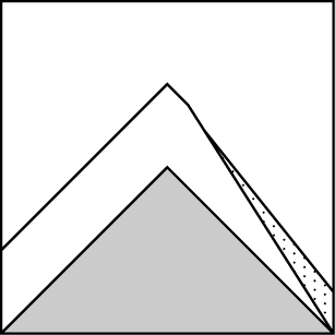
How to read the forecast
A grocery list of avalanche concerns today, with the greatest danger where snow accumulations are greatest and winds continue to blow. That’s generally areas closest to the Flathead Valley. Cold temperatures and bitter wind chills will complicate backcountry travel, decision-making, and rescue today. Keep it simple.

2. Moderate
?
Above 6500 ft.
2. Moderate
?
5000-6500 ft.
2. Moderate
?
3500-5000 ft.
- 1. Low
- 2. Moderate
- 3. Considerable
- 4. High
- 5. Extreme
-
Type ?
-
Aspect/Elevation ?
-
Likelihood ?CertainVery LikelyLikelyPossible
 Unlikely
 -
Size ?HistoricVery LargeLargeSmall

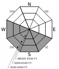
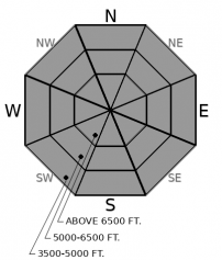
Friday’s low-density snow and gusty winds can be a nasty combination. On steep slopes, you can trigger slabs of drifted snow that break 8 to 18 inches deep. These slabs will be readily apparent, because they’ll feel distinctly denser than the snow in areas not brushed by the wind. They won’t be widespread, but look for them at all elevations. They’’ll be most sensitive to a person’s weight on slopes where the northerly winds are actively blowing and drifting snow.
-
Type ?
-
Aspect/Elevation ?
-
Likelihood ?CertainVery LikelyLikelyPossible
 Unlikely
 -
Size ?HistoricVery LargeLargeSmall

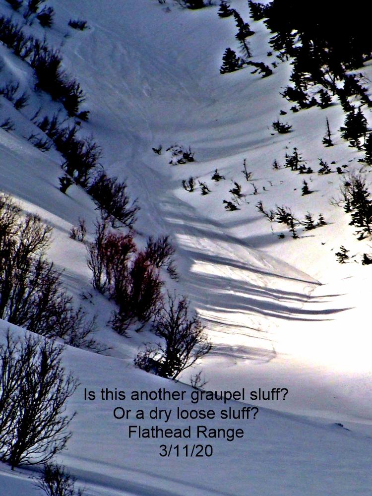
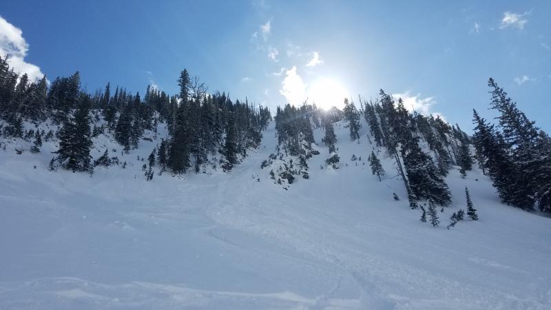
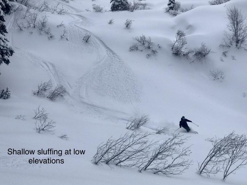
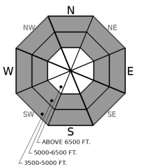
In terrain that hasn't been affected by the wind, long-running sluffs of low-density snow pose a danger today. These can entrain enough snow to bury you if they stuff you into a gully, tree well, or creek bed. They'll be easiest to trigger and larger on slopes steeper than about 35 degrees with more than about 8 inches of loose, cohesionless snow at the surface. Pick lines that aren’t above terrain traps, and keep your partners in sight, which may take some extra effort in steep, treed terrain.
-
Type ?
-
Aspect/Elevation ?
-
Likelihood ?CertainVery LikelyLikelyPossible
 Unlikely
 -
Size ?HistoricVery LargeLargeSmall

The regular snowfall of the past week is gradually accumulating into a slab that’s loading weak layers buried deeper in the snowpack. These include facets around a thick crust that formed on Groundhog Day and surface hoar that formed in mid January. The facet/crust combination is now buried 4 to 10 inches deep and exists up to about 6000 feet in most areas. The 1/17 surface hoar is now buried 20 to 30 inches deep. Both layers continue to propagate in column tests, but were not reactive to a person’s weight Friday. That may change, however, as the slab consolidates. Shooting cracks and whumpfing collapses are clear signs that the buried weak layers are becoming more sensitive to your weight or the weight of your snowmobile. Step back to less steep slopes that aren’t above terrain traps if you see these signs.
Your mileage may vary.
The heaviest snowfall Friday looks to have occurred on the peaks closest to the Flathead Valley, with Noisy Basin and Big Mountain showing 9-12 inches of new snow and reports of 18 inches around Kimmerly Basin. Low and mid elevations got as much or more than higher elevations. But areas further north and east, like Ten Lakes, Essex, and Stevens Canyon, saw just a few inches.
The low-density snow is easily moved by the winds, like the gusty northerly winds that arrived as the arctic air poured over the Divide yesterday. For the most part, the winds subsided overnight at upper elevations, where most stations are showing light winds with moderate gusts this morning. The exceptions are in the valleys, where the dense, cold air sinks, and Big Mountain, where northeasterly winds are still blowing 15 to 20 mph with gusts of 35 to 40. Most people out yesterday reported only light drifting and little slab formation, but where the winds were strong, such as near Big Mountain, slabs formed quickly.
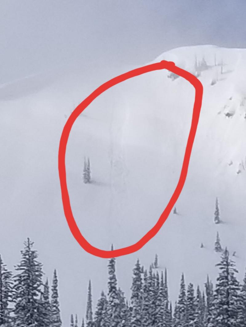
The low-density snow is also prone to sluffing. Several parties reported long-running natural and easily triggered Loose Dry avalanches Friday, on steep south- and north-facing slopes (Rescue Creek, Essex Mountain). Some were large enough to bury or injure a person.
The greatest danger today will be on slopes where the most new snow has fallen and where winds have formed fresh slabs. But it’s not a standard set of hazards, and they’re distributed in unusual ways. You might find Loose Dry snow avalanches as dangerous as slabs. Similarly, the highest snow totals - and greatest danger - may exist at mid elevations, with less snow in areas usually favored by storms. Similarly, the winds slabs that have formed are on southerly aspects, rather than our typical easterly aspects. Thus, your mileage may vary. Adjust your plans and travel tactics to the conditions you find. Keep in mind that the weather may make it difficult to do normally easy things like stopping to check out conditions or communicate observations. And waiting for a rescue would be downright rough.
Continued arctic temperatures today. Gusty winds, mostly in and around saddle, canyons and other features that funnel the cold, dense air. Dimininishing wind overnight, and slightly warmer temperatures Sunday.
This forecast applies only to backcountry areas outside established ski area boundaries. The forecast describes general avalanche conditions and local variations always occur. This forecast expires at midnight on the posted day unless otherwise noted. The information in this forecast is provided by the USDA Forest Service who is solely responsible for its content.


