| Tuesday | Tuesday Night | Wednesday | |
|---|---|---|---|
| Cloud Cover: | Mostly cloudy | Mostly cloudy | Partly Cloudy |
| Temperatures: | 5 to 10 deg. F. | -8 to -13 deg. F. | 4 to 9 deg. F. |
| Wind Direction: | Northeast | Northeast | Northeast |
| Wind Speed: | 5 to 15 | 5 to 15 | 5 to 15 |
| Snowfall: | 0 to 1 in. | 0 in. | 0 in. |
| Snow Line: | 0 | 0 | 0 |
Whitefish Range
Swan Range
Flathead Range and Glacier National Park
How to read the forecast
Surface instabilities involving the new and windblown snow are today's primary concern, especially in terrain where a small slide could knock you into trees or over rocks. Larger and more dangerous wind slabs may exist in terrain that saw extensive wind transport during the past few days. Pay attention to surface clues and recent wind drifting patterns before traveling in steep terrain. Cold temperatures will complicate any kind of rescue or injury.

2. Moderate
?
Above 6500 ft.
2. Moderate
?
5000-6500 ft.
1. Low
?
3500-5000 ft.
- 1. Low
- 2. Moderate
- 3. Considerable
- 4. High
- 5. Extreme
-
Type ?
-
Aspect/Elevation ?
-
Likelihood ?CertainVery LikelyLikelyPossible
 Unlikely
 -
Size ?HistoricVery LargeLargeSmall

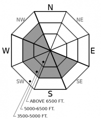
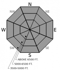
Some mountain locations recorded moderate to strong northeast winds on Sunday. The low-density snowfall that accompanied this wind event has drifted into thicker slabs on atypical aspects. An observer yesterday reported cracking in wind drifted snow, an obvious sign of slab formation. Slabs will be slow to heal under our cold weather pattern, so it is best to steer around wind loaded features today. Monitor the snow surface for signs of wind transport, such as thicker drifts, trees without snow on their branches, or wind sculpting at the surface. You will find better riding quality and safer snow in wind sheltered terrain where the snow surface is soft and fluffy.
-
Type ?
-
Aspect/Elevation ?
-
Likelihood ?CertainVery LikelyLikelyPossible
 Unlikely
 -
Size ?HistoricVery LargeLargeSmall

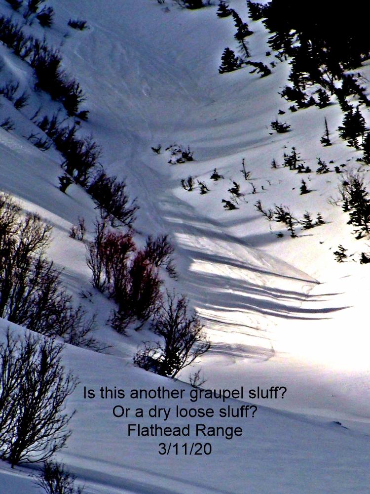
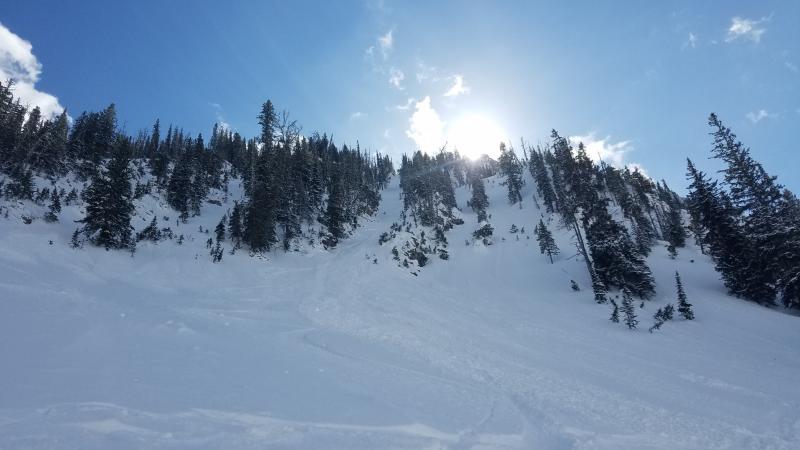
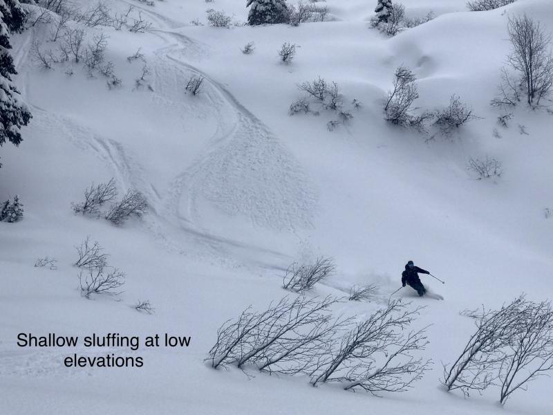
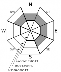
At mid and low elevations, you will find 3" to 6" of cohesionless snow over a slick crust, and up to a foot of snow at some upper elevation locations. Observers on Monday reported very thin storm slabs and shallow loose dry avalanches that were easy to trigger on steep terrain. These are generally harmless unless they push you into a gulley, trees, or over rocks. Use slope cuts and sluff management techniques in steep, consequential terrain or opt for lower angle slopes to avoid the problem.
-
Type ?
-
Aspect/Elevation ?
-
Likelihood ?CertainVery LikelyLikelyPossible
 Unlikely
 -
Size ?HistoricVery LargeLargeSmall

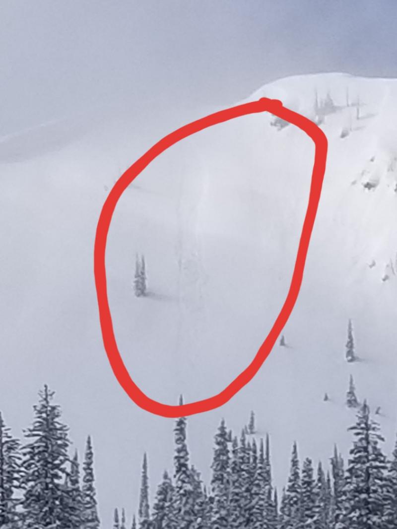
Slabs 1' to 2' thick over buried surface hoar and facets remain a stubborn concern in isolated locations. Observers yesterday reported propagating test results in the Whitefish Range and a rumbling collapse in Glacier Park. These are both warning signs to steer towards lower angled terrain or dense tree cover. You are most likely to encounter this problem between 5,500' and 6,500' on slopes that are open to the sky and sheltered from wind and sun.
Yesterday's observations (Example A, Example B) suggest that the Super Bowl Sunday blizzard's winds were almost as disappointing as the Rams' offense. In other words, despite thick wind slabs forming in downtown Kalispell and small pets being wind transported in Whitefish, we were pleasantly surprised to find a lack of wind transport or avalanche activity in the mountains. Our remote weather stations show that some mountain locations did experience serious winds, such as Big Mountain and John F Stevens Canyons. Whitefish Mountain Resort hasn't opened their summit chairlifts in the past 2 days due to cold temperatures and wind chill. We still have limited data from upper elevations or the most wind-blasted terrain, so keep your guard up if you encounter signs of wind drifting or thicker slabs. Wind sheltered terrain is offering softer, fluffier snow and smaller, easier to manage loose snow instabilities.
More temporary good news for the snowpack: Cold temperatures have locked down the wet snow surface from last week, thus creating a stout crust well into the middle elevation band, up to 5500' or 6000'+. This is effectively narrowing the distribution of our lingering persistent slab problem, and our most concerning slopes now are those above the crust but below 6,500'. Sticking with the moat theme, we now have an ice bridge spanning most of the moat, making for safer access to the castle. Be wary of areas where that ice bridge is thin or non-existent. I used the qualifier "temporary" because this stout crust will likely lead to another generation of persistent slabs in the future, when and if we bury the low-density snow above it.
We removed deep slabs from the problem list today. The current weather pattern, along with a lack of deep instabilities in the past couple of weeks, has made this problem a very unlikely concern for now. Deep slabs are a challenging problem to forecast for and assess in the field, and always carry uncertainty mid-winter. Good travel habits that reduce your overhead exposure and being wary of thin, rocky spots are a wise strategy mid-winter.
EDUCATION: Sign up for one of our upcoming classes: Companion Rescue Clinic 02/09/2019 and Introduction to Avalanches (non-motorized) 02/28/2019 to 03/02/2019.
Northwest Montana remains under the influence of cold, arctic air - Today brings a slightly more tolerable version of the last 2 days under a minor warming trend and subsiding winds. Don't expect to break out the shorts or flip-flops anytime the rest of the week, though. Colder temps and gustier winds are terrorizing Marias Pass and terrain closer to the Continental Divide.
This forecast applies only to backcountry areas outside established ski area boundaries. The forecast describes general avalanche conditions and local variations always occur. This forecast expires at midnight on the posted day unless otherwise noted. The information in this forecast is provided by the USDA Forest Service who is solely responsible for its content.


