| Thursday | Thursday Night | Friday | |
|---|---|---|---|
| Cloud Cover: | Overcast | Overcast | Overcast |
| Temperatures: | 18 to 23 deg. F. | 17 to 22 deg. F. | 25 to 30 deg. F. |
| Wind Direction: | Northeast | East | Southwest |
| Wind Speed: | 5 to 15 mph, Gusting to 30 | 5 to 15 mph, Gusting to 30 | 10 to 20, gusting to 40 |
| Snowfall: | 4 to 7 in. | Swan: 8 to 11, Elsewhere 4 to 6, in. | Swan: 5 to 10, Elsewhere: 3 to 5 in. |
| Snow Line: | 1000 | 2500 | 3000 |
Whitefish Range
Swan Range
Flathead Range and Glacier National Park
How to read the forecast
An AVALANCHE WATCH is in effect. Very dangerous avalanche conditions are expected to develop by Friday or Saturday. Today, monitor storm totals and watch for easily triggered but small avalanches breaking in the new snow and running on slick crusts. Use caution around terrain traps and near wind drifted ridgelines.

2. Moderate
?
Above 6500 ft.
2. Moderate
?
5000-6500 ft.
2. Moderate
?
3500-5000 ft.
- 1. Low
- 2. Moderate
- 3. Considerable
- 4. High
- 5. Extreme
-
Type ?
-
Aspect/Elevation ?
-
Likelihood ?CertainVery LikelyLikelyPossible
 Unlikely
 -
Size ?HistoricVery LargeLargeSmall

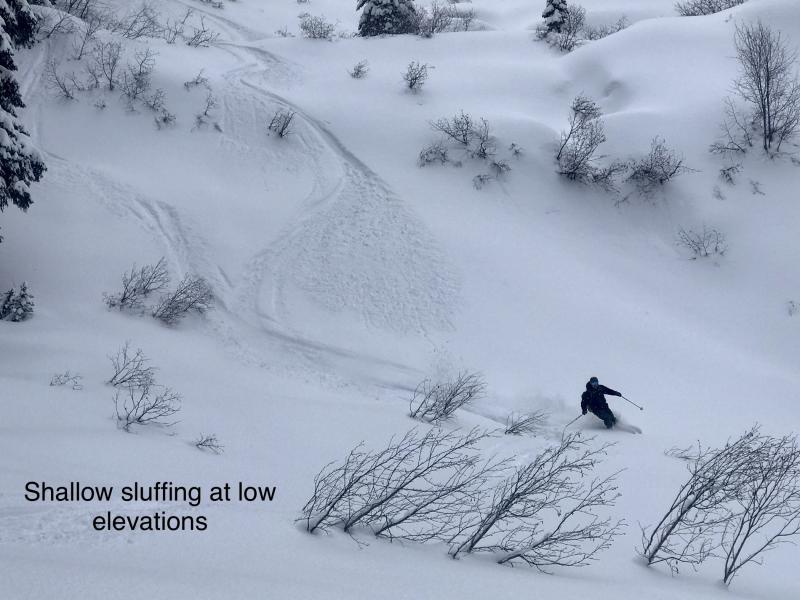
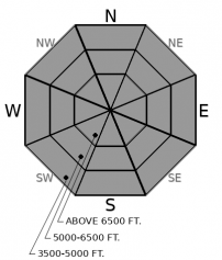
4" to 7" of low-density snow is forecasted for today. The new snow will not bond well to this morning's weak and crusty snow surface. Anticipate easily triggered sluffs or very soft slabs breaking in the new snow by the end of the day. These could be dangerous in long running terrain or if they push you into trees, over rocks, or into gullies. Test stability on inconsequential slopes and use sluff management techniques in larger terrain.
-
Type ?
-
Aspect/Elevation ?
-
Likelihood ?CertainVery LikelyLikelyPossible
 Unlikely
 -
Size ?HistoricVery LargeLargeSmall

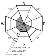
Light to moderate northeast winds will add cohesion to new snow near ridgelines and in wind exposed areas, forming tender soft slabs. Look for blowing snow or cracking in the new snow to clue you into this threat, and steer around consequential wind drifted slopes.
-
Type ?
-
Aspect/Elevation ?
-
Likelihood ?CertainVery LikelyLikelyPossible
 Unlikely
 -
Size ?HistoricVery LargeLargeSmall

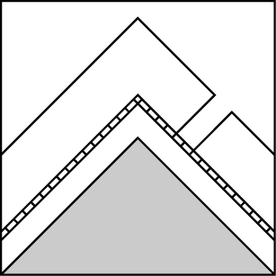
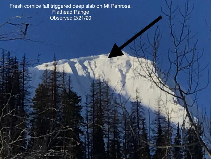
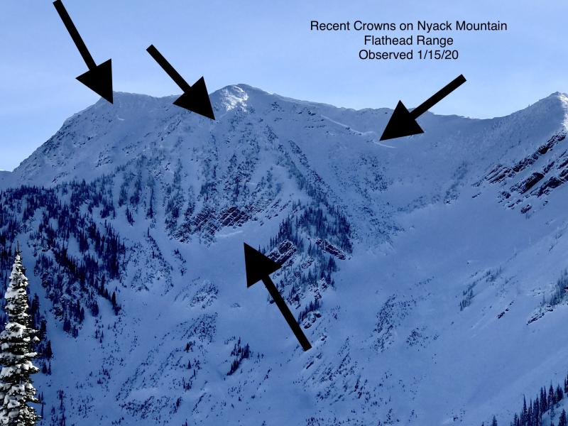
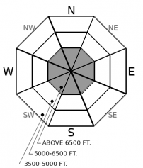
We have observed hard slabs breaking up to 5 feet deep from upper elevations of Flathead Range and Glacier Park as recently as last Thursday. These instabilities have become stubborn and isolated under the past week of mild weather, but the consequences of a deep slab breaking on old layers will be severe. If you are traveling in alpine terrain, be selective about your ascent and descent routes. Reduce your risk by choosing concave terrain features where snow depths are more consistent and you cross fewer potential trigger points, like shallowly-buried rocks or margins of cross-loaded slabs.
The snowpack is generally stable this morning, but that will quickly change as new snow starts to pile up by this evening. The current surface is littered with weak layers and slick crusts that will bond poorly with arriving snow. Today's snowfall forecast looks modest and low density, with most of it arriving around late afternoon. Today, it is appropriate to ski and ride in aggressive terrain, but start reeling it in around terrain traps and gullies once accumulations start reaching 4" to 6". That may not happen until sunset. The low-density new snow should behave predictably today, sluffing or breaking as very soft slabs below you. You could encounter thicker or more cohesive drifts near ridgelines or in wind exposed areas.
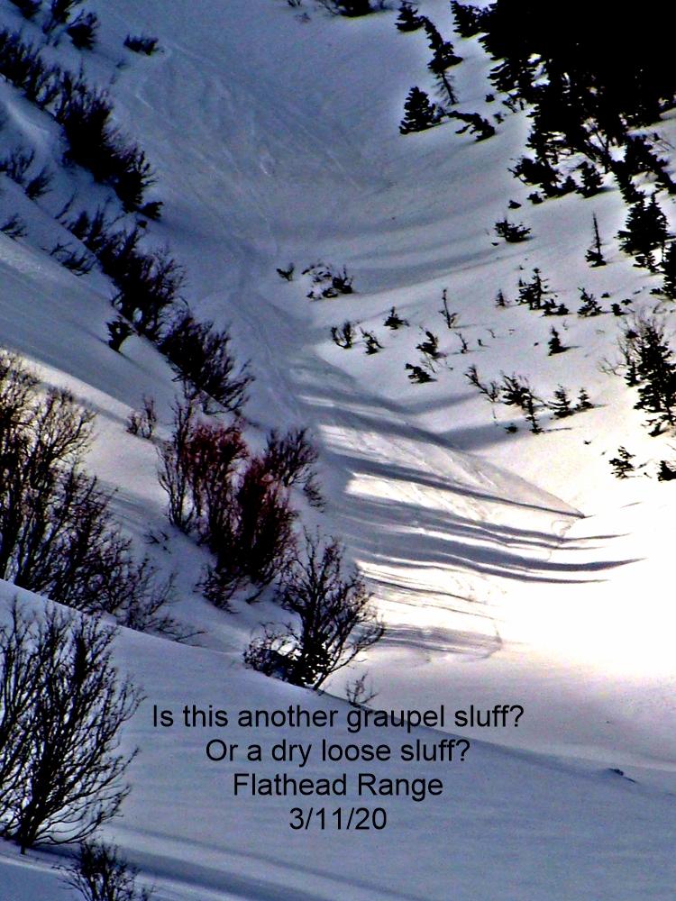
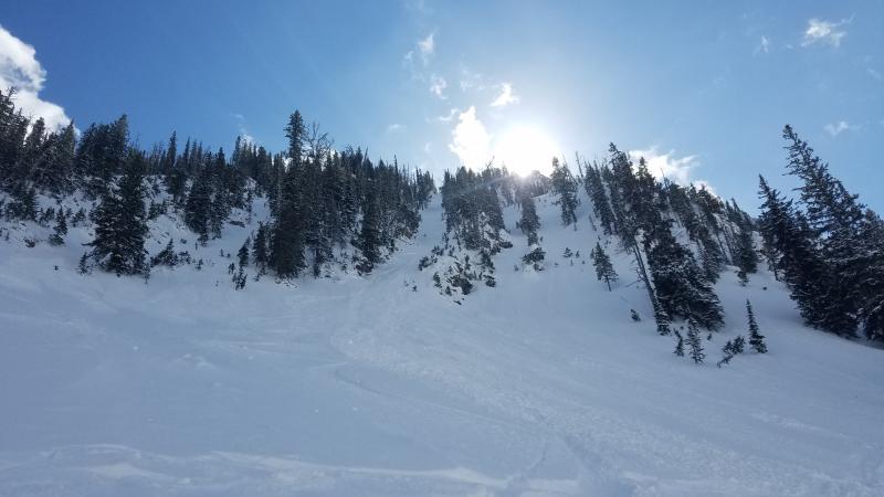
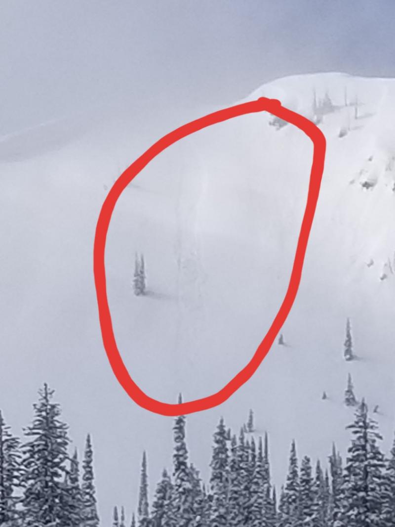
Conditions will quickly become dangerous overnight as the storm cranks on and new snow becomes thicker and slabbier. Our current snow surface is very fragile (see videos below), and it won't take much of a slab to overload it. By tomorrow, we are expecting HIGH danger developing in the portions of our forecast area that receive the most snow. Avalanche conditions worsen on Saturday.
We have shifted the persistent slab problem over to deep slabs, as this problem has become more stubborn, even less predictable, and will produce very thick avalanches that break 4 to 6 feet deep. Today's snowfall is unlikely to wake up these deep weak layers, but by tomorrow, it is time to start thinking about very large naturals that could be triggered by smaller slides breaking in the new snow. This problem has been most active in the Flathead Range and Glacier Park.
EDUCATION: It's a great time to hone your avalanche knowledge or start learning the basics. Sign up for one of our upcoming classes: Ladies Avalanche Awareness Talk - Kalispell Brewing Company -01/30/2019 6:30 PM, Motorized Introduction to Avalanches 01/31/2019 to 02/02/2019, Companion Rescue Clinic 02/09/2019 and Introduction to Avalanches (non-motorized) 02/28/2019 to 03/02/2019.
Light precipitation is moving across the Idaho Panhandle this morning. Light moisture will be over-running a cold airmass entrenched across the Flathead today that is spilling northeast winds through valleys and at ridgecrests. A stronger surge, enhanced by a Pacific front, arrives this afternoon. We'll see steady snowfall into Friday and up to a foot of snow or more in the mountains, favoring the Swan Range. Saturday brings another round of snowfall and increasing winds.
This forecast applies only to backcountry areas outside established ski area boundaries. The forecast describes general avalanche conditions and local variations always occur. This forecast expires at midnight on the posted day unless otherwise noted. The information in this forecast is provided by the USDA Forest Service who is solely responsible for its content.


