Whitefish Range
Flathead Range and Glacier National Park
How to read the forecast
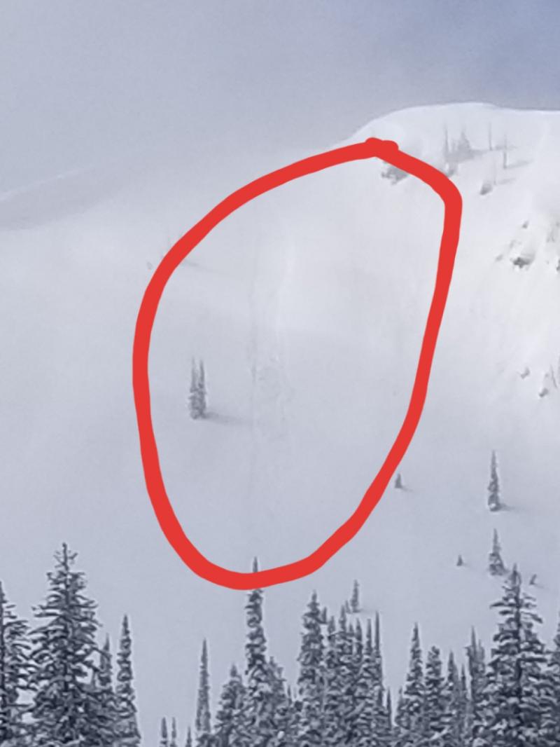
Light snow Friday night will increase the risk of loose dry avalanches where the most snow accumulates. Monitor new snow totals as you travel. Early season obstacles can increase the consequences of an avalanche. Below about 6,000' the snow cover is generally too thin for avalanche concerns.

No Rating
?
Above 6500 ft.
No Rating
?
5000-6500 ft.
No Rating
?
3500-5000 ft.
-
Type ?
-
Aspect/Elevation ?

-
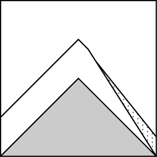
Size ?HistoricVery LargeLargeSmall

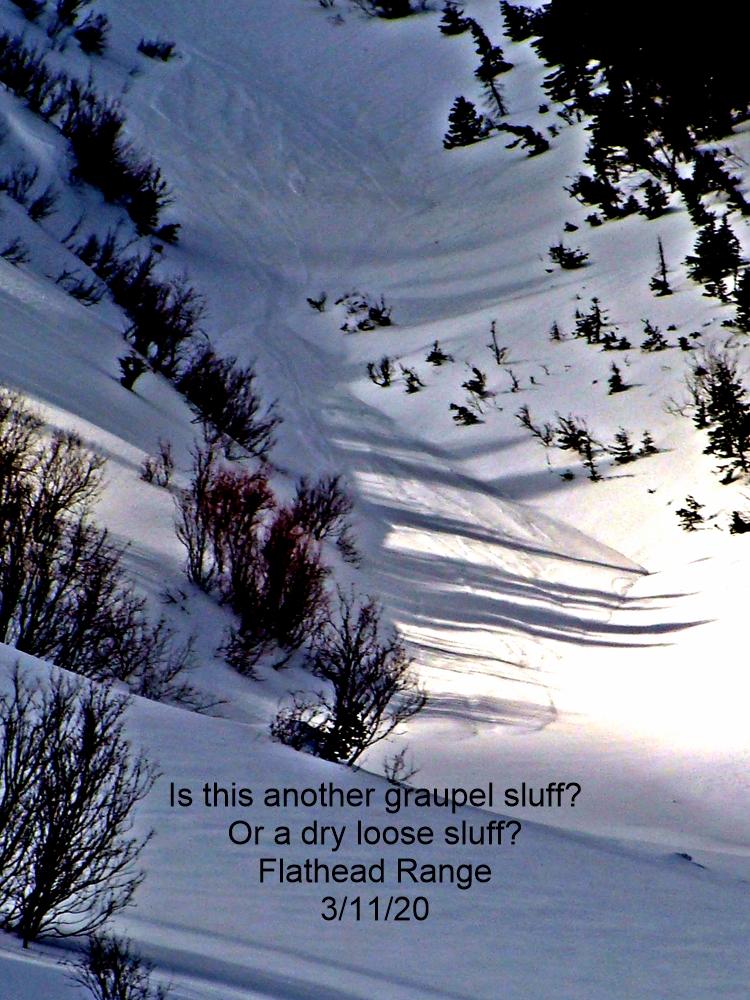
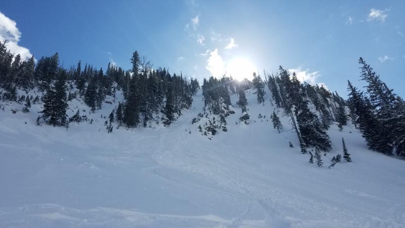
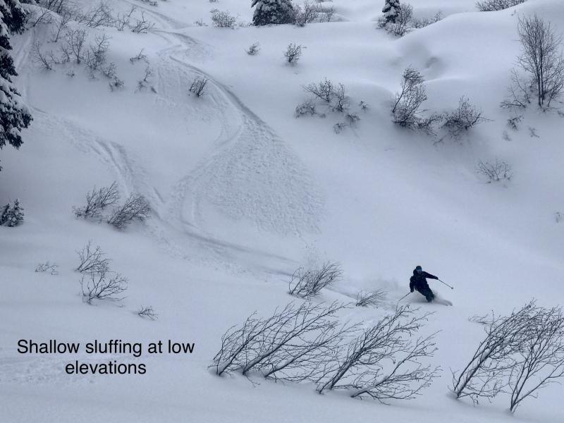
A weak disturbance Friday into Saturday will bring light snow, colder temperatures, and light winds. This will add more unconsolidated snow to an already soft upper snowpack. New snow may bond poorly to surface crusts. Sloughs are more likely on slopes steeper than about 35 degrees. Slides like these may be dangerous if they knock you off of your feet above a terrain trap.
A relatively mild weather pattern continues for our area. Light winter precipitation will make an appearance heading into the weekend. Cold temperatures and high pressure will follow next week.
Observations (like this one, and this one) around the Flathead Valley show little snow cover below about 6,000'. At higher elevations weak layers of buried surface hoar, faceted snow, and thin fragile crusts abound. More recent snow on top of these layers has remained light and unconsolidated in many areas. If snow totals or winds speeds exceed forecasted amounts, isolated wind slab or storm slabs may develop at upper elevations. Use normal caution if you travel in the mountains and remember to be wary of any area with an upside down snowpack.
This is an early season snowpack update. The FAC will continue to monitor conditions and update information as conditions warrant. Daily advisories will begin sometime in December as the snowpack develops. If you get into the mountains, let us know what you see. Our next Avalanche Awareness talk is this Thursday at Sportsmans & Ski Haus at 6:30 p.m!
We will be producing mountain weather forecasts during our regular season operations. You can find daily backcountry specific weather forecasts from NOAA here.
This forecast applies only to backcountry areas outside established ski area boundaries. The forecast describes general avalanche conditions and local variations always occur. This forecast expires at midnight on the posted day unless otherwise noted. The information in this forecast is provided by the USDA Forest Service who is solely responsible for its content.
Call
Contact
In Partnership With

In Partnership With


