Whitefish Range
Swan Range
Flathead Range and Glacier National Park
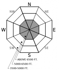
How to read the forecast
Continued precipitation, warming temperatures, and gusty winds leading into this weekend will cause increasing avalanche danger on high elevation, snow-covered slopes. Watch for changing conditions and be wary of natural avalanches.

No Rating
?
Above 6500 ft.
No Rating
?
5000-6500 ft.
No Rating
?
3500-5000 ft.
-
Type ?
-
Aspect/Elevation ?

-
Size ?HistoricVery LargeLargeSmall

Over a foot of new snow is expected to accumulate by this weekend above the rain/snow line, accompanied by strong winds. Slabs of dense new and windblown snow will grow larger in size over the next several days and could release naturally. Instabilities will be localized to steep terrain with continuous snow coverage, predominately above 7,000 feet. Monitor snow depths, be cautious of overhead hazards, and avoid windloaded terrain.
-
Type ?
-
Aspect/Elevation ?

-
Size ?HistoricVery LargeLargeSmall

Freezing levels are forecasted to rise to 7,500+ feet on Thursday. Rain will rapidly destabilize into loose wet avalanche conditions on steep slopes with sufficient snow coverage. Watch for rollerballs and pinwheels to indicate changing conditions, and use caution below snow-filled gullies and chutes.
Snowdepths as of Wednesday afternoon range from 4" to 12" at 6,000', with notably deeper amounts in the alpine terrain above 7,000'. A mix of bare ground, rain crusts, and faceted snow underly the new snow that has accumulated this week. Wild and wet weather is on tap for the next few days with freezing levels rising to 7,000-8,000' on Thursday/Friday, gusty winds peaking on Friday, and a strong surge of precipitation which could deliver over 2"-3" of water by Saturday. This type of weather would spur a widespread avalanche cycle during mid-winter conditions, but thanks to our limited snow coverage, avalanche activity will be smaller and localized to the highest elevations holding a deeper and more continuous snowpack. If you are brave enough to face the alpine, be prepared for wet avalanches below the rain/snow line and storm and wind slabs above it. Wet avalanche concerns should shut down with the arrival of cooler weather on Saturday. Continued snowfall will keep storm instabilities as a concern into next week.
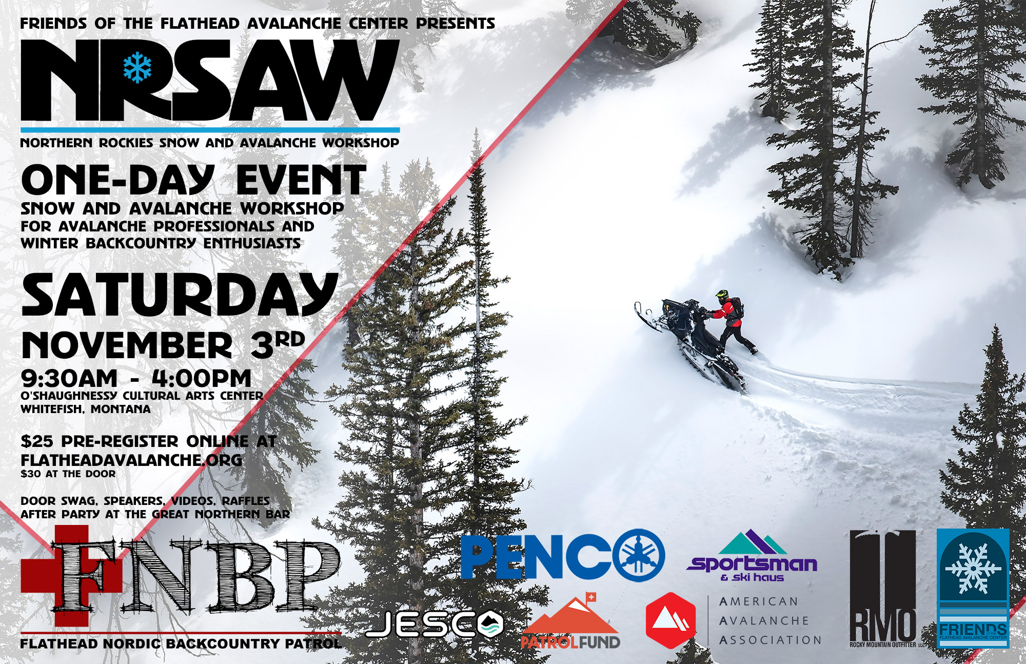
This weather is perfect for staying indoors and brushing up on your avalanche knowledge! The 2018 Northern Rockies Snow and Avalanche Workshop has a great lineup of presentations, vendor booths, raffles, and an all-around good time. The event is November 3rd, 2018....all the details are here.

We will be producing mountain weather forecasts during our regular season operations. You can find current weather information at www.noaa.gov
This advisory applies only to backcountry areas outside established ski area boundaries. This advisory describes general avalanche conditions and local variations always occur. This advisory expires at midnight on the posted day unless otherwise noted. The information in this advisory is provided by the USDA Forest Service who is solely responsible for its content.
Call
Contact
In Partnership With

In Partnership With


