| Friday | Friday Night | Saturday | |
|---|---|---|---|
| Cloud Cover: | AM snow showers | Mostly cloudy | Snow and freezing rain |
| Temperatures: | 27 to 32 deg. F. | 17 to 22 deg. F. | 35 to 40 deg. F. |
| Wind Direction: | SE | SE | S |
| Wind Speed: | 5 to 10 mph, gusts 20 mph | 0 to 5 mph | 5 to 10 mph, gusts 20 mph |
| Snowfall: | 0 in. | 0 in. | 1 to 3 in. |
| Snow Line: |
Whitefish Range
Flathead Range and Glacier National Park
How to read the forecast
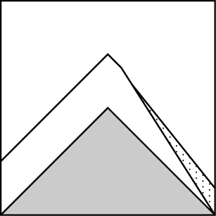
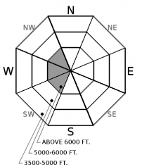
New snow and wind may form thin slabs at upper elevations on atypical slopes. Approach lens-shaped pillows with caution and look for cracks as a sign of instability. Wind-sheltered, low angle slopes offer the safest riding conditions.

2. Moderate
?
Above 6500 ft.
2. Moderate
?
5000-6500 ft.
1. Low
?
3500-5000 ft.
- 1. Low
- 2. Moderate
- 3. Considerable
- 4. High
- 5. Extreme
-
Type ?
-
Aspect/Elevation ?
-
Likelihood ?CertainVery LikelyLikelyPossible
 Unlikely
 -
Size ?HistoricVery LargeLargeSmall

New snow accompanied by moderate northeast winds may form thin wind slabs on atypical, leeward slopes. These slabs will most likely exist at upper elevations on steep convexities or cross-loaded terrain. Yesterday, my partner and I found little evidence of wind transport in the Flathead Range but winds and snowfall were on the increase by the afternoon. Low-density snow will be easily transported into foot plus drifts with light to moderate winds. Cracking in the surface snow is a sign of instability and approach lens-shaped pillows with caution. A small slide around trees and cliffs can have a bad outcome.
-
Type ?
-
Aspect/Elevation ?

-
Likelihood ?CertainVery LikelyLikelyPossible
 Unlikely
 -
Size ?HistoricVery LargeLargeSmall

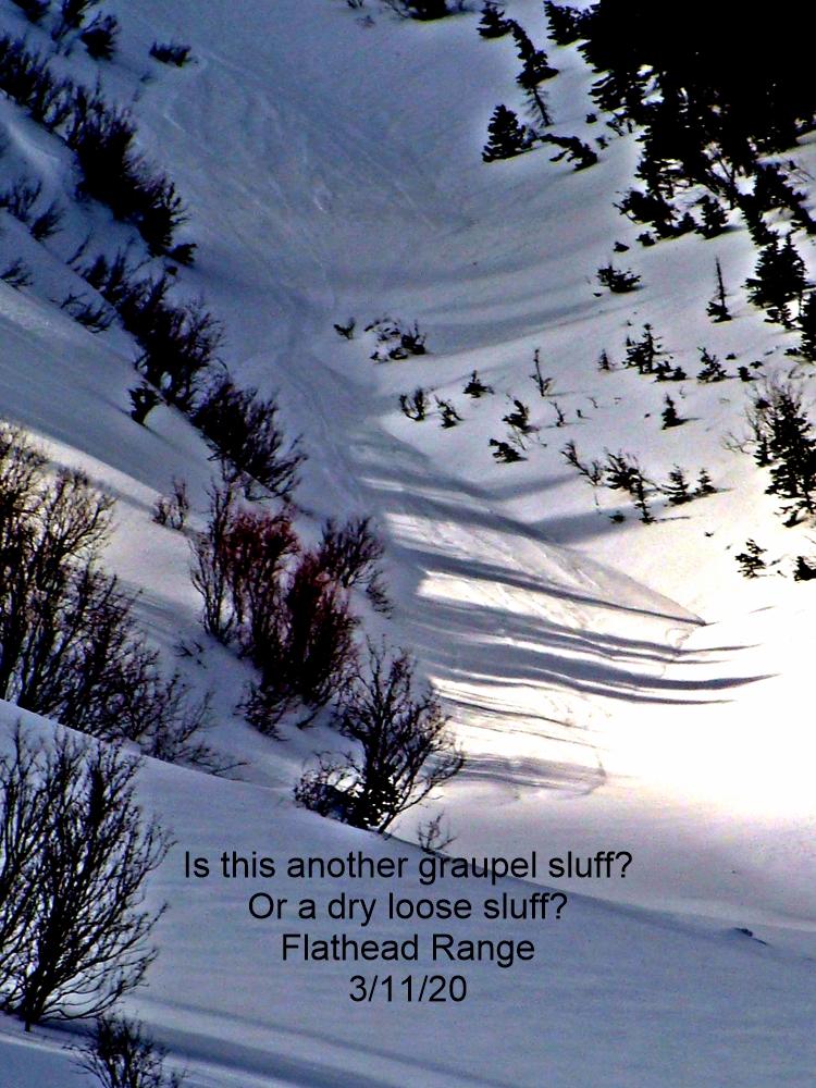
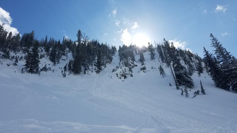
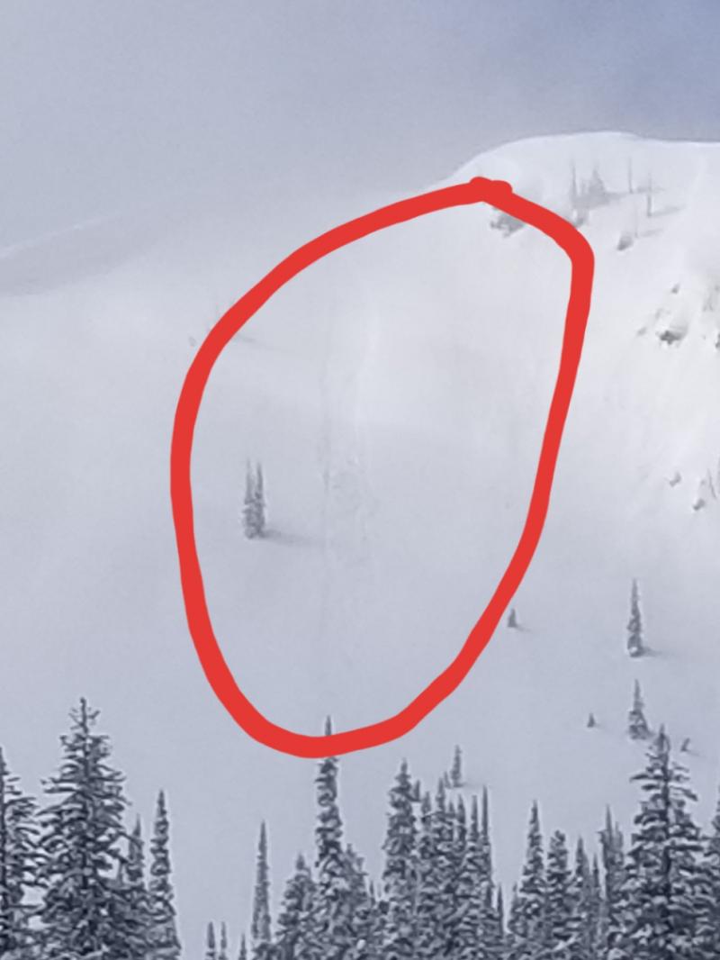
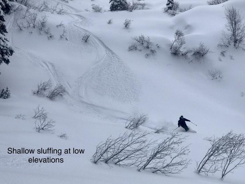
2-6” of low density, cohesionless snow could easily sluff naturally in steep terrain or under the weight of a skier or rider. Loose dry avalanches can run fast and entrain enough snow to bury you. Avoid terrain traps and be wary of overhead hazards. A slight increase in winds can transition loose snow into a cohesive slab that could be easy to trigger or run naturally. Monitor snow totals and use small test slopes to evaluate bonding of new snow to the old snow surface.
Mid-winter conditions continue with more snow and unseasonably cold temperatures. A strong arctic front moved through northwest Montana overnight while enhancing snowfall and lowering mountain temperatures into the single digits to teens F. Over the past two days, the center of the snow universe has centered around Noisy Basin which is reporting 17” and 1.5” SWE with lesser amounts (approx. 2-6”/0.5” SWE) in the Whitefish, Flathead, and GNP. Light to moderate northeast winds accompanied the frontal passage creating drifting and newly formed wind slabs on atypical slopes.
Areas favored with deeper snowfall amounts will have sensitive storm slabs that could be easily triggered by the weight of a skier or rider and could fail naturally. Low-density snow found in steeper terrain can easily sluff and entrain a large amount of snow if traveling long distances. Watch out for lens-shaped pillows on atypical slopes where thin, newly formed wind slabs may exist. Monitoring snowfall depths, wind transport, and terrain consequences are keys to avoiding avalanches today. Recent snowfall is overlapping with storm slabs that formed earlier in the week that were responsible for natural and skier-triggered avalanches. Be diligent in your snowpack assessment and use cracking in the surface snow and recent avalanche activity as bulls-eye data of instability.
East winds and snow will be on the decrease today across northwest Montana. A warm and very wet storm system is knocking at the doorstep and forecasted to arrive Saturday. Freezing levels with the next system are expected to reach 6000’ before lowering to 4500’ by Sunday morning. We can expect higher density snow with this next system and a potential increase in the avalanche danger for the weekend.
This advisory applies only to backcountry areas outside established ski area boundaries. This advisory describes general avalanche conditions and local variations always occur. This advisory expires at midnight on the posted day unless otherwise noted. The information in this advisory is provided by the USDA Forest Service who is solely responsible for its content.


