| Thursday | Thursday Night | Friday | |
|---|---|---|---|
| Cloud Cover: | Snow | Snow ending this evening | Cloudy |
| Temperatures: | 32 to 37 deg. F. | 18 to 23 deg. F. | 35 to 40 deg. F. |
| Wind Direction: | W | SW | S |
| Wind Speed: | 5 to 10 mph | 5 to 10 mph with gusts 15 mph | 0 to 5 mph |
| Snowfall: | 2 to 4 in. | 0 in. | 0 in. |
| Snow Line: |
Whitefish Range
Swan Range
Flathead Range and Glacier National Park
How to read the forecast
The danger will rise to MODERATE today as snowfall starts to form shallow storm slabs over a variety of snow surfaces. Be cautious around terrain traps and give cornices plenty of space when traveling along ridges or on slopes below.

2. Moderate
?
Above 6500 ft.
2. Moderate
?
5000-6500 ft.
1. Low
?
3500-5000 ft.
- 1. Low
- 2. Moderate
- 3. Considerable
- 4. High
- 5. Extreme
-
Type ?
-
Aspect/Elevation ?

-
Likelihood ?CertainVery LikelyLikelyPossible
 Unlikely
 -
Size ?HistoricVery LargeLargeSmall

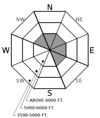
Up to 3” of dense snow fell overnight. Snowfall continues today and will start to form shallow storm slabs at mid and upper elevations. Thin slabs will be developing over a stout sun crust on sunny aspects and consolidated powder or multiple layers of surface hoar in the upper snowpack on shady aspects. Surface instabilities can be evaluated by monitoring snow totals and testing in hand pits or smaller slopes. As snow accumulates today, anticipate these slabs to become more widespread and be cautious around terrain traps. Look for cracks in the snow surface as a sign of instability.
-
Type ?
-
Aspect/Elevation ?
-
Likelihood ?CertainVery LikelyLikelyPossible
 Unlikely
 -
Size ?HistoricVery LargeLargeSmall

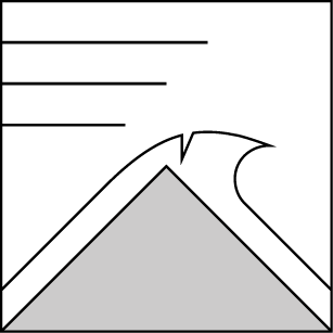
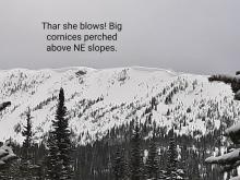
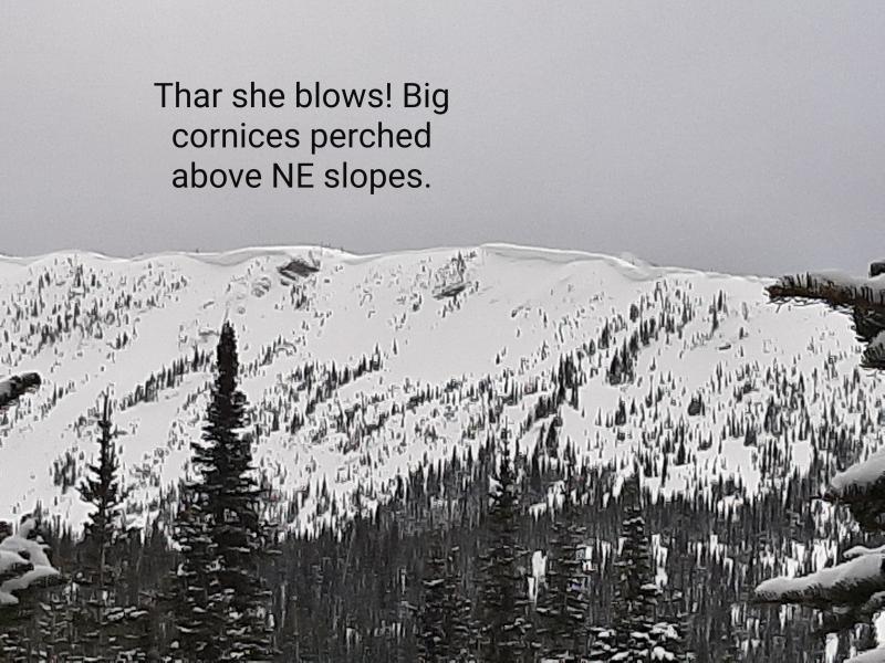
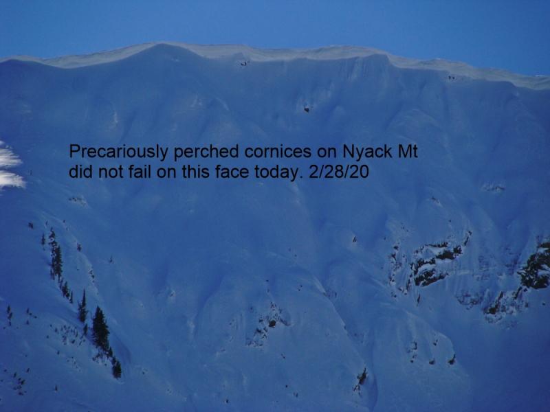
The warm and sunny weather earlier in the week created scary cornice cracks and several destructive cornice falls. Theses overhanging masses of snow on leeward ridgelines were stressed by the prolonged warmup and will receive additional stress today from snowfall. Reduce your exposure to these HUGE cornices by choosing routes that give you plenty of room along ridgelines and watch overhead when traveling through mid-elevations below them.
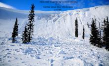
No one likes to be stuck in a rut and today, we break out of that rut and return to cooler weather with snow. Earlier this week, the snowpack went through a rollercoaster of warm, sunny days and cold, hard freezes at night. This allowed the snowpack to gain strength but, in the wake, it left us with a variety of snow surfaces for surface instabilities to develop on. Sunny aspects harbor a stout sun crust and shaded aspects at mid and upper elevations have a mixture of consolidated powder and multiple surface hoar layers in the upper snowpack. A recently buried surface hoar layer 6 to 12” deep on a few shaded slopes has produced small but unexpected instabilities this past week (Example A, Example B).
Up to 3”/0.5” SWE fell overnight at Noisy Basin while most other mountain stations reported no new precipitation. Snowfall today will be favored along the Continental Divide and the southern end of our forecast area. Snowfall amounts don’t look overly impressive but will start to form surface instabilities at mid and upper elevations. These can be managed by evaluating storm totals and using hand pits or smaller slopes to monitor new snow bonding to the old snow surface. Winds remain light to moderate throughout the storm but keep an eye out for lens-shaped pillows below ridgelines and on steep convex or cross-loaded terrain where deeper drifts could exist. As snow accumulates today, where the most recently formed surface hoar gets buried, human triggering will be most likely.
An observer earlier in the week spotted several large cornice falls that produced far-running debris, and I found an unnerving crack opening up along a corniced ridgeline (photo). Give these HUGE overhanging masses of snow a wide buffer while were in another loading period following a prolonged warmup.
Don't miss out on our final two avalanche education lectures this season at Penco Power Products in Kalispell and Whistling Andy Distillery in Bigfork. Thanks to all who participated in our avalanche education program this season and we're already planning next years line-up!
Moisture started moving into the forecast area early this morning and will spread northward throughout the day. Upper elevation temps will be in the mid to upper 20 F today with snow levels hovering around 3000-3500'. Winds are forecasted to be light to moderate out of the west-southwest with gusts approaching 25 mph at mid/ upper elevations. Highest snowfall amounts are expected near the Continental Divide and south, with snowfall ending by early this evening. We can anticipate 5-9" of snow and 0.6-0.8" SWE.
This advisory applies only to backcountry areas outside established ski area boundaries. This advisory describes general avalanche conditions and local variations always occur. This advisory expires at midnight on the posted day unless otherwise noted. The information in this advisory is provided by the USDA Forest Service who is solely responsible for its content.


