| Wednesday | Wednesday Night | Thursday | |
|---|---|---|---|
| Cloud Cover: | Warm and increasing clouds | Light rain and snow | Moderate snowfall |
| Temperatures: | 42 to 47 deg. F. | 23 to 28 deg. F. | 33 to 38 deg. F. |
| Wind Direction: | S | SW | W |
| Wind Speed: | 0 to 5 mph | 0 to 5 mph | 0 to 5 mph |
| Snowfall: | 0 in. | 0 to 1 in. | 4 to 5 in. |
| Snow Line: |
Whitefish Range
Swan Range
Flathead Range and Glacier National Park
How to read the forecast
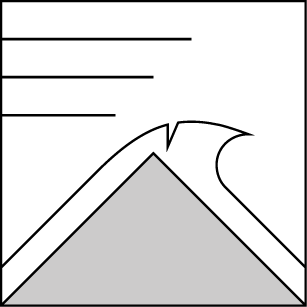
The snowpack is generally stable, but dangerously large cornices are beginning to calve off of alpine ridgelines due to prolonged warming. Give cornices plenty of space today.

2. Moderate
?
Above 6500 ft.
1. Low
?
5000-6500 ft.
1. Low
?
3500-5000 ft.
- 1. Low
- 2. Moderate
- 3. Considerable
- 4. High
- 5. Extreme
-
Type ?
-
Aspect/Elevation ?
-
Likelihood ?CertainVery LikelyLikelyPossible
 Unlikely
 -
Size ?HistoricVery LargeLargeSmall

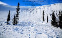
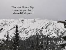
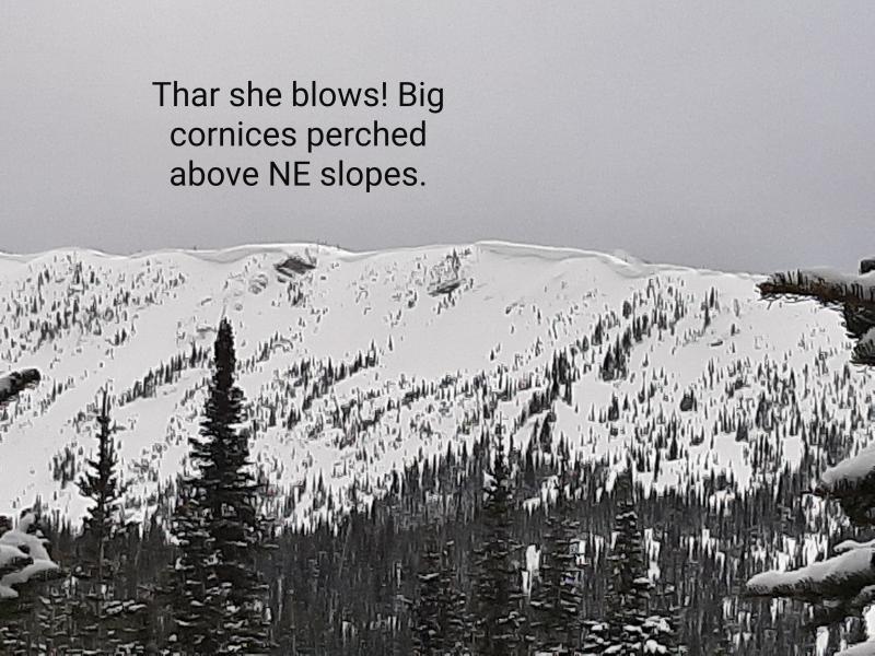
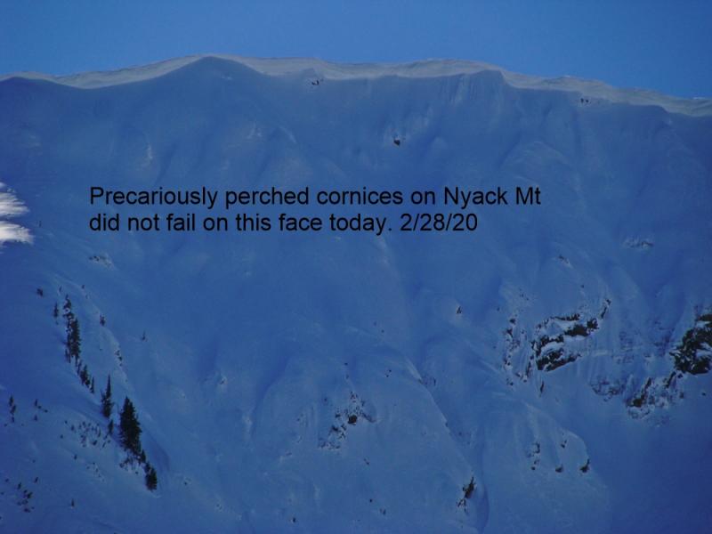
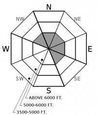
Several destructive cornice falls and unnerving cornice cracks appeared during yesterday's heat wave. Our prolonged warmup is stressing huge, overhanging masses of snow on leeward ridgelines. Cornices can fall without warning signs and the debris can run surprisingly far or trigger larger avalanches. Choose routes that reduce your exposure to cornices and give them a wide berth while traveling along ridgelines.
Our preview of spring culminated yesterday with temperatures rising to near 50F in the mountains and 60F in the valley. The snowpack caught up on its Vitamin D the last 4 days, and many slopes on the southern half of the compass shed wet loose avalanches. Yesterday, an observer spotted several large cornice falls that produced far-running debris, and Chris noted a scary cornice crack opening up along a corniced ridgeline (photo). Even though the snow surface and weather will feel cooler today, cornices need time to recover from a fever. Temperatures barely dropped below freezing in the alpine last night, and they will warm again today. Take extra precautions to minimize your exposure to cornices.
Cloud cover will increase this morning and freezing levels are expected to rise to 5,000 or 6,000 feet. The snow surface should remain relatively cool, keeping wet loose instabilities in check but making for treacherous crusty conditions on all but northerly aspects. We could see light rain later today, which would cause some rollerballs and potentially a few small wet loose avalanches on northerly facing slopes where the snowpack is still dry and powdery. Rain would help destroy the surface hoar that has been developing all week. Take note of the distribution of this weak layer as we return to more active weather. There is also a recently buried surface hoar layer 6" to 12" deep on a few shaded slopes that has produced small but unexpected instabilities this past week (Example A, Example B).
Don't miss out on our final two avalanche education lectures this season at Penco Power Products in Kalispell and Whistling Andy Distillery in Bigfork. Thanks to all who participated in our avalanche education program this season and we're already planning next years line-up!
A low-pressure system is moving onto the Pacific Coast this morning. Precipitation will spread into our region by tonight, with freezing levels starting as high as 6,000', but lowering close to the valley floor by Thursday morning. Cloud cover will increase ahead of the system. Mountain temperatures are rising into 30s this morning and will continue to climb towards 40F today. We can look forward to about half a foot of snow tomorrow under light winds.
This advisory applies only to backcountry areas outside established ski area boundaries. This advisory describes general avalanche conditions and local variations always occur. This advisory expires at midnight on the posted day unless otherwise noted. The information in this advisory is provided by the USDA Forest Service who is solely responsible for its content.


