| Thursday | Thursday Night | Friday | |
|---|---|---|---|
| Cloud Cover: | Mostly cloudy | Light snow | Snow |
| Temperatures: | 32 to 37 deg. F. | 18 to 23 deg. F. | 25 to 30 deg. F. |
| Wind Direction: | S to SE | SE to E | SE to E |
| Wind Speed: | 5 to 10 mph with 15 mph gusts | 5 to 10 mph with 20 mph gusts | 5 to 10 mph with 15 mph gusts |
| Snowfall: | 0 in. | 1 to 2 in. | 2 to 3 in. |
| Snow Line: |
Flathead Range and Glacier National Park
How to read the forecast
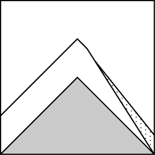
Increasing temperatures at lower elevations will make loose wet avalanches possible today. Look for roller balls, pinwheels, or tree bombs to identify warming conditions. Relatively low density, cohesionless snow exist at mid and upper elevations where sluffing is possible on slopes greater than 35 degrees.

2. Moderate
?
Above 6500 ft.
2. Moderate
?
5000-6500 ft.
2. Moderate
?
3500-5000 ft.
- 1. Low
- 2. Moderate
- 3. Considerable
- 4. High
- 5. Extreme
-
Type ?
-
Aspect/Elevation ?
-
Likelihood ?CertainVery LikelyLikelyPossible
 Unlikely
 -
Size ?HistoricVery LargeLargeSmall

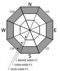
Soft, cohesionless snow combined with lower elevation temperatures rising into the mid to upper 30’s Fahrenheit will make loose wet avalanche possible today in steep terrain. These slides will initiate from shallow areas of snow, rocks or vegetation, and can entrain more snow as they travel downslope. Pinwheels or roller balls and tree bombs are signs of instability and warming air temperatures. Use caution on or below steep slopes that feed into terrain traps such as gullies or cliffs; instabilities can develop quickly.
-
Type ?
-
Aspect/Elevation ?

-
Likelihood ?CertainVery LikelyLikelyPossible
 Unlikely
 -
Size ?HistoricVery LargeLargeSmall

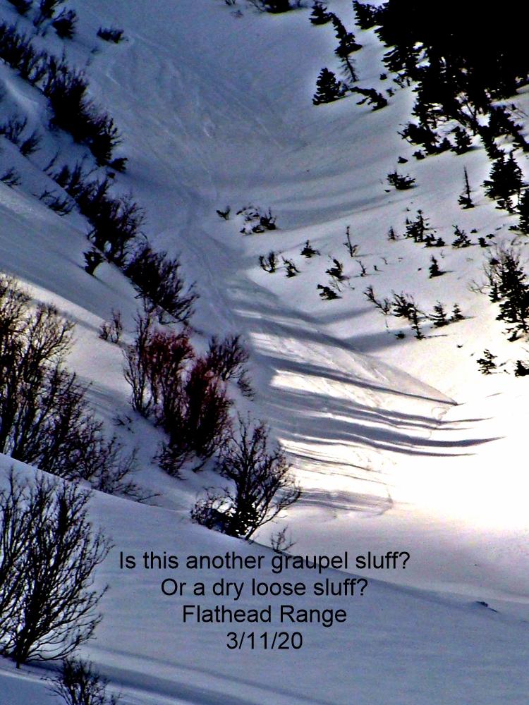
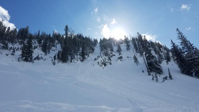
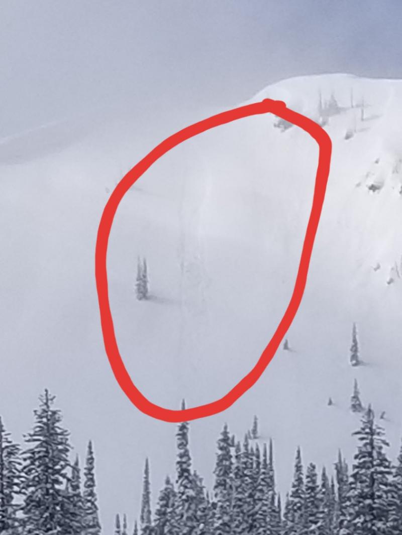
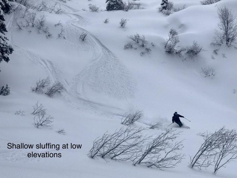
4 to 6” of relatively low density, cohesionless snow with upwards of 11" at Flattop in Glacier National Park fell over the past 2 days. Several observations from yesterday (ob 1, ob2, ob 3) highlight only minor sluffing with this problem and easy to identify and manage. Loose dry sluffs will be isolated to terrain steeper than 35 degrees at mid and upper elevations with the potential to entrain more snow as they travel downslope. Use small test slopes to evaluate new snow movement before committing to bigger slopes and small sluffs can be dangerous around terrain traps, cliffs, and gullies.
Soft, cohesionless snowfall over the past 2 days fell on denser snow found on leeward slopes and on wind-stiffened snow surfaces formed from strong southwest winds during last weekend's storm. New snow resting on a wind-stiffened surface will potentially run fast and far and these slides could entrain more snow as they move downslope. Use small test slopes to evaluate new snow movement before committing to bigger slopes.
Increasing air temperatures today will make loose wet avalanche possible at lower elevations. These slides can be dangerous around terrain traps, gullies, and cliff bands. Look for surface clues such as pinwheels, roller balls, or tree bombs as signs of instability and warming temperatures. There is some uncertainty around the exact freezing level today so pay attention to changing air temperatures as you climb up through elevation as this problem may extend into middle elevations.
A sharp decline in local deep slab avalanche activity, supplemented by a lack of explosive results at a regional scale, suggests deep instabilities are dormant under our current weather patterns. We have removed the problem for now but will bring it back when we see another big loading event or spring thaw. Forecasting for deep slabs carries a large amount of uncertainty. We remain uneasy about the potential for a cornice-fall triggered deep slab in the alpine terrain of the Flathead Range and Glacier Park. This blog post provides more insight into the problem.
A warm front is pushing north and east through the northwestern US this morning bringing light accumulations later today. Freezing levels will rise to 4,000-5,000 ft in the south and 3,000-4,000 ft in the north bringing above freezing temperatures to lower elevations today. A large low-pressure system will be ejecting moisture over northwest Montana through the weekend along with a cooling trend as well. An increase in moisture along with moderate accumulations is forecasted for Friday.
This advisory applies only to backcountry areas outside established ski area boundaries. This advisory describes general avalanche conditions and local variations always occur. This advisory expires at midnight on the posted day unless otherwise noted. The information in this advisory is provided by the USDA Forest Service who is solely responsible for its content.


