| Saturday | Saturday Night | Sunday | |
|---|---|---|---|
| Cloud Cover: | Light snow with breezy conditions | Continued light snow | Moderate snow and windy |
| Temperatures: | 18 to 23 deg. F. | 10 to 15 deg. F. | 23 to 28 deg. F. |
| Wind Direction: | W | SW | SW |
| Wind Speed: | 5 to 15 mph, gusts to 30 | 5 to 15 mph, gusts to 35 | 10 to 20 mph, gusts to 40 |
| Snowfall: | 1 to 3 in. | 1 to 3 in. | 5 to 7 in. |
| Snow Line: |
Whitefish Range
Swan Range
Flathead Range and Glacier National Park
How to read the forecast
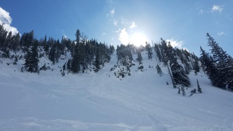
The return of light snow and southwest winds are forming thin storm slabs on a variety of surfaces. Slabs will be thickest and most reactive on leeward aspects at upper elevations. Slides may travel long distances due to the underlying firm bed surface. Use caution while riding above terrain traps and long-running gullies. Surface cracking and collapsing is a sign of a sensitive slab.

2. Moderate
?
Above 6500 ft.
2. Moderate
?
5000-6500 ft.
1. Low
?
3500-5000 ft.
- 1. Low
- 2. Moderate
- 3. Considerable
- 4. High
- 5. Extreme
-
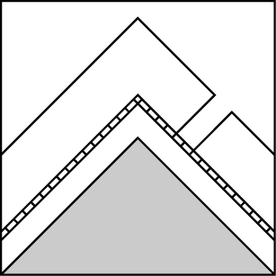
Type ?
-
Aspect/Elevation ?

-
Likelihood ?CertainVery LikelyLikelyPossible
 Unlikely
 -
Size ?HistoricVery LargeLargeSmall

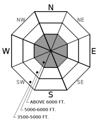
Up to 8" of low-density snowfall overnight and moderate southwest winds are forming thin storm slabs at mid and upper elevations. Slabs are forming on a variety of surfaces including scoured windboard and the 2/8 rain crust on east aspects, low-density snow in sheltered locations and wind slabs on west aspects. Slabs will form throughout the day and be thickest and most reactive on leeward aspects at upper elevations. Utilize hand pits to see how the new snow is bonding with the underlying layer. Cracking under your feet or machine is an obvious sign of a tender slab. Slides have the ability to travel long distances on the underlying firm bed surface. Use caution above gullies and terrain traps.
-
Type ?
-
Aspect/Elevation ?
-
Likelihood ?CertainVery LikelyLikelyPossible
 Unlikely
 -
Size ?HistoricVery LargeLargeSmall

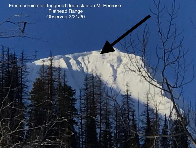
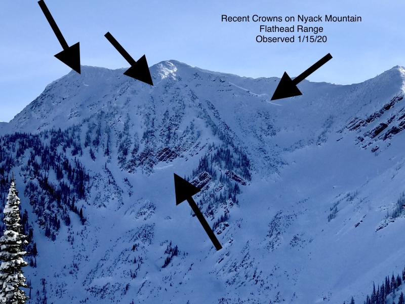
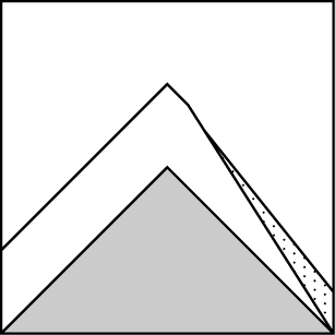
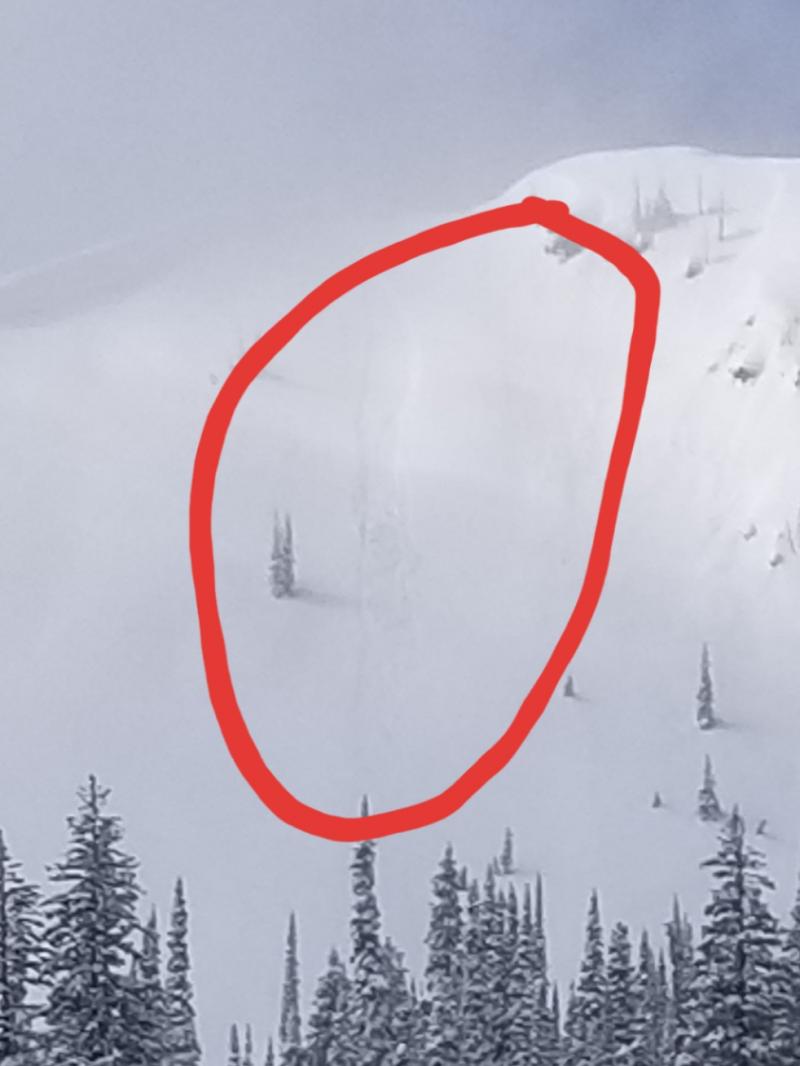
Deep slabs remain a low likelihood, high consequence problem. We have limited observations of deep slabs failing naturally during the last storm cycle and confined to the Flathead Range. These large and deadly avalanches are becoming more stubborn to human triggers as snow depths increase. Deep slabs are most likely triggered from shallow, rocky terrain or cornice falls in alpine terrain. Choose slopes well anchored by trees or supported by concave terrain features along with deep, uniform snow cover at higher elevations. This blog post provides more insight into the problem.
-
Type ?
-
Aspect/Elevation ?

-
Likelihood ?CertainVery LikelyLikelyPossible
 Unlikely
 -
Size ?HistoricVery LargeLargeSmall

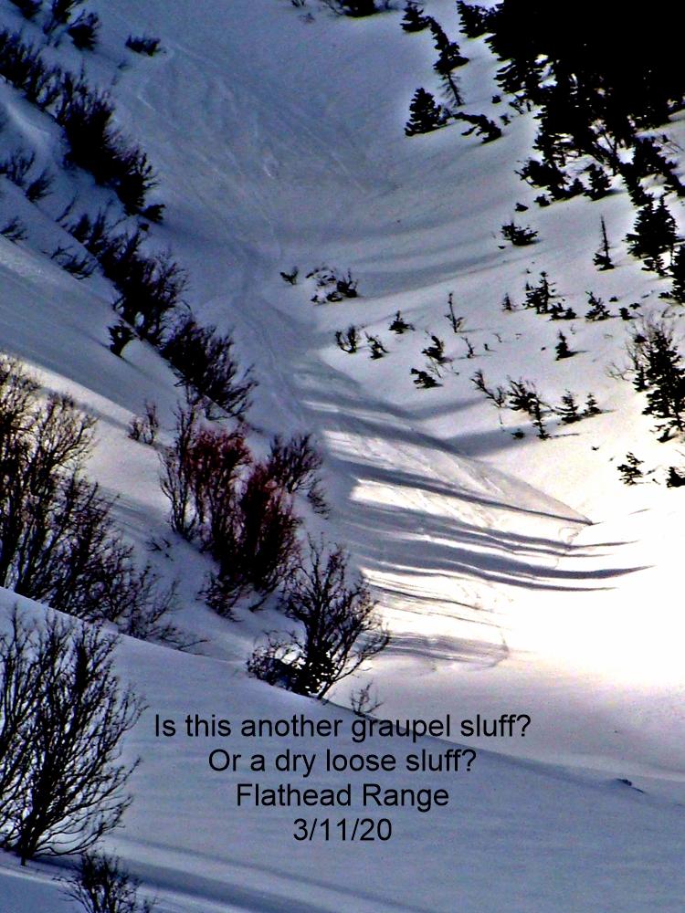
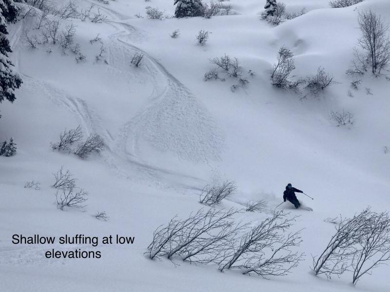
Low-density snowfall overnight and through the day will increase the risk of loose dry slides. New snow is falling on a variety of firm surfaces formed during last weekends blizzard. Use caution while recreating above terrain traps and long-running gullies.
After a 5 day hiatus, snow and southwest winds returned to our area yesterday. Most upper elevation stations have seen 4-8" of new snow except for the eastern portion of our area where stations in John F. Stevens are reporting no new snow. Moderate sustained wind with strong gusts has been recorded at Hornet in the northern Whitefish Range and at Snowslip in John F. Stevens Canyon over the past 24 hours. Due to single digit temperatures, the current storm is depositing low-density snow at mid and upper elevations. With temperatures remaining cold the snow surface may remain incohesive in sheltered locations. Expect conditions to change on leeward aspects where southwest winds are forming and thickening storm slabs. Slabs are forming on a variety of firm surfaces formed during last weekends blizzard. We expect the new loose snow and slabs to have a poor bond with the underlying surface. Resulting slides may travel long distances. Make a mental note of surface conditions today before a more robust storm enters our area tomorrow. We expect the avalanche hazard to increase at all elevations due to forecasted moderate snow and strong southwest winds.
Light snow and breezy southwest winds entered our area yesterday and overnight. Expect continued light snow and southwest winds through the day and tonight before a more robust system enters our area tomorrow. Temperatures will moderate throughout the storm but snow levels will remain below valley floors.
This advisory applies only to backcountry areas outside established ski area boundaries. This advisory describes general avalanche conditions and local variations always occur. This advisory expires at midnight on the posted day unless otherwise noted. The information in this advisory is provided by the USDA Forest Service who is solely responsible for its content.


