| Saturday | Saturday Night | Sunday | |
|---|---|---|---|
| Cloud Cover: | Partly clear | Partly cloudy | Increasing clouds in the afternoon |
| Temperatures: | 19 to 24 deg. F. | 9 to 14 deg. F. | 18 to 23 deg. F. |
| Wind Direction: | W | SW | ENE |
| Wind Speed: | 1 to 10 mph, gusting to 20 mph | 5 to 10 mph | 1 to 11 mph, gusting to 20 |
| Snowfall: | 0 in. | 0 in. | 0 to 1 in. |
| Snow Line: |
Flathead Range and Glacier National Park
How to read the forecast
Benign weather is allowing our surface snowpack to gain strength with lingering storm slab instabilities at upper elevations a concern. Our snowpack remains complex with recent very large destructive avalanches failing on deeply buried weak layers. Conservative terrain selection at upper elevations is the best way to manage this unpredictable deep slab problem. Generally safer and more stable snow is found at low and mid elevations where a stout rain crust caps the surface.

3. Considerable
?
Above 6500 ft.
2. Moderate
?
5000-6500 ft.
1. Low
?
3500-5000 ft.
- 1. Low
- 2. Moderate
- 3. Considerable
- 4. High
- 5. Extreme
-
Type ?
-
Aspect/Elevation ?

-
Likelihood ?CertainVery LikelyLikelyPossible
 Unlikely
 -
Size ?HistoricVery LargeLargeSmall

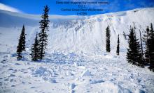
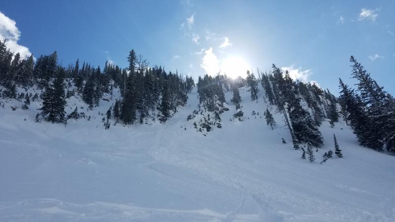
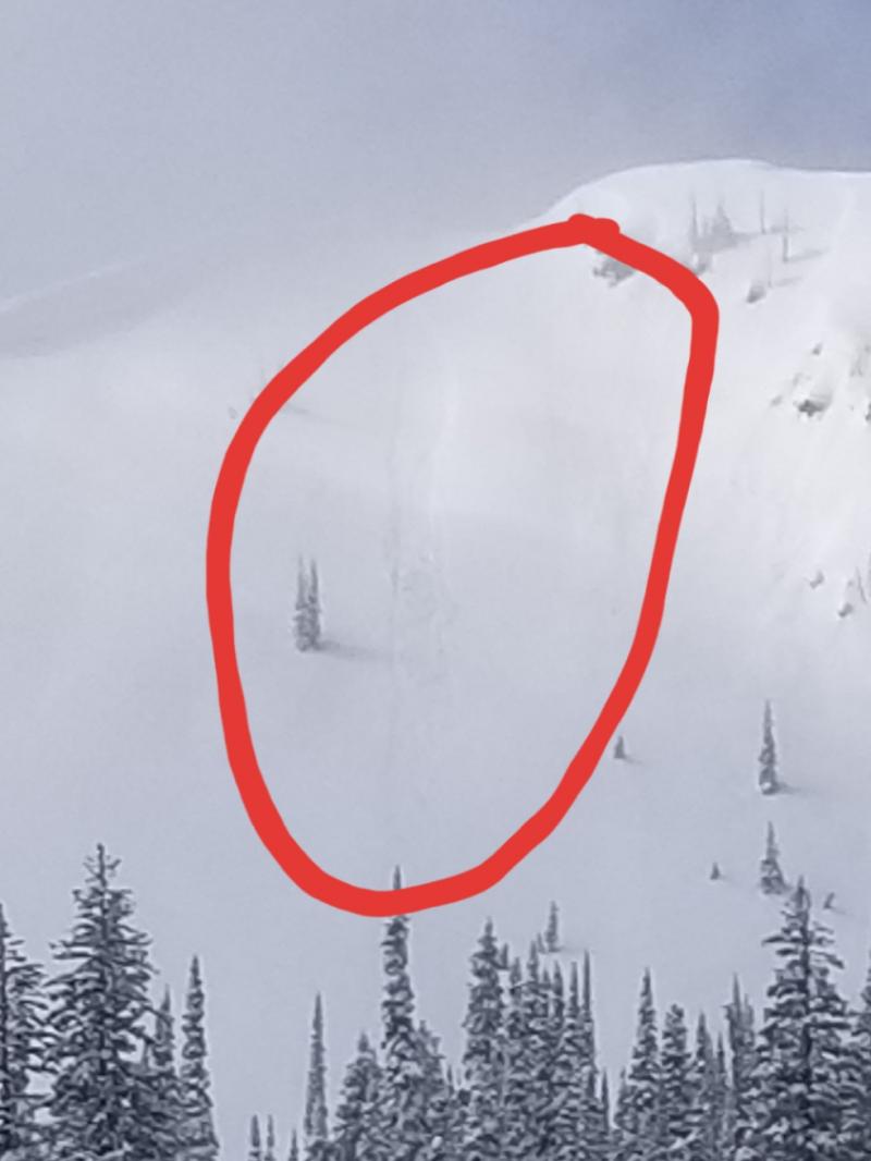
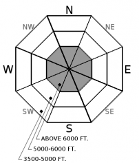
The recent potent storm resulted in a natural storm slab avalanche cycle (observation). Natural activity has ended but lingering storm slab instabilities remain, particularly on wind loaded upper elevation terrain. Observations from JFS Canyon, Rescue Creek, and Marion Lake reported size D2 storm slabs at upper elevations. Middle elevation storm slabs will be found in the eastern Flathead Range, along with southern Glacier Park, where the rain line was lower (~5500') than the rest of our area. Steep leeward terrain will be most susceptible to human triggering with surface cracking confirming that the slab is sensitive to triggering.
-
Type ?
-
Aspect/Elevation ?
-
Likelihood ?CertainVery LikelyLikelyPossible
 Unlikely
 -
Size ?HistoricVery LargeLargeSmall

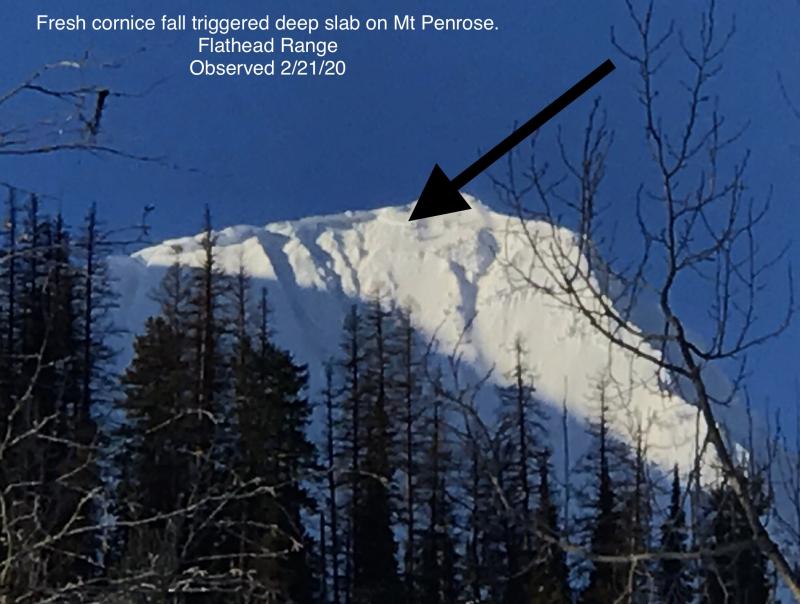
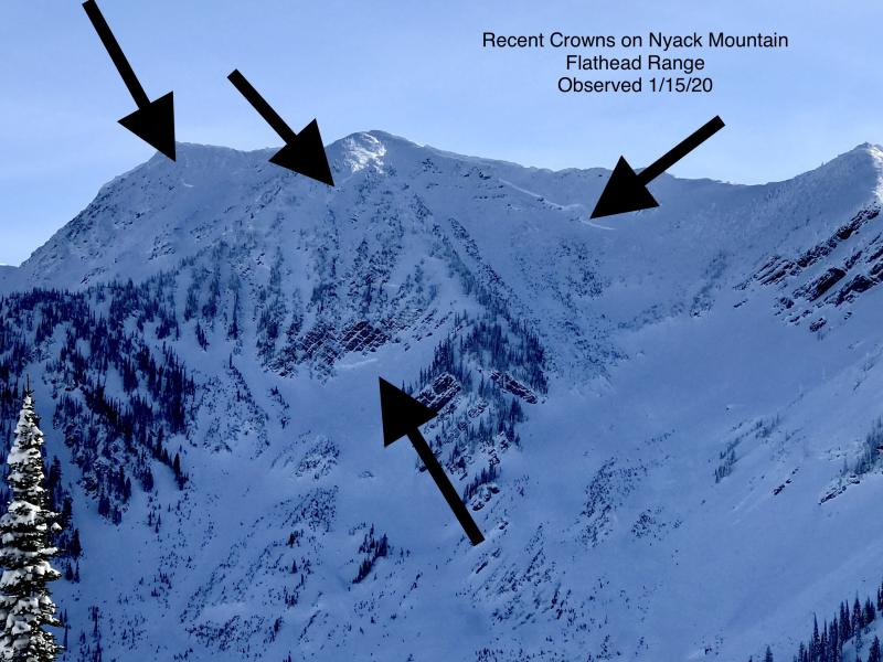
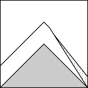
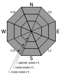
The Thanksgiving rain crust/facet combo is located near the bottom of our pack and was the weak layer responsible for recent very large destructive avalanches (observation). This layer is now buried 8-12' deep beneath a strong slab. Most avalanche activity associated with this layer has been confined to a shallow rocky snowpack on steep upper elevations. Heavy loading events and cornice fall initiated these slides while human triggering remains possible. Choosing conservative terrain is the best way to manage this unpredictable problem.
-
Type ?
-
Aspect/Elevation ?
-
Likelihood ?CertainVery LikelyLikelyPossible
 Unlikely
 -
Size ?HistoricVery LargeLargeSmall

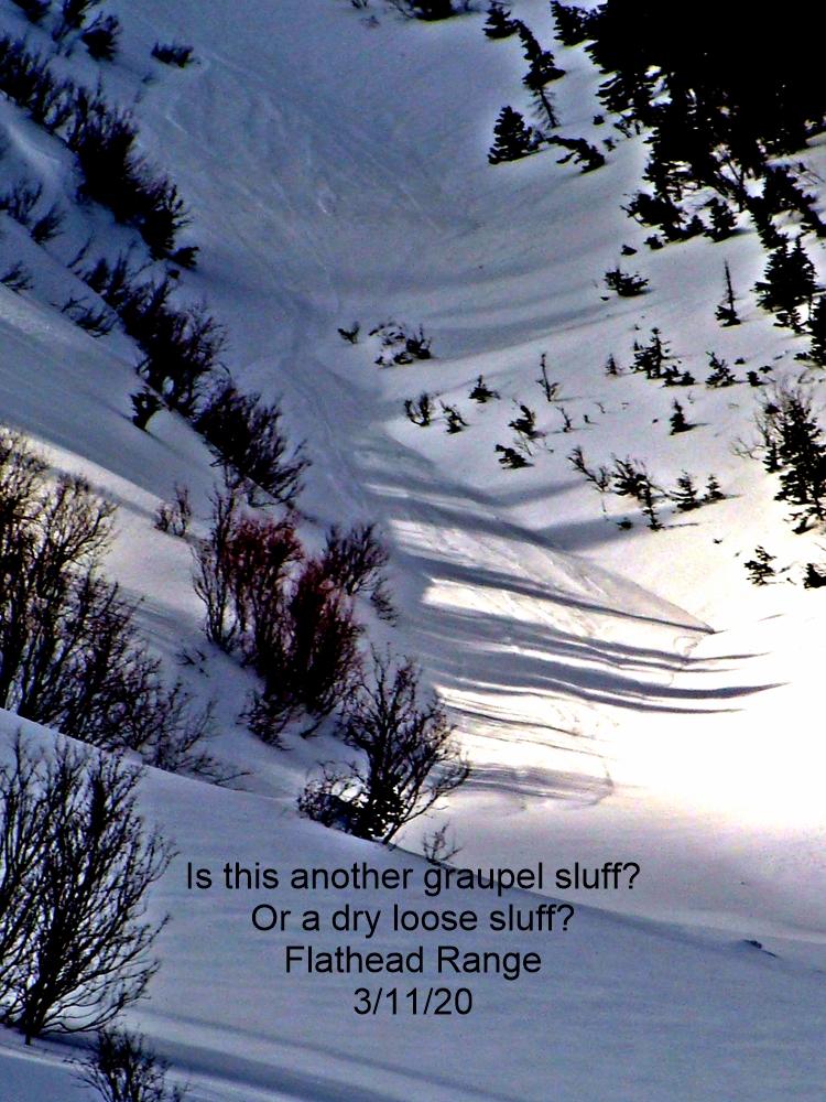
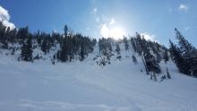
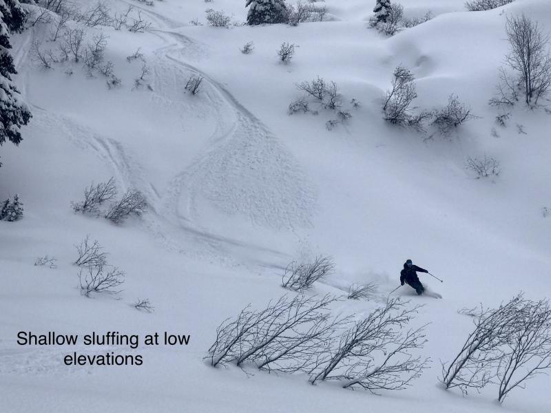
Our recent storm ended with an arctic air mass depositing low-density snow. At low and mid elevations this snow is resting on a stout rain crust which will act as a slippery bed surface. At upper elevations up to 14" of new snow rest on a variety of surfaces. It will be possible to trigger loose slides which have the potential to travel long distances. As the day progresses solar input may initiate these slides. Traveling above terrain traps is not recommended.
The potent storm has ended leaving us with a tale of two snowpacks. In most locations the rain line extended above 6000' leaving a stout rain crust up to 7" thick that is bridging the snow below. In these areas snowpack stability is good and agressive riding is encouraged. Above the rain crust lingering storm slab instabilities remain along with a deep slab avalanche problem. Conservative terrain selection is still advised.
To find out more about our deep slab problem please visit our forecasters corner blog post: http://www.flatheadavalanche.org/forecast-corner
Another cool clear day is expected today, tonight and tomorrow morning before another arctic air mass invades our area tomorrow afternoon. Precipitation with the incoming storm will be light and last into Monday.
This advisory applies only to backcountry areas outside established ski area boundaries. This advisory describes general avalanche conditions and local variations always occur. This advisory expires at midnight on the posted day unless otherwise noted. The information in this advisory is provided by the USDA Forest Service who is solely responsible for its content.


