| Sunday | Sunday Night | Monday | |
|---|---|---|---|
| Cloud Cover: | Warmer with precipitation arriving this afternoon. | Mild and windy | Warm windy and dry |
| Temperatures: | 27 to 32 deg. F. | 25 to 29 deg. F. | 36 to 41 deg. F. |
| Wind Direction: | W | SW | SW |
| Wind Speed: | 1 to 11 mph | 5 to 15 mph, gusting 33 | 10 to 20 mph, gusting to 45 |
| Snowfall: | 2 to 3 in. | 2 to 3 in. | 0 to 1 in. |
| Snow Line: |
Whitefish Range
Flathead Range and Glacier National Park
How to read the forecast
Overnight, relatively warm dense snow fell on lower density snow creating an unstable storm slab. Warming temperatures, combined with a rain/snow mix, will increase the loose wet hazard at low and mid elevations as the day progresses. A variety of crusts and weak layers exist in our snowpack which are being stressed from this weeks loading, possibly resulting in a large avalanche. Choosing lower angle terrain is recommended today while noting surface cracking and rollerball activity.

3. Considerable
?
Above 6500 ft.
3. Considerable
?
5000-6500 ft.
2. Moderate
?
3500-5000 ft.
- 1. Low
- 2. Moderate
- 3. Considerable
- 4. High
- 5. Extreme
-
Type ?
-
Aspect/Elevation ?
-
Likelihood ?CertainVery LikelyLikelyPossible
 Unlikely
 -
Size ?HistoricVery LargeLargeSmall

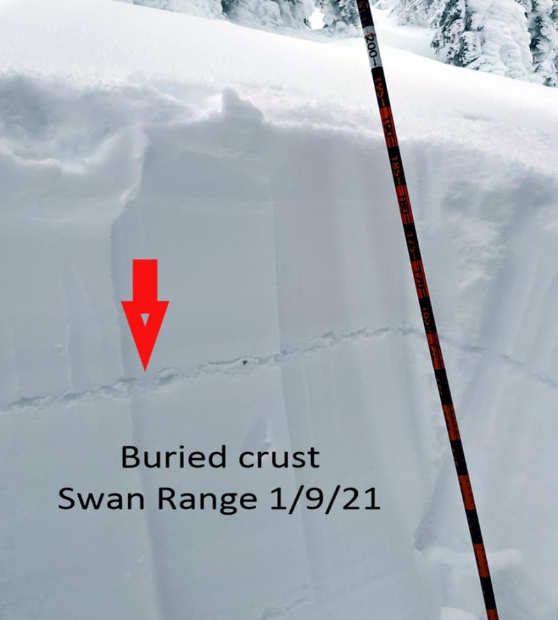
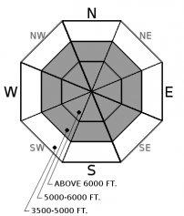
Yesterday's storm deposited up to 10" of new snow on top of the substantial load accumulated daily since Wednesday. Temperatures warmed in the afternoon and overnight increasing the density of the new snow and leaving us with an inverted snow surface. Continued warming, combined with wind and another round of moisture, will add weight to recently formed storm slabs. These slabs are resting on lower density snow and may be more reactive than experienced over the past few days. At low and mid elevations recent snow is resting on a variety of crusts which may act as a slippery bed surface. Look for dense surface snow and utilize hand tests to see how it bonds to the underlying layer with cracking in the surface snow a tell tale sign of storm slab instability. Avoid riding above terrain traps and convexities while testing small slopes before going into steeper terrain. Anticipate thicker slabs on leeward sides of ridges and in gullies.
-
Type ?
-
Aspect/Elevation ?
-
Likelihood ?CertainVery LikelyLikelyPossible
 Unlikely
 -
Size ?HistoricVery LargeLargeSmall

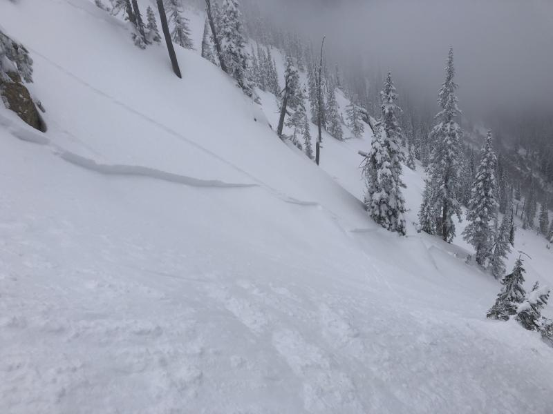
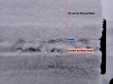
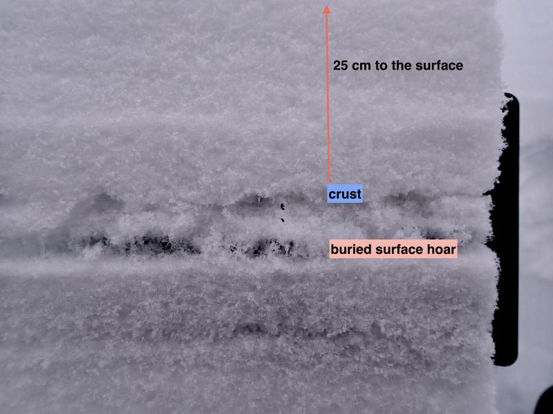
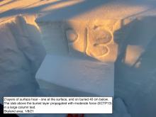
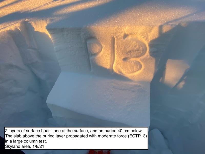
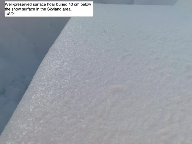
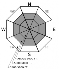
This weeks snowfall has buried weak faceted snow, surface hoar and crusts 3-5' below the snow surface. We have had few reports of avalanches on these layers but stability tests still indicate that some of these layers have the ability to propagate with potential avalanche size increasing with continued snowfall (see observation). The slabs overlying these layers are not uniformly thick with thin areas, such as rock outcrops and the edges of the slab, being most susceptible to human triggering. Digging is the only way to identify which slopes contain these persistent weak layers and when in doubt it is best to default to lower angle slopes and less consequential terrain. Surface clues to instability are isolated to cracking and collapsing in the snow beneath you or your machine.
Deep slab avalanches failing near the ground on the Thanksgiving and December 17 rain crust/faceted layer remains a low likelihood, high consequence concern in the Flathead and northern Whitefish Ranges. This is a difficult problem to forecast and managing terrain choices is your best weapon to avoid a very large and destructive avalanche. Deep slabs are most likely to be triggered on upper elevation slopes containing variable snow depths and rocky terrain. They can be triggered from less steep areas on adjacent slopes and below steep terrain. Snowpack assessment for deep weak layers is challenging and careful terrain selection is important. Deep slab avalanches are found at upper elevations on all aspects with the likelihood of triggering rated unlikely.
-
Type ?
-
Aspect/Elevation ?
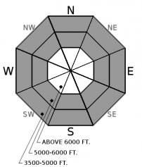
-
Likelihood ?CertainVery LikelyLikelyPossible
 Unlikely
 -
Size ?HistoricVery LargeLargeSmall

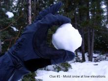
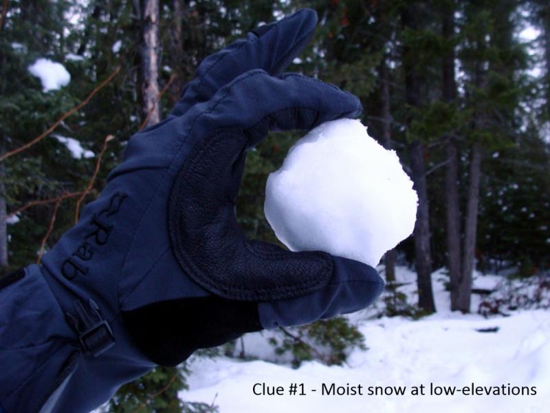
Deep unconsolidated snow exists at all elevations. With today's anticipated warming and potential rain, loose wet avalanches have returned as a problem. This problem will increase as the day progresses with the first sign of unstable surface snow being rollerballs and pinwheels. At low elevations the surface snow is resting on a stout crust which may allow loose wet snow to travel long distances and entrain a fair bit of snow. We recommend not recreating on slopes steeper than 35º or above terrain traps after the snow surface moistens. A tell tale sign of warming are tree bombs unloading from trees as they warm.
January is going out with a bang...24 hour precipitation totals: WMR 10”/ 0.7” SWE in the southern Whitefish Range, Stahl Peak 3"/0.3" SWE in the northern Whitefish Range, 4”/ 0.4” SWE at Noisy Basin in the Swan Range, 3-5”/ 0.50” SWE in the valley floor of John F. Stevens Canyon, Shed 7 10" and Pike Creek 10"/0.7" SWE. Snow water equivalent (SWE) totals for the past 4 days: Noisy Basin 3.7", Flattop 2.5" and Stahl 2.3". Southwest winds increased overnight with Hornet, in the northern Whitefish Range, recording sustained winds up to 21 mph (high) gusting to 47 (extreme) and Snowslip, in John F. Stevens, reporting a maximum of 14 mph (moderate) sustained gusting to 33 (high).
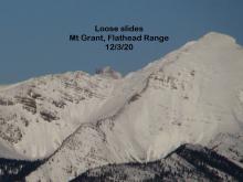
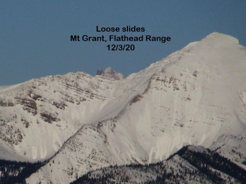
After 4 days of substantial snowfall our concern today shifts to the warm air that is entering our area. The density of new snowfall in the afternoon and overnight hours increased and has left us with an "upside down" snow surface structure. Today's mild temperatures, combined with light mixed precipitation, has forced us to increase the hazard to CONSIDERABLE for our mid elevations where dense snow rests above a variety of crusts and weak layers. Wet loose slides at low and mid elevations will increase as the day warms and precipitation arrives. Rollerballs/pinwheels are the first signs of wet loose slides. Avoiding recreating above terrain traps and on convexities.
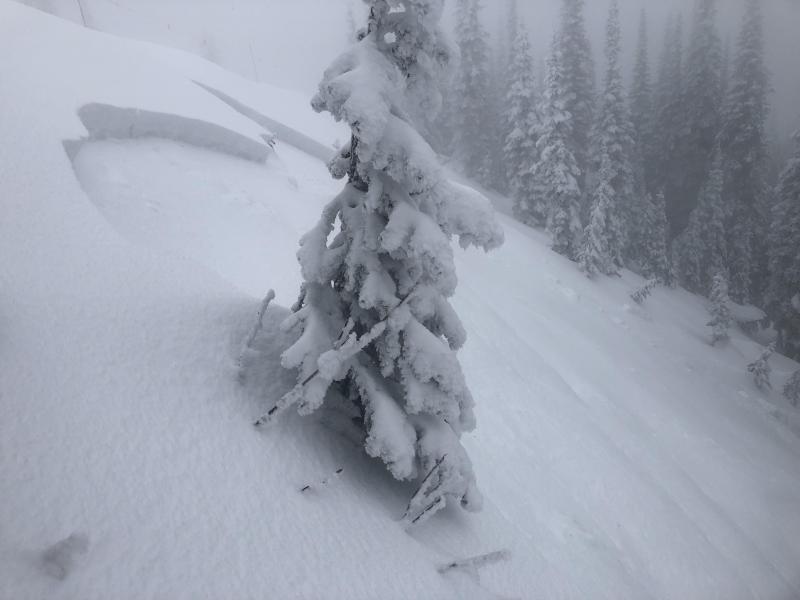
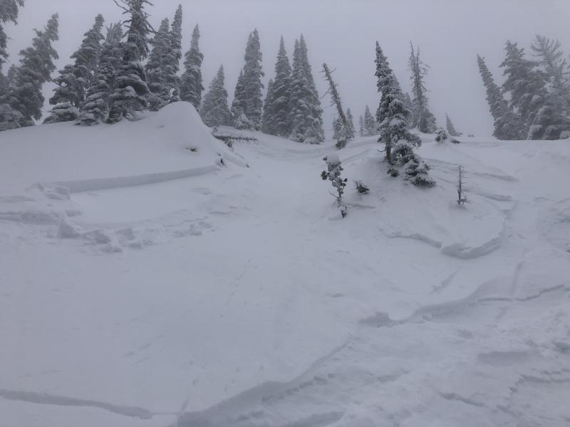
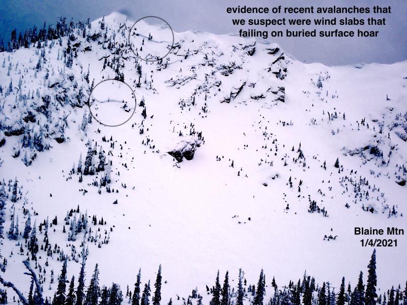
Friday, we received a report of a large natural slab avalanche on Nyack Mountain in Rescue Creek, Flathead Range. This avalanche traveled 3000'+ to the valley floor and occurred in the same avalanche path where a large persistent slab avalanche failed January 12 or 13 (see observation). Weather stations and field observations confirm moderate winds with strong gusts produced substantial transport of snow which likely triggered this slide. The failure layer is unknown but we are assuming this slide ran on the bed surface of the previous slide which was the Thanksgiving crust/facet layer.
Warming temperatures throughout the day with light to moderate southwest winds and periods of light mixed precipitation this afternoon. Light precipitation continues through the evening before a short lived drying trend tomorrow.
This advisory applies only to backcountry areas outside established ski area boundaries. This advisory describes general avalanche conditions and local variations always occur. This advisory expires at midnight on the posted day unless otherwise noted. The information in this advisory is provided by the USDA Forest Service who is solely responsible for its content.


