THIS AVALANCHE FORECAST EXPIRED ON December 23, 2017 @ 12:04 am
Avalanche Forecast published on December 22, 2017 @ 7:04 am
Issued by Chris Bilbrey - Flathead Avalanche Center

Whitefish Range
Swan Range
Flathead Range and Glacier National Park

How to read the forecast

Dangerous avalanche conditions exist as additional snowfall overnight added more stress to an already fragile snowpack. Large and destructive human triggered slab avalanches are likely on slopes greater than 30 degrees. Heads up for loose dry avalanches running fast and far in steeper terrain with the potential of triggering persistent slabs.

3. Considerable

?

Above 6500 ft.
Dangerous avalanche conditions. Careful snowpack evaluation, cautious route-finding and conservative decision-making essential.

3. Considerable

?

5000-6500 ft.
Dangerous avalanche conditions. Careful snowpack evaluation, cautious route-finding and conservative decision-making essential.

3. Considerable

?

3500-5000 ft.
Dangerous avalanche conditions. Careful snowpack evaluation, cautious route-finding and conservative decision-making essential.
    Dangerous avalanche conditions. Careful snowpack evaluation, cautious route-finding and conservative decision-making essential.
  • 1. Low
  • 2. Moderate
  • 3. Considerable
  • 4. High
  • 5. Extreme
Avalanche Problem 1: Persistent Slab
  • Type ?
  • Aspect/Elevation ?
  • Likelihood ?
    Certain
    Very Likely
    Likely
    Possible
    Unlikely
  • Size ?
    Historic
    Very Large
    Large
    Small

6-11” of low density snowfall overnight adds additional  load to reactive persistent slabs. The new snow continues to thicken these 2 to 4 foot cohesive slabs above a mix of persistent weak layers such as surface hoar, facets, and crusts. These slabs are found on all aspects and elevations, but are deeper and more widespread at mid and upper elevations. Observations throughout the week of triggered slides, collapsing, and shooting cracks are clear evidence that these dangerous slabs remain sensitive to human triggers. Persistent slabs can be triggered from below a steep, connected slope producing remarkably wide propagation. Carefully assess the snowpack to determine if a slope holds this slab over weak layer structure and avoid traveling on or below these slopes.

Avalanche Problem 2: Loose Dry
  • Type ?
  • Aspect/Elevation ?
  • Likelihood ?
    Certain
    Very Likely
    Likely
    Possible
    Unlikely
  • Size ?
    Historic
    Very Large
    Large
    Small

Last night’s 6-11” of low density, cohesionless snowfall will easily sluff in steep terrain, naturally or under the weight of a skier or rider. Loose dry avalanches can run fast and entrain enough snow to bury you. They also have potential to trigger larger and more destructive persistent slabs in certain conditions. Use conservative route-finding avoiding terrain traps and be wary of overhead hazards.  If winds increase, this loose new snow could quickly form into a cohesive slab that will be easy to trigger or run naturally.

Forecast discussion

Overnight storm totals of 10”/ 0.5 Snow Water Equivalent (SWE) in the Whitefish Range, 11”/ 0.8 SWE at Noisy Basin, 4-9”/ 0.3-0.9 SWE in the Flathead Range, and 8”/ 0.5 SWE in Glacier National Park was accompanied by light southwest to west wind that have shifted to the northeast to east this morning. Last night’s low density snowfall isn’t the same staggering load that provided the shock-load to our weak snowpack structure like our previous storm. However, additional snowfall continues to thicken our 2 to 4 foot cohesive slabs sitting on top of a variety of well documented persistent weak layers (photo 1, photo 2) found on all aspects and elevations. Human triggering remains likely on slopes that haven’t recently avalanched and hold a slab over weak layer structure. Persistent slabs can be triggered remotely from low angled terrain propagating upward into steeper terrain and as well, from loose dry avalanches running fast and far in steeper terrain while entraining large volumes of snow. Use patience, discipline, and conservative decision-making when traveling near avalanche terrain and runouts. Pay attention to obvious signs of instability such as collapsing and shooting cracks while having an eagle eye for loose dry avalanches running from upper elevation terrain down into our mid and lower elevation zones. 

Join us at Stumptown Snowboards in Whitefish on January 3 at 7:00 pm for a free, engaging, and entertaining 1 hour avalanche awareness presentation. Details here

Weather and CURRENT CONDITIONS
weather summary

A cold front is currently positioned along the US/ Canada border at 4 am. Overnight, winds shifted from yesterday’s southwest to west flow and are currently light out of the northeast to east. Cold front is forecasted to move south over northwest Montana around mid-morning and will continue its southward progression throughout the day on Friday. Snowfall will taper behind the front along with an intrusion of cold, arctic air. We can expect an additional 2-4” of low density snow by mid-day Friday followed by the coldest temperatures of the season on Saturday and Sunday morning.

Two-Day Mountain Weather Forecast Produced in partnership with the Missoula NWS
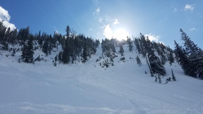
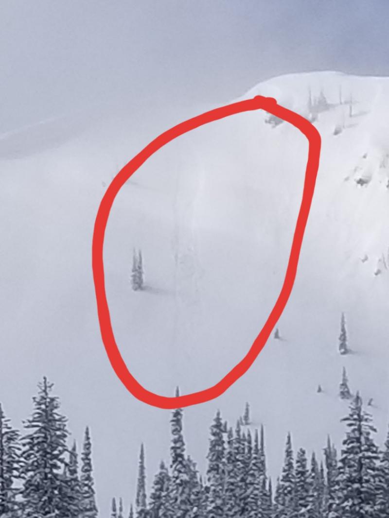
For 5000 ft. to 7000 ft.
Friday Friday Night Saturday
Cloud Cover: Snow coming to an end by mid-day. Clear and cold. A few clouds and cold.
Temperatures: 10 to 15 deg. F. -5 to 0 deg. F. 5 to 10 deg. F.
Wind Direction: NE NE NW
Wind Speed: 5 to 15 mph with gusts of 25 mph 5 to 15 mph with gust of 25 mph 0 to 10 with gusts of 20 mph
Snowfall: 1 to 3 in. 0 in. 0 in.
Snow Line:
Disclaimer

This advisory applies only to backcountry areas outside established ski area boundaries. This advisory describes general avalanche conditions and local variations always occur. This advisory expires at midnight on the posted day unless otherwise noted. The information in this advisory is provided by the USDA Forest Service who is solely responsible for its content.