| Thursday | Thursday Night | Friday | |
|---|---|---|---|
| Cloud Cover: | Inversion below stratus clouds | Inversion below stratus clouds | Cool and mostly cloudy with snowfall starting in the afternoon |
| Temperatures: | 20-25 deg. F. deg. F. | 10-15 deg. F. deg. F. | 25-30 deg. F. deg. F. |
| Wind Direction: | West to Northwest | Southwest | Southwest |
| Wind Speed: | 0-10 mph | 0-10 mph | 10-20 mph |
| Snowfall: | 0 in. | 0 in. | 0-1" by Friday afternoon in. |
| Snow Line: |
Whitefish Range
Swan Range
Flathead Range and Glacier National Park
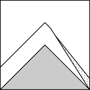
How to read the forecast
Yesterday’s short-lived snowfall event did little to change the avalanche conditions. The avalanche danger is rated LOW on all slopes with generally safe riding conditions. Keep your head up for isolated areas of unstable, loose dry snow or point releases. Evaluate the potential of a point release on small test slopes before expanding your riding terrain to steeper, more complex slopes with potentially higher consequences.

1. Low
?
Above 6500 ft.
1. Low
?
5000-6500 ft.
1. Low
?
3500-5000 ft.
- 1. Low
- 2. Moderate
- 3. Considerable
- 4. High
- 5. Extreme
-
Type ?
-
Aspect/Elevation ?
-
Likelihood ?CertainVery LikelyLikelyPossible
 Unlikely
 -
Size ?HistoricVery LargeLargeSmall

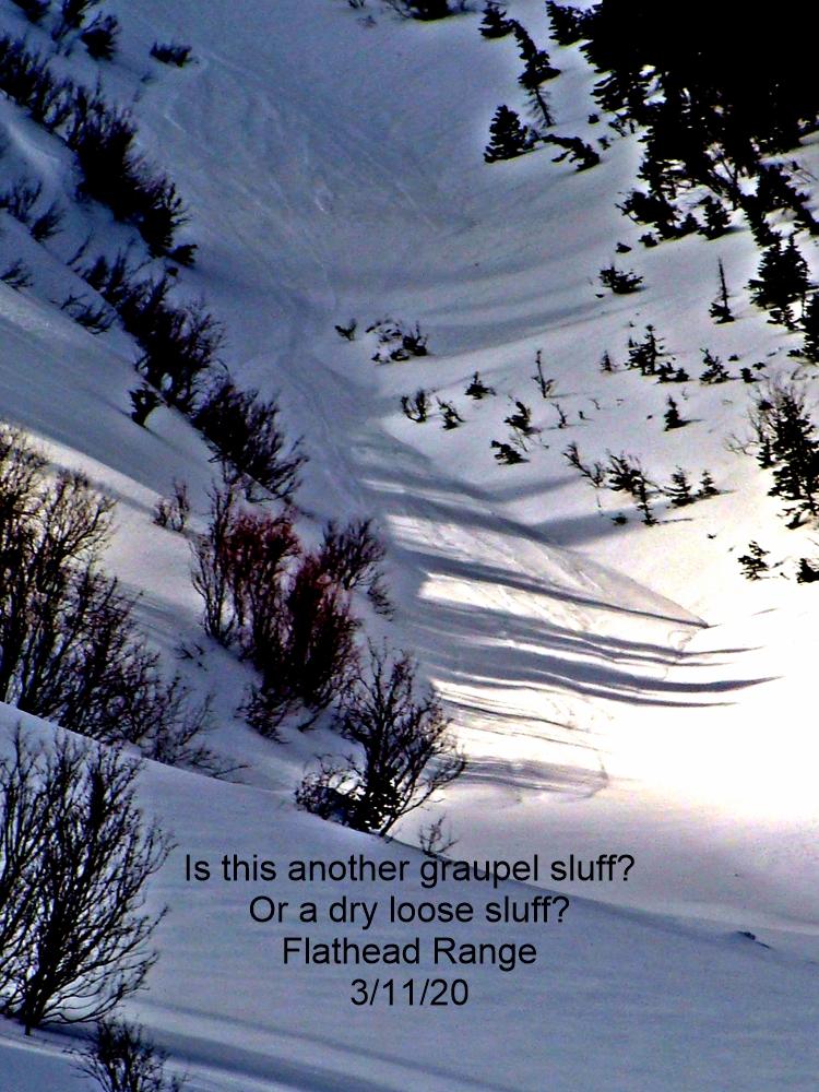
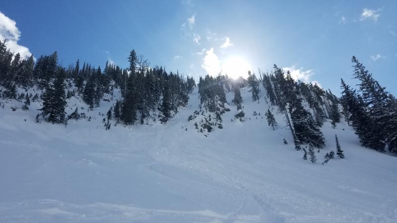
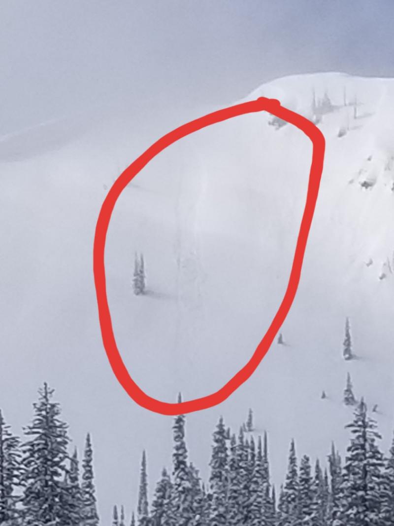
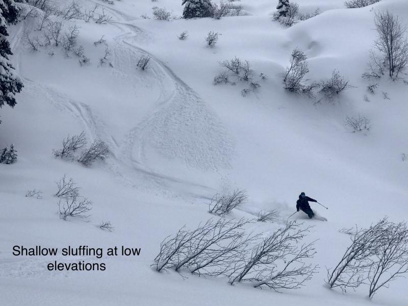
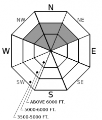
During the past week, the upper 6-12” of snow has become cohesionless and weak. The weight of a skier or rider can easily trigger a loose dry or point release “sluff” avalanche. Loose dry avalanches will be isolated to shady, wind protected slopes steeper than 40 degrees in our mid to upper elevations. These slides are generally small and harmless but can run fast and far in steep, consequential terrain. Exercise caution on slopes harboring more than 6” of loose, sugary snow sitting on top of our slick rain crust. Use small test slopes to evaluate the ease of initiating a loose dry avalanche before committing to bigger terrain.
Before yesterday’s dusting of snow, our last measureable snowfall occurred 12 days ago. During this period of clear, dry weather our snowpack has been busy forming cohesionless facets in shaded, wind sheltered terrain.
Observations throughout our advisory area have pointed to widespread surface hoar (such as this observation) and near surface facets (such as this observation) sitting on top of our buried, stout Thanksgiving rain crust. Although this metamorphic change to our snowpack is not a significant concern today, the pump is primed for an active avalanche cycle when snowfall and wind return burying our facet, feathery friends. While traveling and riding during times of high pressure and generally safe snowpack conditions, it’s extremely important to pay attention to changes at the snow surface and store that info in your back pocket. Having this knowledge is like knowing another players cards in a poker game, giving you insight into what their next play is.
Although the size and distribution of loose dry avalanches for today is small and isolated to shady, wind sheltered terrain, small sluffs can run fast and far and have grave consequences in the wrong terrain. Especially if they drag you into trees, rocks, or over cliffs. This is not the time to let your guard down. Travel one at a time in avalanche terrain and always carry rescue gear.
Thanks to everyone for submitting observations as this helps make our a more accurate product.
We can expect one more day of stable and dry conditions before a pattern change and welcomed moistures returns Friday evening into Saturday. A transient high pressure system will move across the region today bringing periods of high clouds, moderate temperatures in the mountains, and light west to northwest winds. Southwest flow sets up on Friday with a cold front arriving Friday afternoon bringing widespread snowfall to all mountain locations and lasting through Saturday. We can expect 6-10" with our next system followed by a period of drier conditions on Sunday.
This advisory applies only to backcountry areas outside established ski area boundaries. This advisory describes general avalanche conditions and local variations always occur. This advisory expires at midnight on the posted day unless otherwise noted. The information in this advisory is provided by the USDA Forest Service who is solely responsible for its content.


