| Wednesday | Wednesday Night | Thursday | |
|---|---|---|---|
| Cloud Cover: | Inverted temps and light flurries | Inversion below stratus clouds | Inversion below stratus clouds |
| Temperatures: | 23-28 deg. F. | 10-15 deg. F. | 23-28 deg. F. |
| Wind Direction: | Northwest | West | Southwest |
| Wind Speed: | 0-10 mph | 0-10 mph | 0-10 mph |
| Snowfall: | 0-1 in. | 0 in. | 0 in. |
| Snow Line: |
Whitefish Range
Swan Range
Flathead Range and Glacier National Park
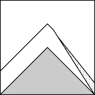
How to read the forecast
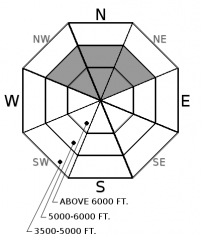
A prolonged dry spell has left us with LOW avalanche danger and generally safe conditions. Watch for isolated areas of unstable snow, especially point release avalanches in consequential terrain. With widespread persisent weak layers on the snow surface, the pump is primed for future problems. Now is a great time to explore more complex terrain.

1. Low
?
Above 6500 ft.
1. Low
?
5000-6500 ft.
1. Low
?
3500-5000 ft.
- 1. Low
- 2. Moderate
- 3. Considerable
- 4. High
- 5. Extreme
-
Type ?
-
Aspect/Elevation ?
-
Likelihood ?CertainVery LikelyLikelyPossible
 Unlikely
 -
Size ?HistoricVery LargeLargeSmall

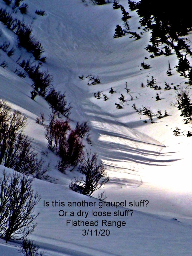
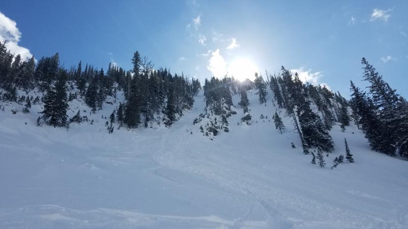
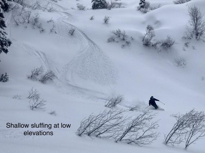
The upper 6"-10" of snow has become cohesionless (as shown in this video) and will sluff easily under the weight of a skier or rider. Loose dry avalanche concerns are isolated to shaded, wind protected slopes steeper than 40 degrees. Look for more than 6" of loose, sugary snow above a slick rain crust to identify the problem. These slides are small and generally harmless unless they drag you into trees, rocks or over cliffs. Assess the snow surface and use sluff management techniques if you are descending very steep, consequential terrain.
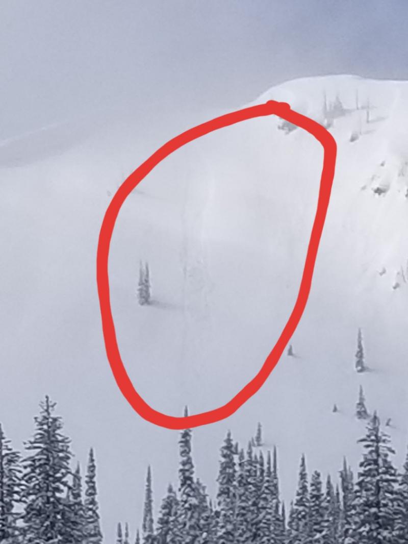
A few light snow flurries today will not change our avalanche concerns. The period of clear, dry weather has metamorphosed the upper snowpack into cohesionless facets in shaded, wind-sheltered terrain. The resulting weak surface snow will pose a significant problem down the road once it gets buried by a slab. For today, the loose snow has potential to release under your feet and fan out in a smaller and more predictable fashion. Observers in the Whitefish Range and Glacier National Park recently reported small, easily triggered sluffs running on the Thanksgiving rain crust in very steep terrain (See this observation).
The old adage "Low danger does not mean no danger" applies today. Although the size and distribution of avalanche concerns are relatively minor, even a small or isolated instability can have harsh consequences in the wrong type of terrain. Don't become complacent. Continue to assess the snowpack, travel one at a time in avalanche terrain, and carry rescue gear. Everything below the stout Thanksiving crust is solidly locked in place, so monitor how much snow is above the crust and how reactive it is.
Join us Wednesday, December 13th for a free motorized avalanche awareness presentation at Penco Power Products in Kalispell at 6:30.
A weak system has snuck past the high pressure, and radar is showing some light precipiation spreading across the Idaha Panhandle towards us this morning. The mountains will see light snow flurries under gentle west-northwest winds. Cold air and low level clouds remain entrenched in the valley. The high pressure ridge flattens this weekend, briefly opening the gates for a more active weather pattern. Unfortunately, this doesn't appear to be the knock-out punch for the "Dome of Doom."
This advisory applies only to backcountry areas outside established ski area boundaries. This advisory describes general avalanche conditions and local variations always occur. This advisory expires at midnight on the posted day unless otherwise noted. The information in this advisory is provided by the USDA Forest Service who is solely responsible for its content.


