| Tuesday | Tuesday Night | Wednesday | |
|---|---|---|---|
| Cloud Cover: | Inversion below stratus clouds | Inversion below stratus clouds | Inversion below stratus clouds |
| Temperatures: | 23-28 deg. F. | 12-17 deg. F. | 23-28 deg. F. |
| Wind Direction: | West | West | West |
| Wind Speed: | 0-10 mph | 0-10 mph | 0-10 mph |
| Snowfall: | 0 in. | 0 in. | 0 in. |
| Snow Line: |
Whitefish Range
Swan Range
Flathead Range and Glacier National Park
How to read the forecast
Today is another great day to travel into the mountains and take advantage of generally stable avalanche conditions and unseasonably nice weather. Watch for isolated areas of unstable snow, especially point release avalanches in extreme or hazardous terrain.

1. Low
?
Above 6500 ft.
1. Low
?
5000-6500 ft.
1. Low
?
3500-5000 ft.
- 1. Low
- 2. Moderate
- 3. Considerable
- 4. High
- 5. Extreme
-
Type ?
-
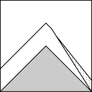
Aspect/Elevation ?
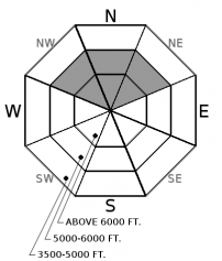
-
Likelihood ?CertainVery LikelyLikelyPossible
 Unlikely
 -
Size ?HistoricVery LargeLargeSmall

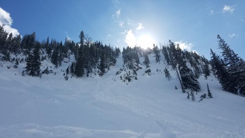
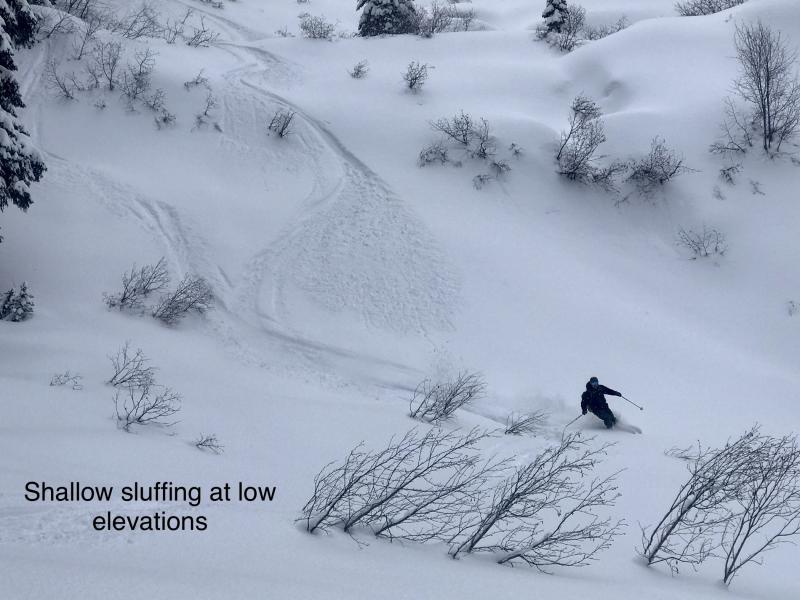
The upper 6"-10" of snow has become cohesionless (as shown in this video) and will sluff easily under the weight of a skier or rider today. Loose snow avalanche concerns are isolated to slopes steeper than about 40 degrees with the right combination of shade, wind protection, and more than 6" of snow from our last storm over a slick rain crust. These slides are small and generally harmless unless they drag you into trees or over rocks or cliffs. Assess the snow surface and ride defensively if you are descending very steep, consequential terrain.
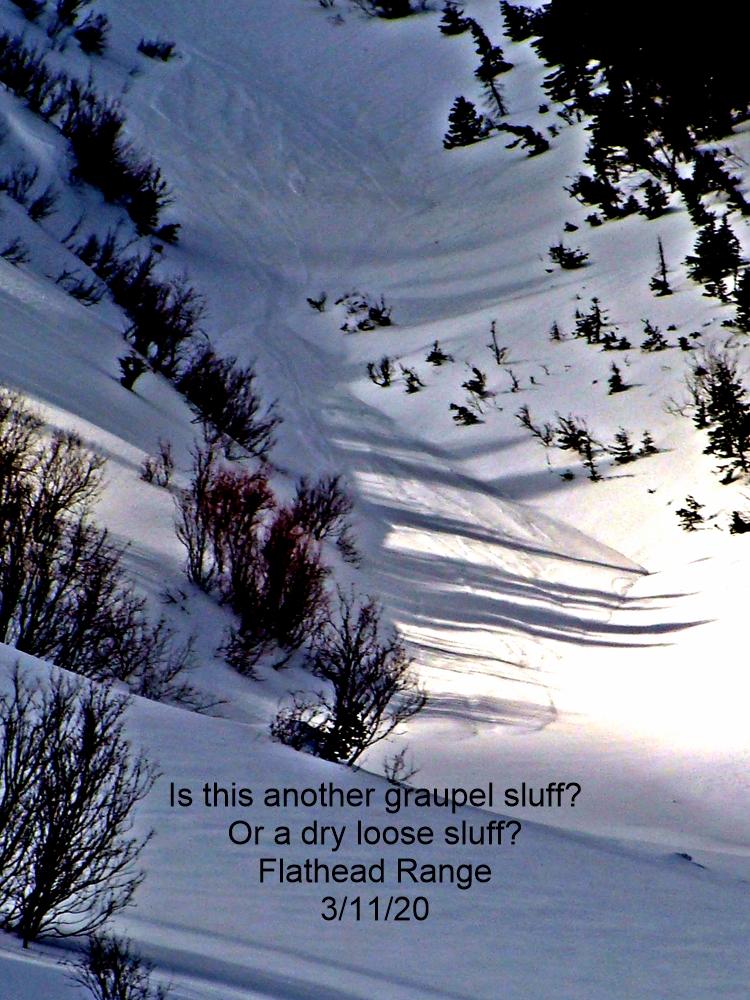
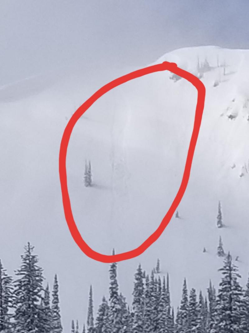
Our long string of clear and dry weather has been metamorphosing the upper snowpack into weak and cohesionless facets in shaded, wind-sheltered terrain. Observers in the Whitefish Range and Glacier National Park reported small but easily triggered sluffs running on our Thanksgiving rain crust (See this observation). A number of point-release avalanches have also run naturally in the past week on southerly aspects as surface snow first became moist or wet from solar warming (see photo). The snow surface on these sunnier slopes has now matured through several melt-freeze cycles and this problem has become less of a concern, especially if the increased cloud cover forecast verifies today. However, keep an eye for isolated instabilities on sunny slopes if the snow surface becomes wet and you start to see rollerballs or pinwheels under your feet.
Wind slabs have become very unlikely to trigger and we have pulled them off the problem list. It has been over a week since our last significant wind loading event and the only noteable sign of instability since then was a table-sized slab that was triggered on Mt. Brown over the weekend. It is still prudent to watch for cracking or isolated pockets of recent drifts in consequential alpine terrain.
Join us Wednesday, December 13th for a free motorized avalanche awareness presentation at Penco Power Products in Kalispell at 6:30.
A strong high pressure ridge is parked over the Western US, bringing dry and stable weather. Cold air accompanied by the all-too-familiar stratus cloud remains entrenched at lower elevations, while the upper elevations will enjoy temperatures rising into the 30's. Satellite imagery shows a stream of upper level clouds moving overhead today. Westerly winds will be light, with some stronger gusts near the Continental Divide. A pattern change is in store for Friday: we can look forward to snowfall returning by this weekend.
This advisory applies only to backcountry areas outside established ski area boundaries. This advisory describes general avalanche conditions and local variations always occur. This advisory expires at midnight on the posted day unless otherwise noted. The information in this advisory is provided by the USDA Forest Service who is solely responsible for its content.


