| Monday | Monday Night | Tuesday | |
|---|---|---|---|
| Cloud Cover: | Heavy snow and windy conditions. | Light to moderate snow and breezy. | Light snow showers. |
| Temperatures: | 10-30 deg. F. | -3 to 17 deg. F. | 16-26 deg. F. |
| Wind Direction: | South-northwest | South-southwest | West-southwest |
| Wind Speed: | 14-16 mph with gusts to 38 | 7-9 mph with gusts to 23 | 6-8 |
| Snowfall: | 11-16 in. | 3-5 in. | 1-2 in. |
| Snow Line: |
Whitefish Range
Swan Range
Flathead Range and Glacier National Park
How to read the forecast
AVALANCHE WARNING IN EFFECT. The avalanche danger is EXTREME at upper elevations. The current storm has added over 3" of water to a snowpack that consists of a variety of weak layers. Both natural and human triggered avalanches are certain. Avoid all avalanche terrain. Stay off of and out from underneath slopes steeper than 30 degrees. Avalanches may run long distances and can reach into mature forests.

5. Extreme
?
Above 6500 ft.
4. High
?
5000-6500 ft.
4. High
?
3500-5000 ft.
- 1. Low
- 2. Moderate
- 3. Considerable
- 4. High
- 5. Extreme
-
Type ?
-
Aspect/Elevation ?

-
Likelihood ?CertainVery LikelyLikelyPossible
 Unlikely
 -
Size ?HistoricVery LargeLargeSmall

During the day yesterday light to moderate southwest winds drifted snow onto typical leeward aspects. The arctic air mass that invaded our area last evening brought with it light to moderate northeasterly winds with moderate to strong gusts. We have an abundance of new snow on the snow surface available for transport and today we can expect to find fresh wind slabs on all aspects. Windy conditions today will continue to form and thicken these slabs. Today's wind slabs should be easy to identify by cracking in the snow surface and newly created pillows of snow. An avalanche that initiates in a wind slab may step down to a deeper weak layer producing a much larger slide. Due to the poor snowpack structure that these slabs are being deposited on, DO NOT RECREATE ON WIND LOADED SLOPES TODAY.
-
Type ?
-
Aspect/Elevation ?

-
Likelihood ?CertainVery LikelyLikelyPossible
 Unlikely
 -
Size ?HistoricVery LargeLargeSmall

Temperatures increased during the day yesterday producing an "upside down" snow surface in the storm snow. Substantial new snow overnight has added to our storm slab problem. The bountiful new snow that we have received over the past 72 hours was deposited onto a weak snowpack structure consisting of near surface weak layers and crusts along with deeper instabilities. An avalanche that initiates at the snowpack surface may step down to a deeper weak layer producing a much larger slide. Cracking in the snow surface is an obvious sign of storm slabs. Avoid recreating in avalanche terrain or any terrain connected to avalanche terrain including runout zones.
-
Type ?
-
Aspect/Elevation ?

-
Likelihood ?CertainVery LikelyLikelyPossible
 Unlikely
 -
Size ?HistoricVery LargeLargeSmall

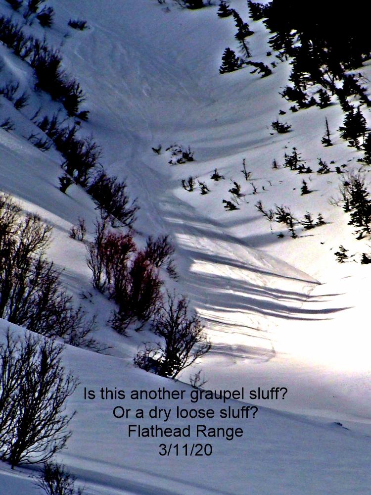
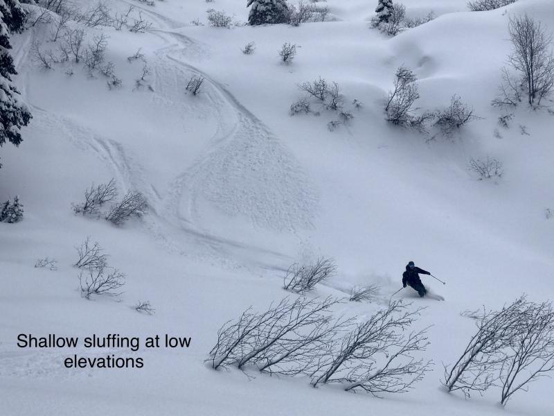
Substantial new snow fell at all elevations over the past 72 hours. This snow has fallen on a variety of surfaces including low density surface snow and crusts. I anticipate that this snow will not adhere to the underlying layer and sluff easily on terrain steeper than 30°. With the deep layer of storm snow on the surface these loose slides have the potential to entrain a fair amount of snow. Avoid recreating above any terrain trap features today where these loose slides could deposit substantial debris.
After a dismally dry January this current storm is a great way to start February! The sheer magnitude of this storm has elevated the avalanche danger but unfortunately this storm is being deposited onto a weak snowpack structure which is making current conditions even more dangerous. We all have powder fever but now is not the time to charge and ski or ride aggressive terrain. Most avalanche accidents occur during or immediately following a storm cycle and therefore give our snowpack a few days to adjust to the load being deposited onto it. Enjoy this storm snow on low angle terrain that is not connected to avalanche terrain.
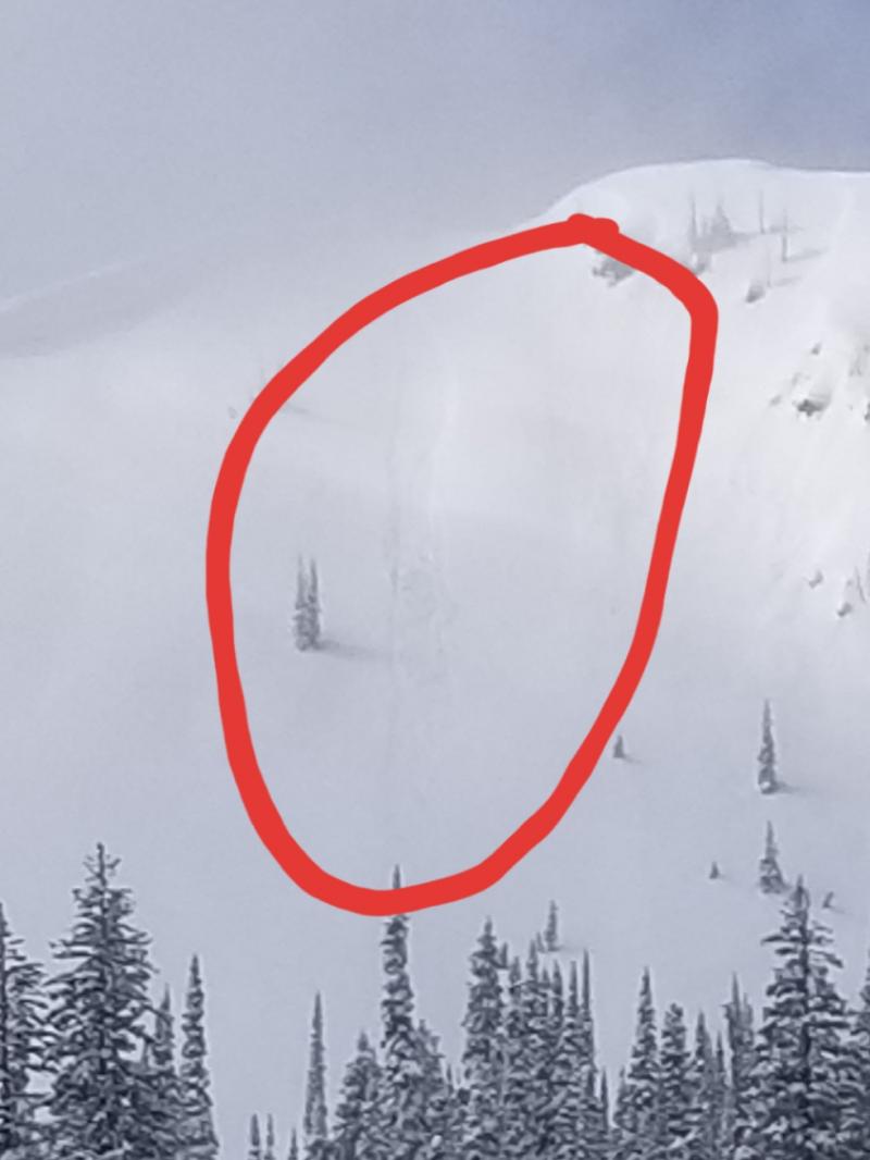
An avalanche incident occurred Saturday in the Lost Johnny area of the Swan Range. 2 members of a snowmobile party were caught in an avalanche with one partial burial and one fullo burial. Fortunately no one was hurt(Observation).
Sunday: Riders in the South Canyon area of the southern Whitefish Range noted storm slab avalanche activity. Skiers on Skookaleel Ridge in the southern Whitefish Range observed a tender storm slab that easily produced fracturing by stepping on the snow surface. Skiers on Triangle Peak, in the Flathead Range, noted an upside down snowpack, shooting cracks and small windslab avalanche activity.
Saturday: We received several reports from riders in the Lost Johnny area of the Swan Range. There was an incident involving a party of snowmobilers with one full burial and one partial burial. Fortunately there were no injuries.(Observation) WMR ski patrol reported good results with both ski cutting and explosive use. They noted that most of their wind slabs were the result of northerly winds. BNSF Avalanche Safety reported small slab avalanche activity on low elevation steep cutbanks.
Friday: Guy and Mark travelled to the Skyland area of the Flathead Range. A layer of buried surface hoar was found approximately 6" below the surface in both north and south facing pits. This layer was reactive in stability tests but did not propagate due to the lack of a slab above. Soft surface snow conditions were found at mid and upper elevations.
See below for all observations this season.
Determining the amount of new snow that has fallen during this storm is difficult due to settlement and wind. However the amount of water we have received is IMPRESSIVE. Snotel sites have reported snow water equivalents (SWE) of over 3" at upper elevation locations with the Flattop station reporting 4.5". A valley floor weather station near Devil Creek in John F. Stevens Canyon is reporting 18" of new snow in the past 24 hours. Rapid warming occurred at all elevations during the day yesterday before an arctic air mass entered our area with easterly winds which plummeted temperatures dramatically. New snow amounts in the past 24 hours are difficult to determine but 10-20" would be a modest guess. Currently, temperatures above 6000 feet range from -15 to 0º F with winds out of the northeast at 12-29 mph with gusts of 19-35. Heavy snow and windy conditions will continue throughout the day.
| 0600 temperature: | 0 to -15 deg. F. |
| Max. temperature in the last 24 hours: | 24-26 deg. F. |
| Average wind direction during the last 24 hours: | Southwest shifting to NE |
| Average wind speed during the last 24 hours: | 3-29 mph |
| Maximum wind gust in the last 24 hours: | 17-31 mph |
| New snowfall in the last 24 hours: | 10-20 inches |
| Total snow depth: | 79-96 inches |
This advisory applies only to backcountry areas outside established ski area boundaries. This advisory describes general avalanche conditions and local variations always occur. This advisory expires at midnight on the posted day unless otherwise noted. The information in this advisory is provided by the USDA Forest Service who is solely responsible for its content.


