| Friday | Friday Night | Saturday | |
|---|---|---|---|
| Cloud Cover: | Partly to Mostly cloudy. | Mostly cloudy. | Windy with an incoming storm. |
| Temperatures: | 25-33 deg. F. | 20-25 deg. F. | 25-35 deg. F. |
| Wind Direction: | Southwest | Southwest | Southwest |
| Wind Speed: | 5-8 | 6-8 | 5-15 mph with gusts to 25 mph. |
| Snowfall: | 0-1 in. | 1-2 in. | 1-2 in. |
| Snow Line: |
Whitefish Range
Swan Range
Flathead Range and Glacier National Park
How to read the forecast
Snow over the past 48 hours, combined with wind, has created dangerous avalanche conditions in some upper elevation locations. This snow accumuluated on a variety of surfaces including sun crusts, surface hoar, and facets. Wind slabs also exist. It is time to get your head back into the avalanche game. Carefully evaluate any slope you plan to recreate on. We will provide general avalanche information, and begin issuing daily advisories with hazard ratings once we have enough information.

No Rating
?
Above 6500 ft.
No Rating
?
5000-6500 ft.
No Rating
?
3500-5000 ft.
48 hour new snow totals as of 0600 range from 3-5 inches in John F. Stevens Canyon, 5' inches at WMR, 7 inches at Stahl Peak with Noisy Basin in the Swan Range receiving the lions share of this storm with 14 inches of snow and 2.0" of snow water equivalent. This new snow is falling on a variety of surfaces including surface hoar, facets and sun crusts and dangerous avalanche conditions exist in some locations. These weak layers could remain problematic for quite some time. We currently don't have a great handle on the distribution and reactivity of these layers across our advisory area as access to upper elevations has been sparse (except for a few locations in the Swan Range and southern Whitefish Range). Regardless, avalanches have occurred and it is still possible and potentially likely to trigger an avalanche today.
Near ridgelines, winds are drifting this snow onto leeward aspects and forming fresh wind slabs. Snow and wind throughout today, tonight and tomorrow will continue to redistribute this snow and add thickness to these fresh wind slabs. Evaluate all wind loaded terrain today before committing to a slope. Look for smooth rounded pillows on leeward sides of ridges and cross loaded terrain features. Obvious signs of instability will be cracking, whumphing and hollow sounds. In areas favored by this storm dry loose avalanches on steep terrain will be possible especially on sunny aspects.
Remember, avalanches can happen any time of the year. The effect of small avalanches can be amplified by thin snow cover, exposed hazards, and narrow gullies. If there is enough snow to ski or ride, it's deep enough to slide.
____________________________________________________________________________________________________________
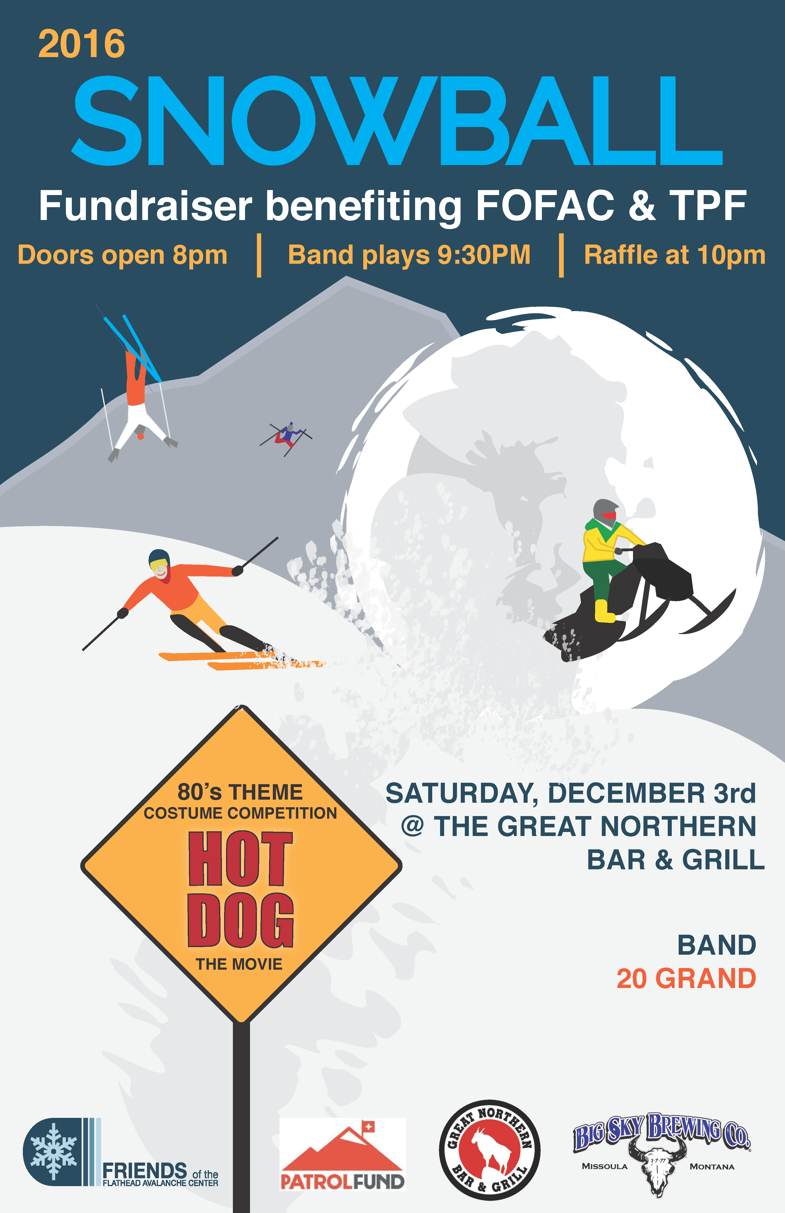
Join the Friends of the Flathead Avalanche Center (FOFAC) and The Patrol Fund for a fundraiser for avalanche education. It's an 80s-themed party with a costume contest, raffle prizes (including skis), and a ton of fun.
Doors open at 8:00 pm.

Next Thursday, December 8 join us at the Sportsman and Ski Haus in Whitefish for a free 1 hour avalanche awareness presentation.
Yesterday (Thursday), skiers in the Jewel Basin in the Swan Range reported about 10-14 inches of new snow that was poorly bonded to the old snow surface. They observed and intentionally triggered a few small avalanches on wind drifted aspects up to 12-16 inches deep, and also noticed cracking of the snowpack. On non-wind loaded terrain, they experienced dry sluffing of the new snow.
On Wednesday skiers on Mt. Aeneas in the Swan Range reported moderate winds that were forming 5-10" thick wind slabs on ridgelines. Just below the ridgelines cracking was observed but the slabs were less cohesive. On Tuesday one of these skiers noted a thin layer of facets just above a ice mass 20 cm from the ground. Partial propagation occurred in his ECT on this weak layer.
Mark visited the backcountry outside of the WMR resort on Tuesday. All aspects above 5500' had both a thin layer of surface hoar on the snow surface and a ice mass forming the basal snowpack. Sunny aspects had a thin sun crust just below the surface which failed easily in stability tests. No wind slabs were encountered on this relatively sheltered tour.
Winter has returned to our area. As of 6:00 a.m. temperatures at upper elevation weather stations range from the low to mid 20s F with light to moderate winds. About an inch will accumulate throughout today and into tonight. Upper elevation temperatures should top out in the mid 20s F today.
| 0600 temperature: | 18-24 deg. F. |
| Max. temperature in the last 24 hours: | 22-27 deg. F. |
| Average wind direction during the last 24 hours: | SSW |
| Average wind speed during the last 24 hours: | 5-15 mph |
| Maximum wind gust in the last 24 hours: | 15-37 mph |
| New snowfall in the last 24 hours: | 2-4 inches |
| Total snow depth: | 31-46 inches |
This advisory applies only to backcountry areas outside established ski area boundaries. This advisory describes general avalanche conditions and local variations always occur. This advisory expires at midnight on the posted day unless otherwise noted. The information in this advisory is provided by the USDA Forest Service who is solely responsible for its content.


