Whitefish Range
Swan Range
Flathead Range and Glacier National Park
How to read the forecast
Don't let the recent dry sunny weather and overall thin snow pack lull you into complacency. Above 6000 feet there is sufficient snow for an avalanche to occur and recent winds have been strong enough to transport snow and form wind slabs in favored locations. Look for obvious signs of instability such as shooting cracks, whumpfing or hollow sounds. Carefully evaluate all slopes before recreating on any slope. We will continue to update information without hazard ratings as conditions warrant.

No Rating
?
Above 6500 ft.
No Rating
?
5000-6500 ft.
No Rating
?
3500-5000 ft.
Relatively benign weather over the past 3 days has left us with current snow pack depths that range from 20 inches at Noisy Basin to 40 inches at Stahl Peak. Wind speeds were generally light with moderate gusts although a period of strong gusts was recorded Sunday night/Monday morning. Despite our lack of recent snowfall wind transport continues to occur in favored locations likely forming thin slabs along leeward ridge lines. Given the early season conditions, these wind-loaded areas will be the most filled in and the most attractive slopes to play on. Unfortunately, these are also the slopes most likely to slide.
Remember, avalanches can happen any time of the year. The effect of small avalanches can be amplified by thin snow cover, exposed hazards, and narrow gullies. If there is enough snow to ski or ride, it's deep enough to slide.
Before heading out in the backcountry it is important to check your gear that has been stored all summer. Look for any damage to shovels and probes that you neglected to repair/replace in the warm weather. Dont forget the fresh batteries for your beacon and practice using it with your partner. Finally, start to think snow/snowpack. A great way to dust off the cob webs is to join us for one of our upcoming avalanche awareness presentations. See upcoming events here.
_______________________________________________________________________________________________________________
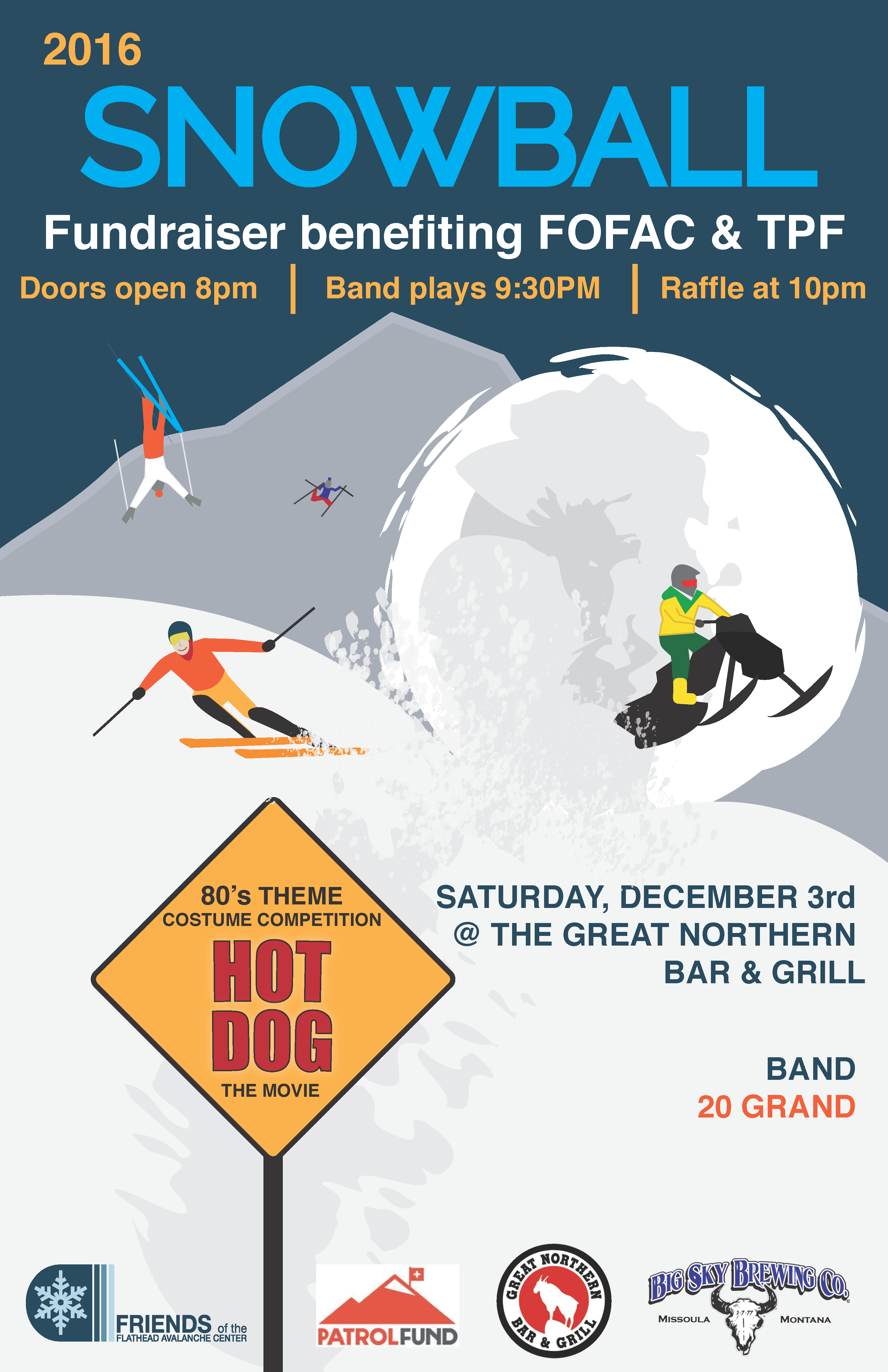
Join the Friends of the Flathead Avalanche Center (FOFAC) and The Patrol Fund for a fundraiser for avalanche education. It's an 80s-themed party with a costume contest, raffle prizes (including skis), and a ton of fun.
Doors open at 8:00 pm.

Skiers on Saturday ventured outside of our advisory area to Many Glacier on the east side of Glacier Park. They reported little to no snow below 5500 feet with generally 2-4 feet above that. Winds were moderate to strong throughout their tour with many slopes becoming scoured. Most wind slabs that they encountered were stubborn and unreactive but they did note one small slab avalanche.
On Thanksgiving Day (11/24) skiers in the northern Whitefish Range reported that above 6000 feet there was a thin but skiable "right side up" snowpack. Moderate to strong winds were transporting snow onto typical (easterly) leeward aspects throughout their tour. No other signs of instability were noted.
A dry day with seasonal temperatures and light westerly winds is expected today. As of 6:00 a.m. temperatures at upper elevation weather stations range from the mid-teens to mid 20s F with light winds accompanied by moderate gusts. Clearing tonight will lead to cold temperatures Wednesday morning followed by a return to unsettled weather and light snow Wednesday and Thursday.
This advisory applies only to backcountry areas outside established ski area boundaries. This advisory describes general avalanche conditions and local variations always occur. This advisory expires at midnight on the posted day unless otherwise noted. The information in this advisory is provided by the USDA Forest Service who is solely responsible for its content.
Call
Contact
In Partnership With

In Partnership With


