| Saturday | Saturday Night | Sunday | |
|---|---|---|---|
| Cloud Cover: | Mostly cloudy with snow showers | Partial clearing | Partly cloudy, snow showers in the evening |
| Temperatures: | 35-43 deg. F. | 20-27 deg. F. | 31-43 deg. F. |
| Wind Direction: | SW | SW/W | E |
| Wind Speed: | 9 gusts 20 | 5-7 gusts 15-17 | 9-10 gusts 20-23 |
| Snowfall: | 1-2 in. | 0 in. | 0-1 in. |
| Snow Line: |
Swan Range
Flathead Range and Glacier National Park
How to read the forecast
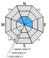
The hazard is MODERATE above 6000 feet, where it remains possible to trigger recently formed wind slabs. Generally safe conditions exist below 6000 feet, and the hazard is LOW. When traveling in upper elevation terrain, identify wind loaded areas and avoid steep, consequential terrain where wind slabs exist.

2. Moderate
?
Above 6500 ft.
1. Low
?
5000-6500 ft.
1. Low
?
3500-5000 ft.
- 1. Low
- 2. Moderate
- 3. Considerable
- 4. High
- 5. Extreme
-
Type ?
-
Aspect/Elevation ?

-
Likelihood ?CertainVery LikelyLikelyPossible
 Unlikely
 -
Size ?HistoricVery LargeLargeSmall

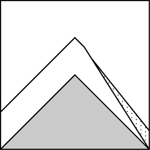
The wind slab problem should be confined to leeward ridges and cross loaded features at upper elevation. In the highest reaches, these slabs could be 12-20 inches thick and become deeper with additional wind and snow today. Be sure to assess these slopes for recent wind slabs and avoid steep, consequential terrain where they are present.
-
Type ?
-
Aspect/Elevation ?
-
Likelihood ?CertainVery LikelyLikelyPossible
 Unlikely
 -
Size ?HistoricVery LargeLargeSmall

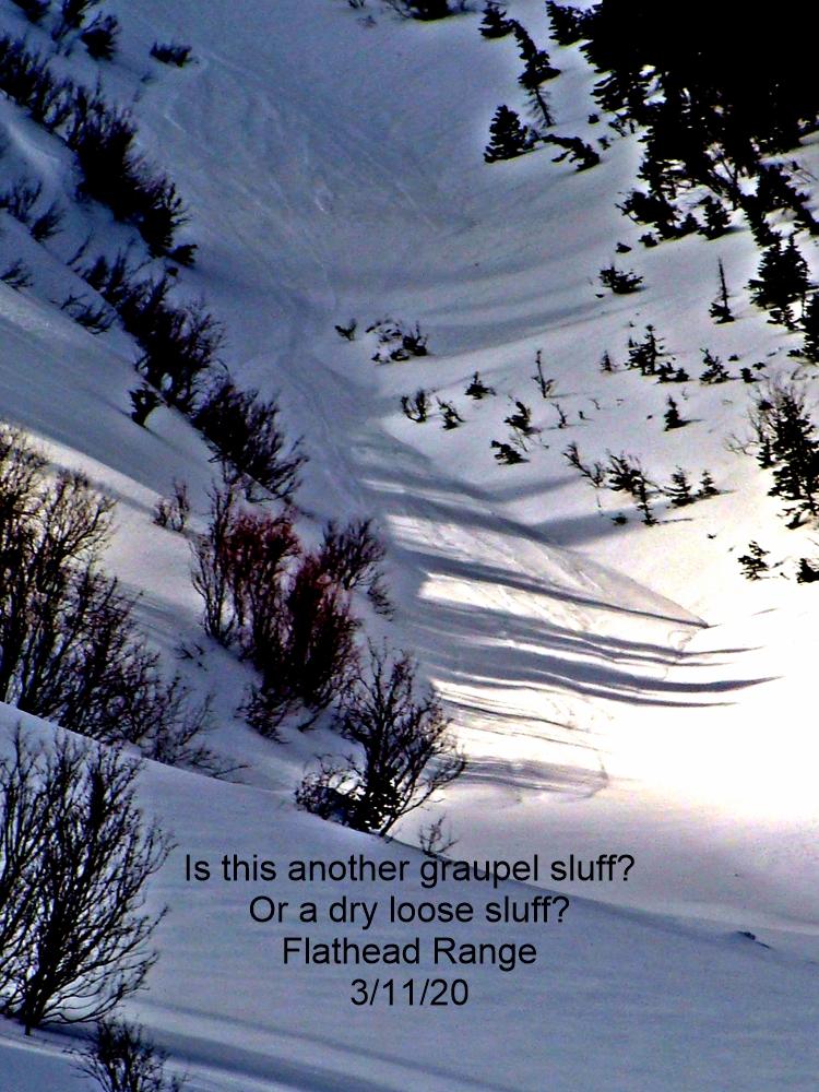
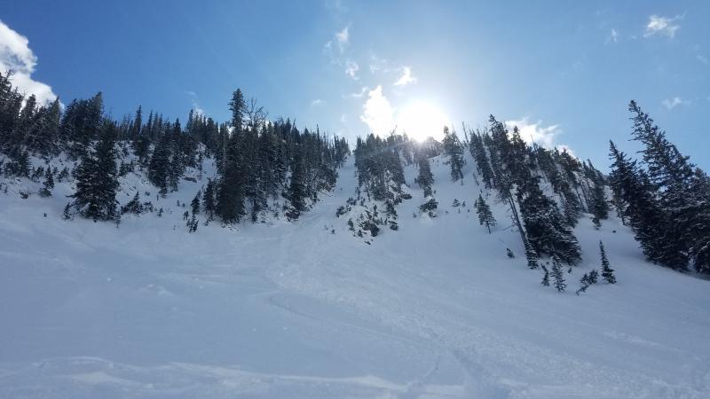
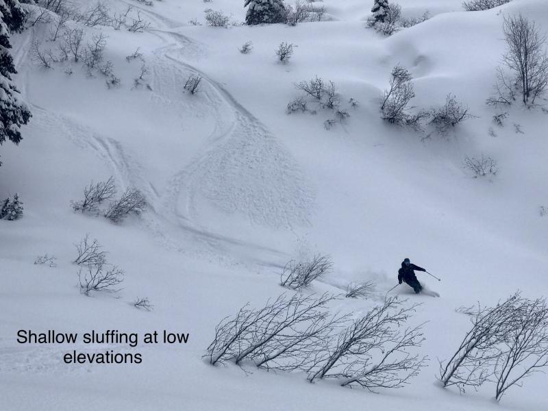
4-6 inches of low density, recent snow fell on a slick melt-freeze crust and a few more inches are expected today. Loose, dry avalanches (sluffs) will be fairly small and manageable, but have the potential to entrain a lot of snow in consistently steep terrain. Even a small sluff can knock you around and be dangerous in consequential terrain like rocky or cliff areas.
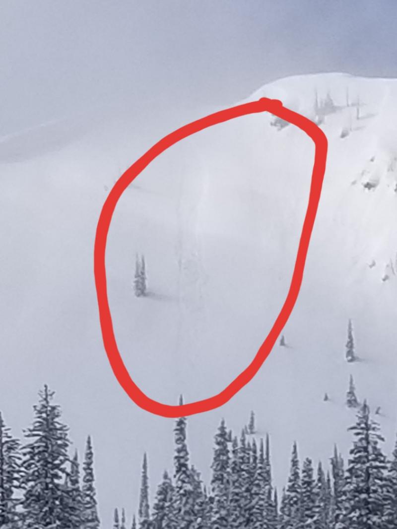
Additional Concerns: Longer days and warmer temperatures may cause large cornices to weaken and fail. It is the time of year to avoid traveling below cornices and stay well behind them while traveling along ridgelines as they can break farther back than expected.
NOTE: Ortovox is recalling the S1+ avalanche transceiver. More info: http://www.ortovox.com/4875--handling_recall.html
The final avalanche advisory of the season will be issued Sunday, April 5, 2015.
Two skiers were caught in a cornice triggered, loose snow avalanche on Appistoki Peak in Glacier National Park yesterday, they were carried 200 feet. Thankfully no one was injured. Another skier in the party triggered a wind slab on their descent. Though this incident occurred just outside of the advisory area, it is certainly representative of the conditions that exist locally (observation).
We traveled to the Marion Lake area in the Flathead Range yesterday. 4-5 inches of snow had fallen on top of a supportable melt-freeze crust in the previous 24 hours. On leeward slopes we found wind drifted snow that was up to a foot deep, and at higher elevations (above 7500 feet) wind drifting continued through the day (photo). On steep slopes in shaded terrain, the new snow readily slid on the melt-freeze crust as we descended.
Another cold front is expected to pass through the area this morning and bring a few more inches of mountain snow. In the past 24 hours most locations stayed dry, while Noisy Basin picked up an inch and Flattop Mountain got 2 inches of new snow. Currently, temperatures range from 22º-29º F and winds are out of the southwest 4-7 mph with gusts to 15 mph. Today should see mostly cloudy skies with temperatures in the upper-30s. Winds will blow out of the southwest at 5-10 mph with ridgetop gusts in the mid-20s. This fast moving system should favor the southern part of the advisory area in the amount of new snow.
| 0600 temperature: | 22-29 deg. F. |
| Max. temperature in the last 24 hours: | 27-39 deg. F. |
| Average wind direction during the last 24 hours: | SW |
| Average wind speed during the last 24 hours: | 5-10 mph |
| Maximum wind gust in the last 24 hours: | 15-20 mph |
| New snowfall in the last 24 hours: | 0-1 inches |
| Total snow depth: | 59-98 inches |
This advisory applies only to backcountry areas outside established ski area boundaries. This advisory describes general avalanche conditions and local variations always occur. This advisory expires at midnight on the posted day unless otherwise noted. The information in this advisory is provided by the USDA Forest Service who is solely responsible for its content.


