| Monday | Monday Night | Tuesday | |
|---|---|---|---|
| Cloud Cover: | Precipitation tapering. | Slight drying and cooling. | Another warm, but less moist storm enters the region. |
| Temperatures: | 36-47 deg. F. | 21-31 deg. F. | 38-52 deg. F. |
| Wind Direction: | South and East | East | South and East |
| Wind Speed: | 5-10 mph | 5-15 mph with gusts to 22 mph. | 5-10 mph with gusts to 20 mph. |
| Snowfall: | 0 in. | 0 in. | 0-1 in. |
| Snow Line: |
Whitefish Range
Swan Range
Flathead Range and Glacier National Park
How to read the forecast
Rain tapering this morning. Near the Continental Divide snow will fall above 5000 feet with higher snow levels in other areas. Heavy rain fell over the past 36 hours with some areas receiving over 4 inches of precipitation. Free water is still moving through the snowpack. The hazard is CONSIDERABLE above 5000 feet due to continued rain on snow as well as newly formed storm and wind slabs where snow fell, and MODERATE below 5000 feet. Dangerous avalanche condtions exist.

3. Considerable
?
Above 6500 ft.
3. Considerable
?
5000-6500 ft.
2. Moderate
?
3500-5000 ft.
- 1. Low
- 2. Moderate
- 3. Considerable
- 4. High
- 5. Extreme
-
Type ?
-
Aspect/Elevation ?
-
Likelihood ?CertainVery LikelyLikelyPossible
 Unlikely
 -
Size ?HistoricVery LargeLargeSmall

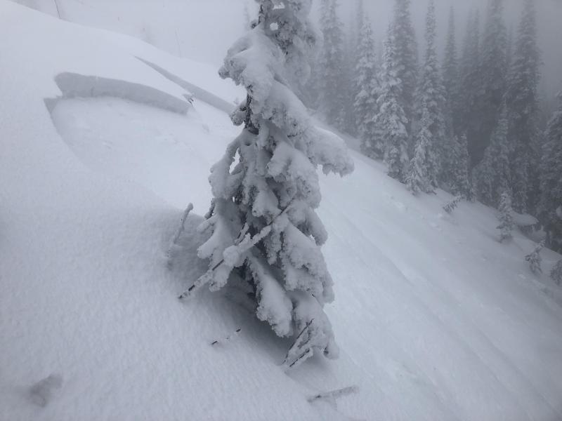
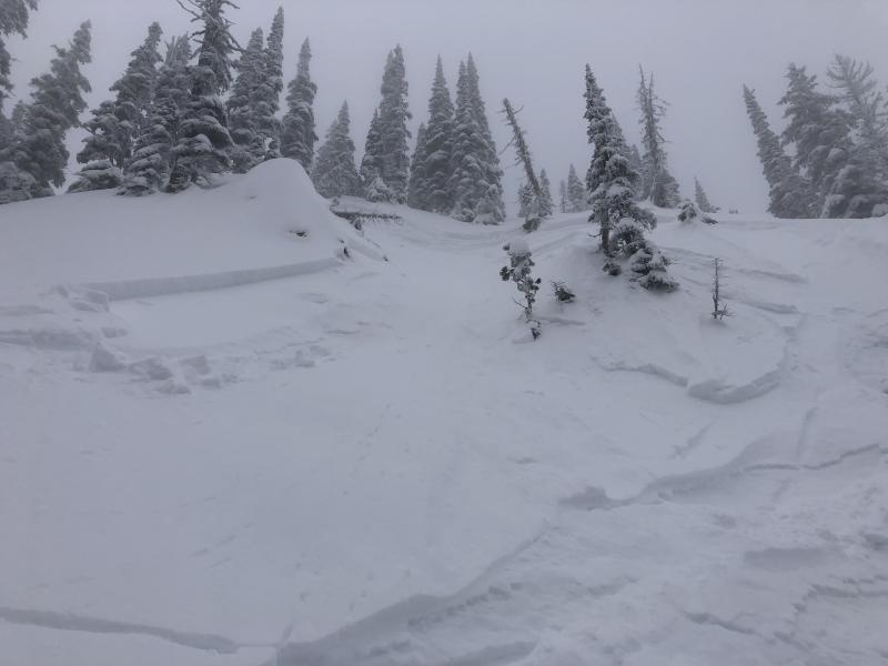
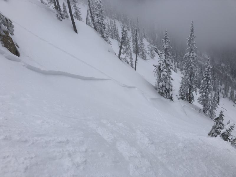
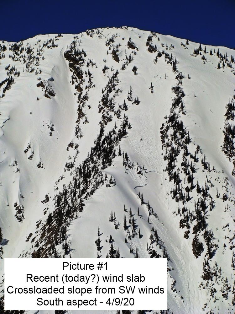
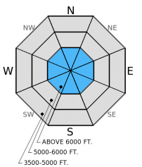
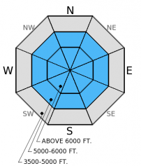
Strong gusty winds and new snow at the upper-most elevations likely created dangerous storm and wind slabs. Since there is uncertainty associated with snow levels from this storm, storm and wind slabs could exist higher or lower than expected. Wind slabs will mostly exist on the typically leeward sides (E, NE, N, and NW), but given the winds switched to the NE in some locations early this morning wind slabs could exist on any aspect. Give these slabs time to adjust, and avoid steep, wind loaded terrain today. Visibility will likely be poor in recently wind loaded areas, making these slabs difficult to identify. Carefully assess leeward slopes for sensitive windslabs and be aware of mid-slope cross loaded features like rock outcrops and tree islands.
-
Type ?
-
Aspect/Elevation ?
-
Likelihood ?CertainVery LikelyLikelyPossible
 Unlikely
 -
Size ?HistoricVery LargeLargeSmall

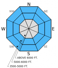
The surface hoar above the late-January crust is likely no longer a concern with the substantial rain over the past 36 hours, now the concern is the underlying crust. As rain penetrates the snow pack and pools on this robust crust, it weakens the bond between slab and crust and may fail as a wet slab. The wet slab problem is more difficult to manage than loose, wet avalanches as it can potentially propagate across the slope and above you. A smaller loose, wet avalanche may stress an underlying slab and trigger a larger, wet slab. If you venture out today, be aware of the wet slab potential and avoid steep terrain. Identify areas where a deeper crust exists and and where water may pool and weaken various layers in the snowpack. Additionally, as water has been moving through the snow for several days, keep recently opened glide cracks in mind. Glide avalanche failure is difficult to predict and can produce destructive avalanches that fail at the ground. Given the uncertainty, avoid slopes where glide cracks are present.
-
Type ?
-
Aspect/Elevation ?
-
Likelihood ?CertainVery LikelyLikelyPossible
 Unlikely
 -
Size ?HistoricVery LargeLargeSmall

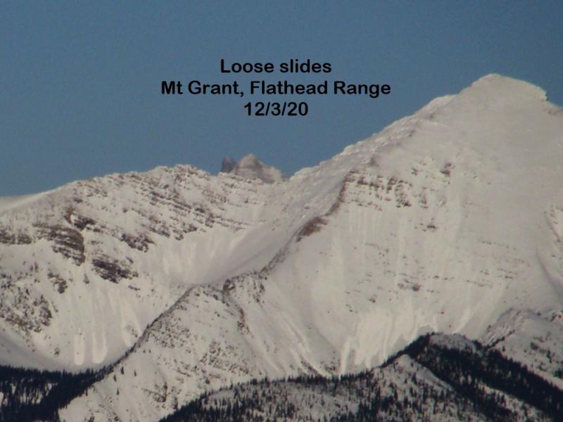
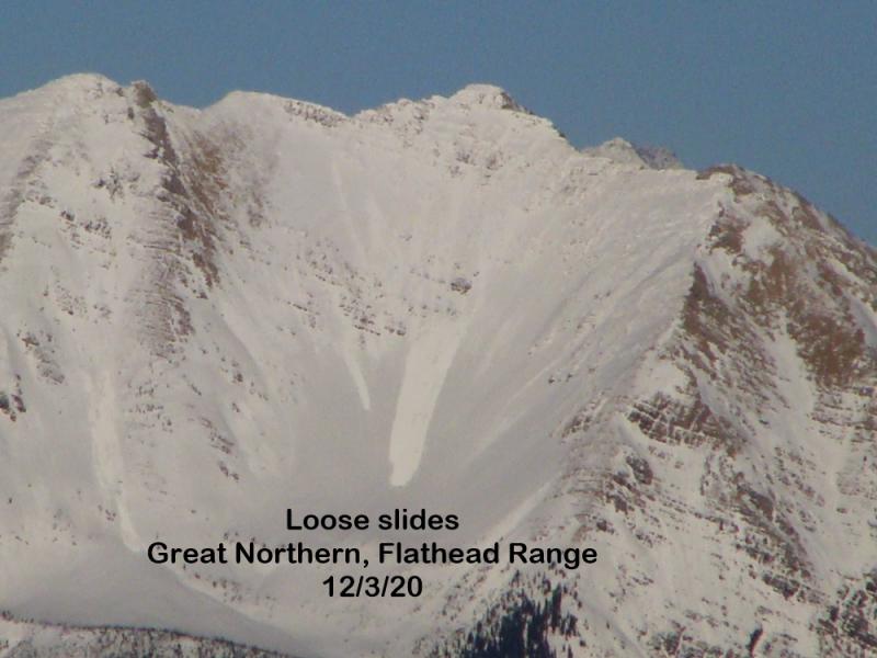
Substantial rain on snow created a wet and unstable snow surface on all aspects and at high elevations across the advisory area over the past 36 hours. While areas closer to the Continental Divide cooled below freezing, other locataions further west are still above freezing. With continued rain this morning at mid and lower elevations, we could see natural and human triggered loose, wet avalanches Loose, wet avalanches are possible in the upper band of the low elevation range, while rain simply melts what is left of the lower end snow. Stick to low angle terrain and avoid terrain traps like narrow gullies and cliff bands even on small slopes.
The next scheduled advisory will be on Tuesday, March 17, 2014.
Since conditions were rather wet and miserable the past 36 hours we received no new observations (for good reason, I suppose). Precipitation amounts were rather impressive in the Flathead Range and Glacier National Park area. However, amounts have been rather variable even across the same ranges. I'll allow the precip (liquid water) amounts from various stations to tell the story.
| Station | Storm Total | Past 24 hours |
|---|---|---|
| Fielding (4641 ft.) | 2.6 inches | 1.7 inches |
| Java East (4100 ft.) | 3.5 inches | 2.2 inches |
| Marias Pass Summit (5223 ft.) | 2. 0 inches | 1.6 inches |
| Pike Creek SNOTEL (5900 ft.) | 2.5 inches | 1.6 inches |
| Flattop Mt. SNOTEL (6300 ft.) | 4.5 inches | 2.3 inches |
| Noisy Basin SNOTEL (6040 ft.) | 1.7 inches | 1.2 inches |
| Big Mountain Summit (6800 ft.) | 1.3 inches | 0.9 inches |
| Stahl Peak SNOTEL (6030 ft.) | 2.6 inches | 2.0 inches |
Early this morning a back door Canadian cold front from the east caused winds to shift and snow to fall near the Continental Divide. Since the moisture feed from the southwest appears to taper this morning there is some uncertainty with actual snow amounts in the Flathead Range and Glacier NP. The upper elevations (>7000 feet) through this storm likely still received mostly snow. Thus, thick storm and wind slabs could exist at the upper elevations. Mountain stations report temperatures dropping below freezing in this area, and snow beginning to accumulate.
On Saturday afternoon a warm and wet storm system moved into the area and brought substantial rain to all but the highest elevations over the past 36 hours. Precipitation totals for the storm thus far range from 1.3 to an impressive 4.5 inches. Currently, mountain temperatures range from 20 to 35º F and winds are moving out of the southwest at 8-11 mph with gusts 13-20 mph. For today expect temperatures to reach the mid to upper 30s with tapering precipitation by noon and winds out of the southwest in the Whitefish and Swan Ranges, and north-northeast in the Flathead Range and Glacier National Park.
| 0600 temperature: | 20-35 deg. F. |
| Max. temperature in the last 24 hours: | 38-46 deg. F. |
| Average wind direction during the last 24 hours: | SW |
| Average wind speed during the last 24 hours: | 8-16 mph |
| Maximum wind gust in the last 24 hours: | 31-33 mph |
| New snowfall in the last 24 hours: | 0-6 inches |
| Total snow depth: | 57-90 inches |
This advisory applies only to backcountry areas outside established ski area boundaries. This advisory describes general avalanche conditions and local variations always occur. This advisory expires at midnight on the posted day unless otherwise noted. The information in this advisory is provided by the USDA Forest Service who is solely responsible for its content.


