


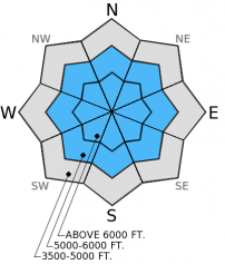


For 5000 ft. to 7000 ft.
| Saturday | Saturday Night | Sunday | |
|---|---|---|---|
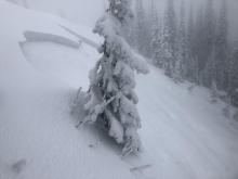
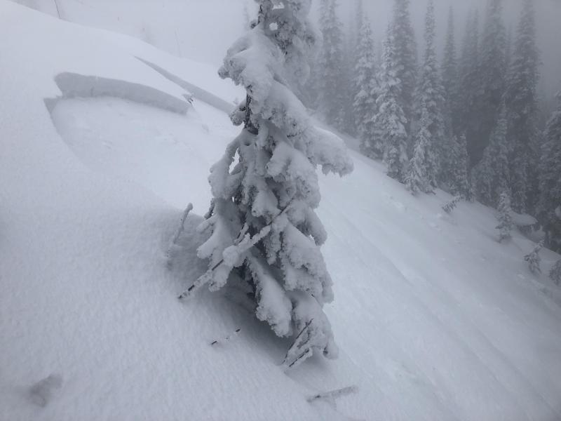
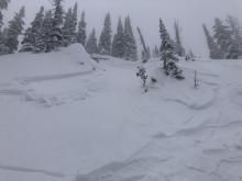
| Cloud Cover: | Continued precipitation with lowering snow levels. | Snow showers | Mostly cloudy |
| Temperatures: | 34-38 deg. F. | 29-31 deg. F. | 32-37 deg. F. |
| Wind Direction: | S | SW | SW |
| Wind Speed: | 8-24 | 14-29 | 8-21 |
| Snowfall: | 1 in. | 3-4 in. | 0 in. |
| Snow Line: |


